
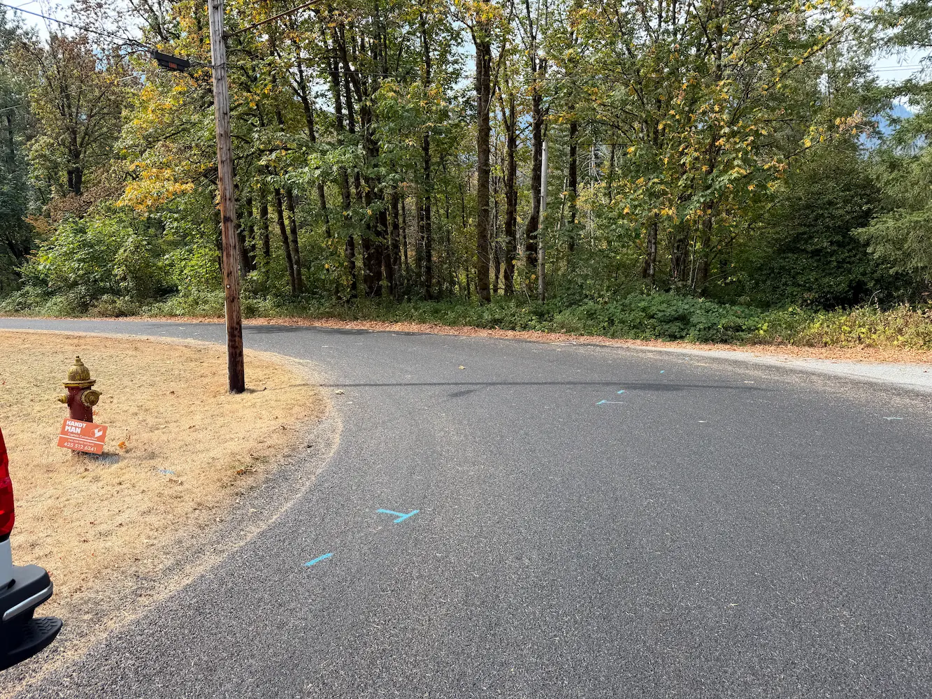
Town of Index Watermain Replacement
Index, WA
S&F prepared design-level base mapping covering the full width of the right-of-way along approximately 1,100 feet of Index Avenue, together with 2nd Street and 7th, and a 900-foot section of Old Gold Bar-Index Road in support of asbestos-cement waterline replacement. Survey control, rights-of-way, roadway centerlines, and the BNSF/NPRR railroad right-of-way were established from recorded plats, NPRR plans and surveys, and public records, and compared against Snohomish County parcel GIS. Existing aerial and LIDAR mobile mapping sources supplemented the field survey.
Project Details
MARKET
Utilities, Water and Environmental
SERVICE
Topographic Surveying, Control Surveys, Right-of-Way Establishments, Mobile Mapping, GIS Support
LOCATION
Index Washington