
MCR South Jetty
Clatsop County, OR
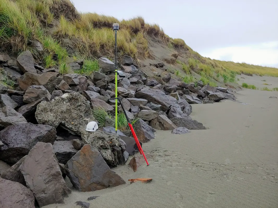
S&F, in partnership with JE McAmis, was selected by USACE for the 5-year South Jetty Rehabilitation Project. S&F conducts near-monthly UAV flights to monitor construction progress and seasonal degradation, and performs UAS mapping over a 3-mile stretch of the Jetty. We also manage a subcontracted multi-beam hydrographic survey conducted twice annually to map submerged sections. Using combined point cloud data from aerial and hydrographic sources, S&F develops comprehensive 3D models of the Jetty. Our team also prepares alignments, repaired template surfaces, and machine control-ready data files to support construction. Post-construction, we deliver updated plans in full compliance with USACE drafting standards.
Project Details
MARKET
Federal, Water and Environmental
SERVICE
Drone LiDAR and Aerial Imagery, Topographic Surveying, BIM Modeling
LOCATION
Clatsop County, OR