
Portland Meadows
Portland, OR
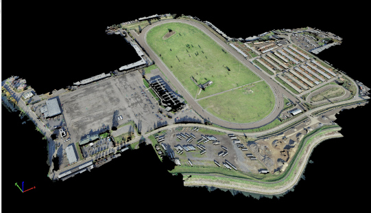
S&F performed two plats, totaling 120 acres, through the City of Portland’s unique “Lot Validation” process. The final plats included preparing legal descriptions of the very complicated boundary resolution of historic properties bound by canals, slough, roadways and historic deeds of large scale. All of the properties involved were affected by historic Peninsula Drainage District easements – all needed to be researched and either plotted and noted on the plat, or removed upon verification that they did not affect the property being platted. An Aerial Survey of the 120 acre Portland Meadow site was performed in 4 hours, collecting 80% of the topography for this large site. The remaining topography was collected with ground survey. The imagery was processed and a 3D point cloud created. The 3D point cloud and imagery were used to create a CAD base of planimetrics and surface – ground survey data was meshed to create one single basemap.
Project Details
MARKET
Commercial
SERVICE
Short Plats/Subdivisions, Legal Descriptions, Boundary Surveying, Drone LiDAR and Aerial Imagery, Topographic Surveying, Title Review