
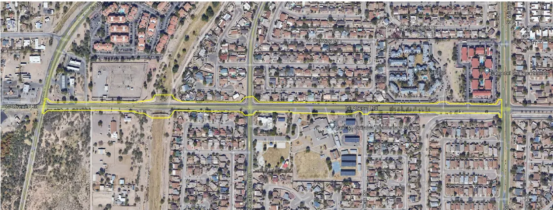

West Drexel Road
Tucson, AZ
S&F provided comprehensive surveying services for the W. Drexel Road corridor improvement to support transportation planning and design efforts for a key urban roadway. The work included a detailed topographic survey along the project alignment, capturing surface features, improvements, and above-ground utilities, supplemented by UAV/drone-based aerial imagery to produce a high-resolution, georeferenced orthophoto integrated with the survey mapping. S&F also coordinated Arizona 811 utility locates, surveyed and mapped underground utility markings within the right-of-way, and performed a right-of-way survey that included monument recovery, records research, and the determination of final right-of-way lines. In addition, S&F is preparing three legal descriptions and exhibits to support right-of-way dedication.
Project Details
MARKET
Transportation
SERVICE
Drone LiDAR and Aerial Imagery, Legal Descriptions, Right-of-Way Establishments, Topographic Surveying
LOCATION
Tucson, AZ