

U-Haul Tucson
Tucson, AZ
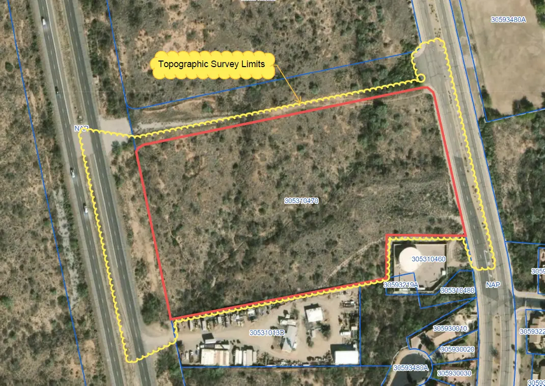
11 acre ALTA survey and full topographic survey for design purposes to support the design of a new U-Haul facility in North Tucson. The site consisted of a wash running through the middle of the property. UAV/drone mapping was used to create a dense point cloud of the surface – creating a detailed surface to be used by design professionals in the development of their civil plans. The boundary and all easements/encumbrances were mapped and noted on a final, sealed ALTA Survey.
Project Details
MARKET
Commercial
SERVICE
ALTA Surveys, Drone LiDAR and Aerial Imagery, Topographic Surveying
LOCATION
Tucson, AZ