
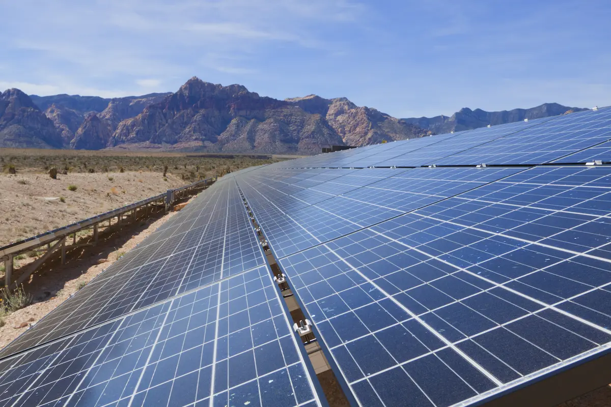

Multiple Solar Farms Ranging from 500-6,000 Acres
Arizona & California
S&F Land Services has performed topographic and boundary surveying for many Solar sites throughout Arizona and neighboring states. Often, time is of the essence on the larger sites. S&F decreases the timeline of work by utilizing UAV/drone (LiDAR and Imagery) to map these large sites. 2,000 acres can be topographically surveyed in one flight/day – followed by ground survey fill-in and Quality Assurance work. Many of these sites are remote and in locations with only historic government survey evidence. Our crews are trained to exhaust searches for original evidence. We utilize UTVs to move about sites quickly.
Project Details
MARKET
Energy
SERVICE
Boundary Surveying, Drone LiDAR and Aerial Imagery, Topographic Surveying
LOCATION
Arizona & California