
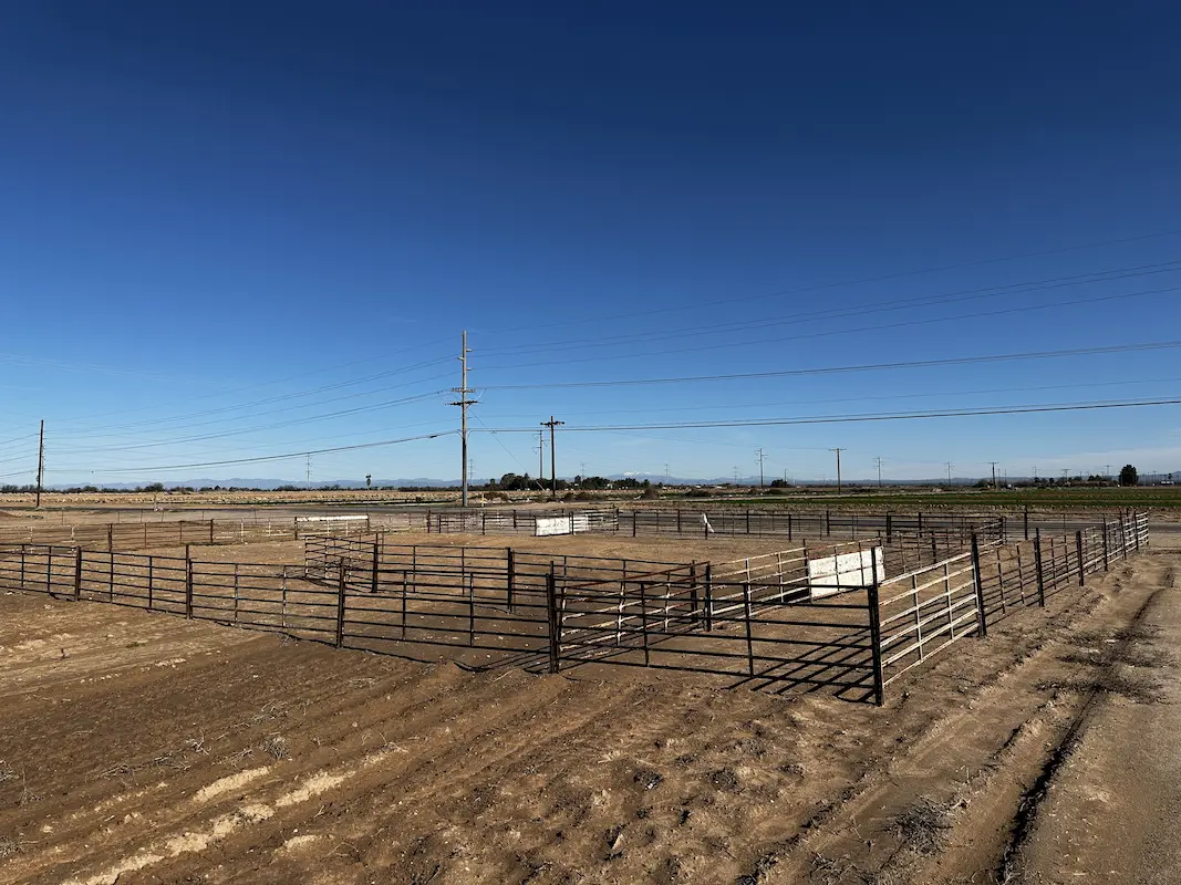

Casa Grande Substation
Casa Grande, AZ
Topographic survey and aerial imagery for approximately 60 acres to support access rights and design to a new substation. A full existing conditions map was produced including surface data, planimetrics and utilities. Additional survey support included preparing a legal description for the access easement and a boundary survey to mark the corners of the substation property.
Project Details
MARKET
Energy, Utilities
SERVICE
Boundary Surveying, Drone LiDAR and Aerial Imagery, Existing Conditions, Legal Descriptions, Topographic Surveying
LOCATION
Casa Grande, AZ