
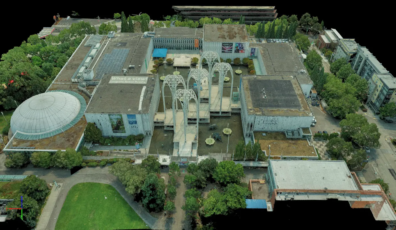

Pacific Science Center
Seattle, WA
S&F performed a rooftop survey and FAA 1-A accuracy certification to support telecommunications infrastructure planning at the Pacific Science Center. Services included preparation of FAA 1-A documentation, topographic mapping of the proposed cell-site area, and incorporation of aerial photography and photogrammetric reference imagery to verify rooftop geometry, positional accuracy, and installation clearances. The resulting survey-grade mapping supported aerial installation design and coordination.
(Project Details)
MARKET
Utility
SERVICE
Drone LiDAR and Aerial Imagery, Topographic Surveying
LOCATION
Seattle, Washington