
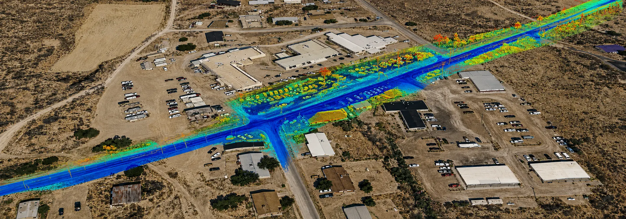

HIR Kykotsmovi 3 Mile Roadway Topo (FEATURED)
Kykotsmovi, AZ
4-miles of roadway on a 2 lane arterial roadway in Kykotsmovi, AZ on Hopi land. S&F utilized Mobile Mapping (vehicle mounted LiDAR and image sensors) to drive the alignment and collect dense point cloud data and imagery. The point cloud was controlled by survey control and Quality Assurance observations throughout the project. Field crews performed ground survey to collect right-of-way monumentation, pipe data within structures and other features obscuring the point cloud data collection. LiDAR and field data were combined into one file and a Civil 3D CAD base was prepared, including 3D linework, surface/DTM, and notes on site features. A complete topographic survey for design was furnished to the design team.
Project Details
MARKET
Transportation
SERVICE
Mobile Mapping, Topographic Surveying
LOCATION
Kykotsmovi, AZ