4345 University Way

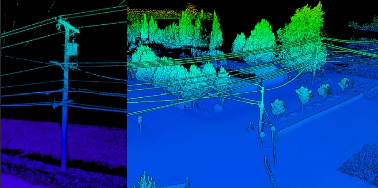
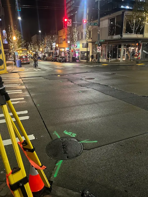
4345 University Way Seattle, WA S&F performed a comprehensive topographic survey, right-of-way resolution, utility coordination, and subsurface utility engineering (SUE) to support infrastructure planning at the intersection of NE 45th Street and University Way NE. The project, conducted under SDOT Permit SUUTIL0018847, required night work to minimize traffic disruption. S&F managed all aspects of field … Read more
405 & NE 4th Relocation

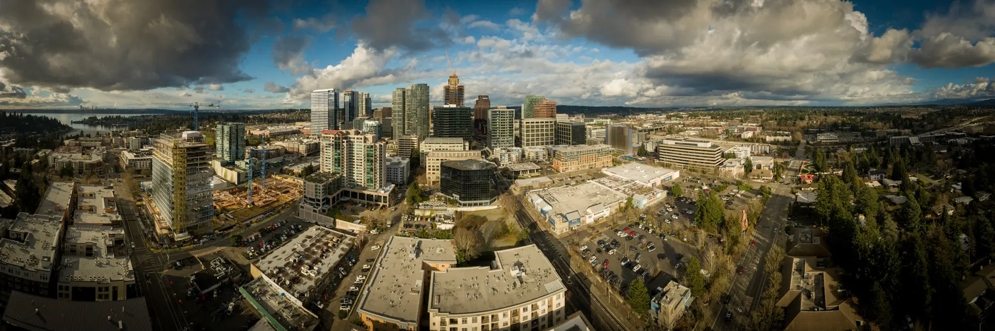
405 & NE 4th Relocation Bellevue, WA S&F conducted a site survey and FAA 1-A accuracy certification for a telecommunications relocation project near I-405 and NE 4th Street. Services included boundary and dimensional definition of the proposed cell-site area, contour and elevation mapping, identification of existing improvements and utilities, and preparation of NAD83-referenced deliverables to … Read more

Pacific Science Center

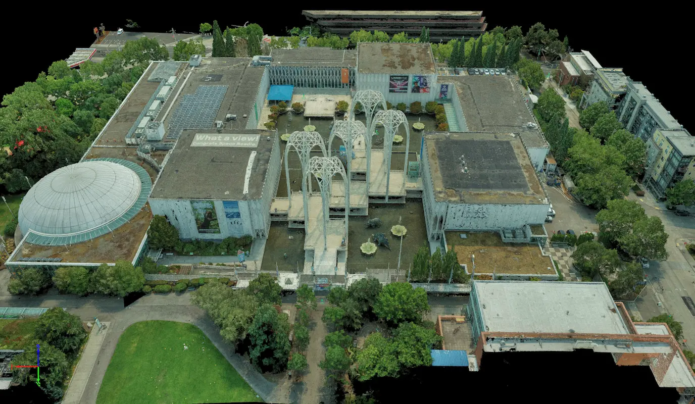
Pacific Science Center Seattle, WA S&F performed a rooftop survey and FAA 1-A accuracy certification to support telecommunications infrastructure planning at the Pacific Science Center. Services included preparation of FAA 1-A documentation, topographic mapping of the proposed cell-site area, and incorporation of aerial photography and photogrammetric reference imagery to verify rooftop geometry, positional accuracy, and … Read more

Union Bay Relocation

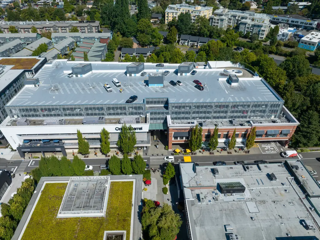
Union Bay Relocation Seattle, WA S&F completed a detailed site survey supporting installation of a new rooftop telecommunications facility at University Village in Seattle. The work included boundary definition, vertical relief mapping, and location of improvements and utilities coordinates, supported by aerial photography and rooftop imagery used to document existing conditions, evaluate siting constraints, and … Read more

San Juan Lateral Water Treatment Plant

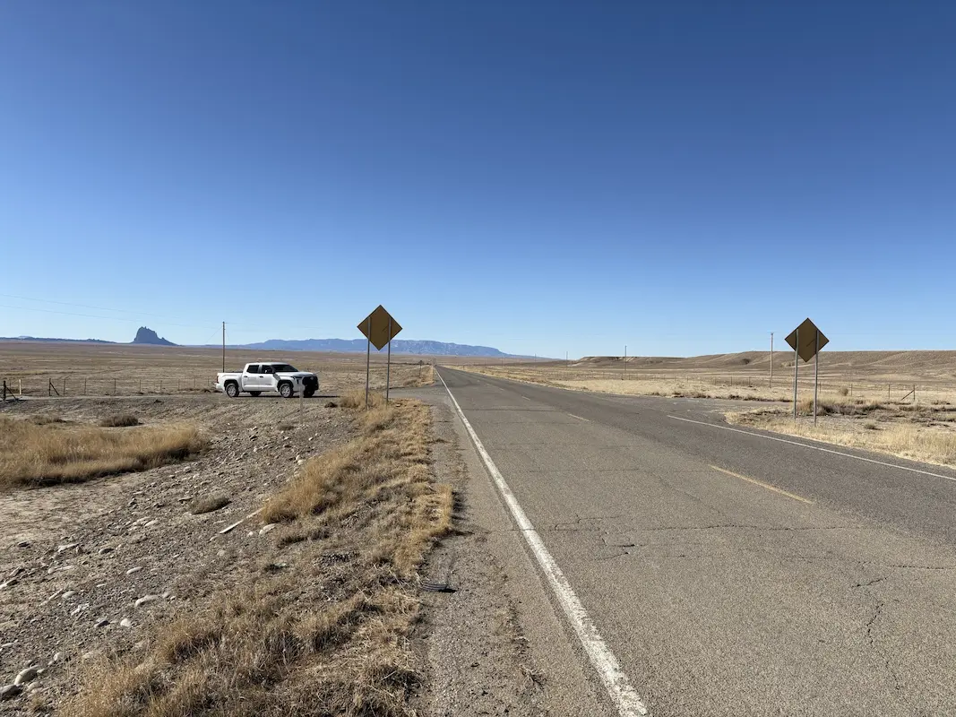
San Juan Lateral Water Treatment Plant Shiprock, NM A water treatment plant and waterline alignment are being constructed on NTUA lands. Initial survey support consisted of checking previous topographic survey data, and additional topographic survey of 16 acres, including a half mile of Navajo Highway 36. Our support continued through construction as the survey Quality … Read more

Casa Grande Substation

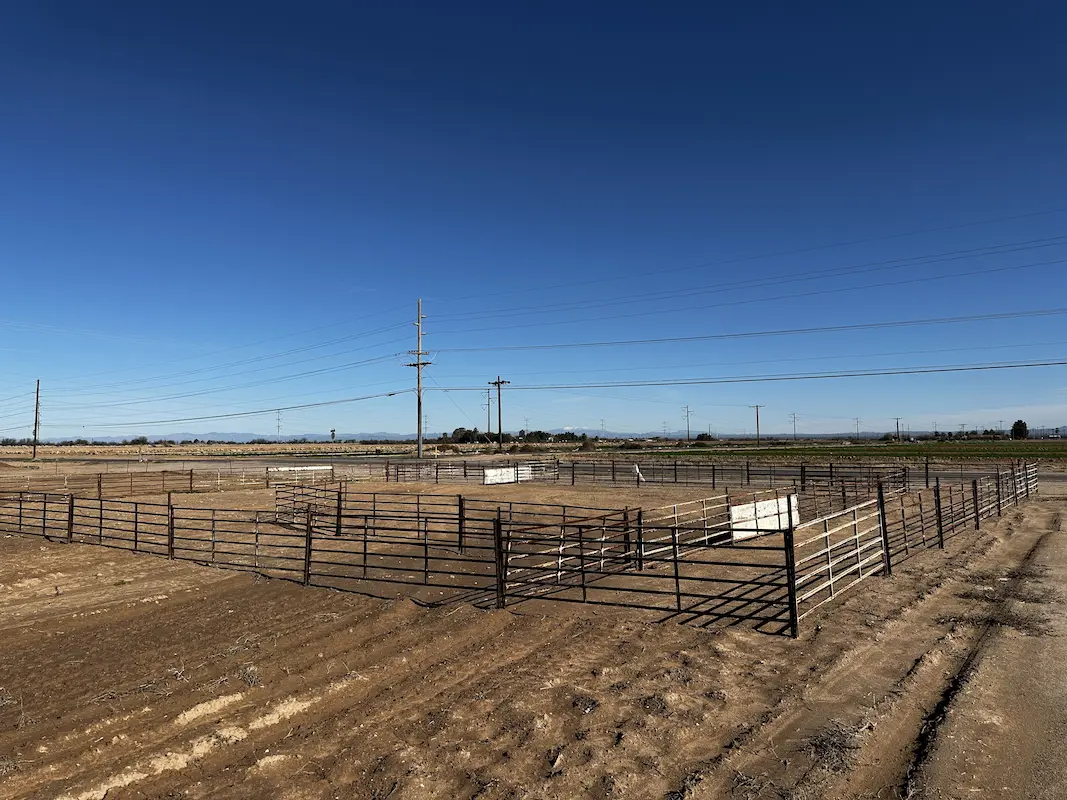
Casa Grande Substation Casa Grande, AZ Topographic survey and aerial imagery for approximately 60 acres to support access rights and design to a new substation. A full existing conditions map was produced including surface data, planimetrics and utilities. Additional survey support included preparing a legal description for the access easement and a boundary survey to … Read more

South Tri-Cities Transmission Line

South Tri-Cities Transmission Line Benton County, WA S&F is currently providing surveying and mapping support necessary to complete the design, acquire rights and permits to construct a transmission line. This project involved survey along the route for a new, 17-mile transmission line in Benton County, WA with large portions of the alignment in agricultural areas. … Read more

Toquerville Transmission

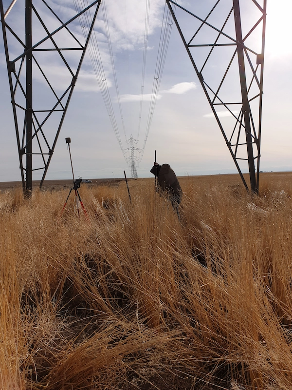
Toquerville Transmission Toquerville, UT (Completed 2026) S&F performed aerial mapping and ground-based survey for a transmission line corridor and future substation. The transmission line survey encompassed a 6-mile corridor and utilized aerial LiDAR to capture detailed terrain, utility, and transmission-line features. The resulting point cloud was classified in accordance with client coding, with required meteorological … Read more