
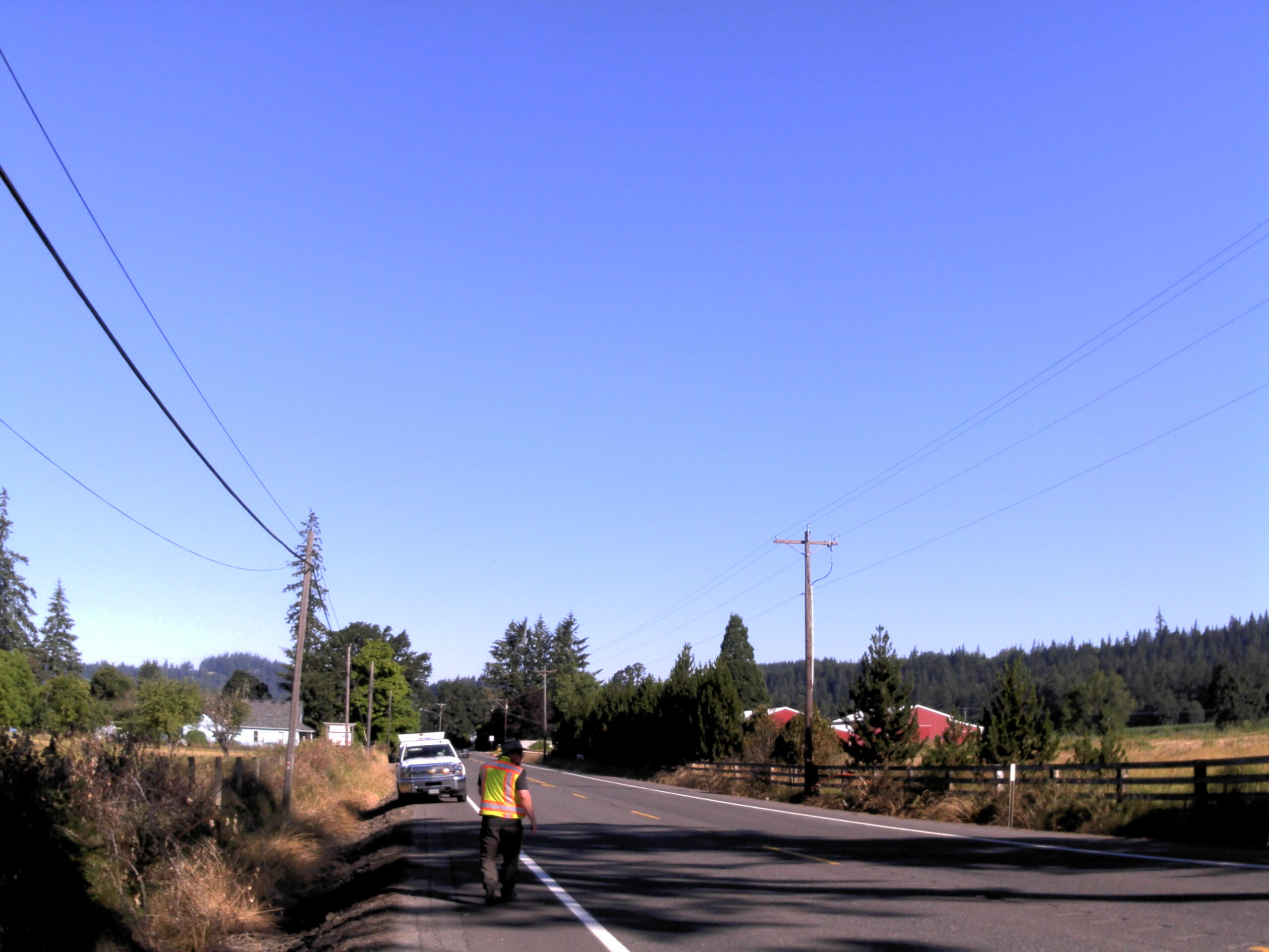
Amisigger Road
Clackamas County, OR
S&F completed a topographic survey of approximately 3,600 feet of Highway 224 and 1,600 feet of Amisigger Road, along with around 500 feet of creek limits, incorporating environmental consultants’ markings. The scope included retracing, resolving, and reestablishing 4,700 feet of right-of-way boundaries, creating a project centerline, right-of-way limits, and perpetuating monuments for a preconstruction roadway record of survey. This work was critical for future acquisitions and easements. Additionally, a value-added approach was employed by combining UAV mapping, roadway scanning, and conventional surveying groundwork. This integrated approach enabled comprehensive coverage of the survey limits and beyond, allowing for the incorporation of additional mapping features into the base files outside the originally scoped areas—eliminating the need for mobilizing additional trips to the site.
Project Details
MARKET
Transportation
SERVICE
Topographic Surveying, Right-of-Way Establishments, Records of Survey, Monument Preservation & Restoration, Drone LiDAR and Aerial Imagery, 3D Laser Scanning
LOCATION
Clackamas County, Oregon