
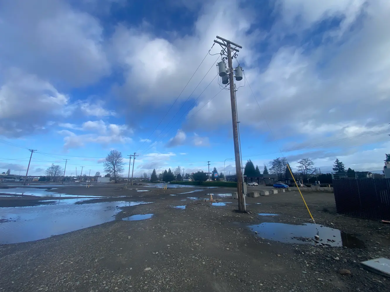
BNSF Auburn Yard
Auburn, WA
S&F provided surveying and mapping of the BNSF Auburn Yard IMF needed to design new infrastructure and IMF loading and parking. Survey of the 220 acre IMF included ground-based survey of all existing rail features and grade crossings as well as collecting low altitude high resolution aerial imagery with LiDAR point cloud data to generate planimetric features and 3D break lines for ground contouring. S&F also identified, located and mapped all above and below ground utilities and obstructions.
Project Details
MARKET
Transportation (rail)
SERVICE
Topographic Surveying, Drone LiDAR and Aerial Imagery, Existing Conditions
LOCATION
Auburn Washington