
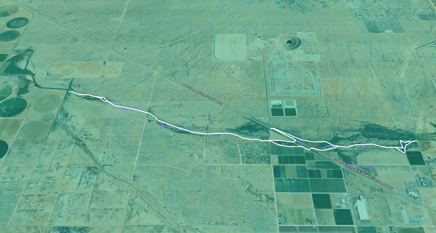

City of Casa Grande Monthly Drainage Mapping
Casa Grande, AZ
For over a year, S&F has been performing monthly mapping for 6 miles of drainage. The city is required to report to the Arizona Department of Water Resources. Using a virtual GPS network, our crews saved significant time in setup and remobilizations. A crew travels the drainage alignment through the desert on a UTV, collecting edge of water shots along notable changes in width of standing water. An area of standing water along the entire drainage is computed. Our deliverables include a certifying letter, shapefiles, and CAD linework.
Project Details
MARKET
Water & Environmental
SERVICE
GIS Support
LOCATION
Casa Grande, AZ