
North Water Transmission Line Intertie
Beaverton, OR
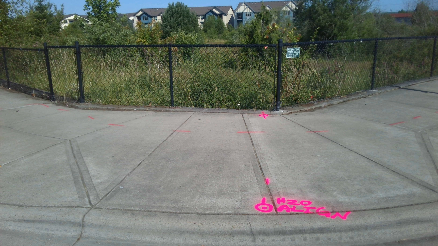
S&F was the survey subcontractor on The City of Beaverton NTLI Project, a 6.5-mile water line transmission intertie project. S&F provided topographic land surveying for 7 miles of roadway – and 11 drainage/waterway crossings (bridges and culverts). The scope consists of utility coordination, UAS-drone flight and photogrammetric mapping, and ground survey fill-in. 80% of surface features were mapped with UAS-drone, the rest were mapped with ground survey. Ground survey was used to measure and report pipe inverts within structures along the alignment, tie row monumentation and supplement topographic survey. The final product is a full topographic survey with surface, planimetrics and utilities (including inverts within all structures).
Project Details
MARKET
Utilities, Water and Environmental
SERVICE
Topographic Surveying, Drone LiDAR and Aerial Imagery, Monument Preservation & Restoration
LOCATION
Beaverton, Oregon