
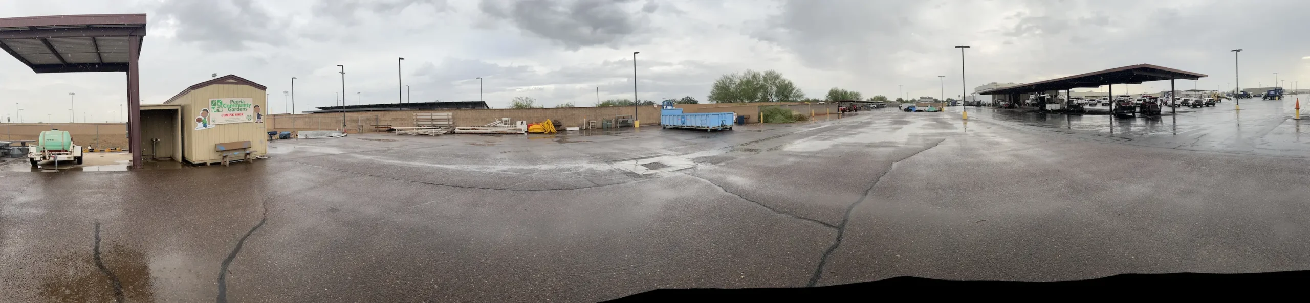

Peoria Municipal Operations Center
Peoria, AZ
ALTA Survey, Topographic Survey, underground utilities, boundary and easements for the City of Peoria’s Municipal Operations Center. This 20-acre site consisted of parking, buildings, staging, maintenance areas and adjacent roadways. A full topographic survey, including underground utilities, was provided. The entire site was flown with UAV/drone to produce a high-resolution, current-day image to overlay onto the CAD and mapping base files – in order to support mapping and provide additional perspective to the mapping base. S&F provided construction staking for the development of the site.
Project Details
MARKET
Municipal & Public Facilities
SERVICE
ALTA Surveys, Boundary Surveying, Construction Staking, Drone LiDAR and Aerial Imagery, Topographic Surveying
LOCATION
Peoria, AZ