
POV 2026 Utility Mapping
Vancouver, WA
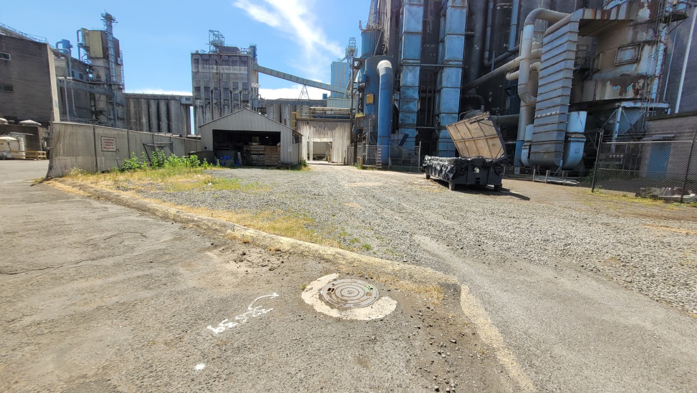
S&F conducted utility as-built mapping for Terminals 3 through Terminal 5, covering approximately 300 acres. They coordinated private utility locates, mapped existing structures, and facilitated the creation of an infrastructure baseline for future Terminal 5 clients. During the course of this mapping effort, the Port of Vancouver Berth 17 project was in full swing. S&F was dynamic while on site and was able to map most of the new construction of utilities during placement or shortly thereafter. This was a monumental task which involved coordination with Port staff to review multiple past Terminal 5 project design and as-built plans which were prepared over two decades in order to verify or recover utilities which had not been located in conjunction with any recent projects resulting in a thorough deliverable that can be shared with prospective clients. During the course of this mapping effort, high resolution, low altitude UAS imagery was collected over the entire project area for creation of an orthorectified image as well as a 3D interactive terrain model of the Terminal which allows the viewer to fly over, rotate, twist and turnaround features within the terminal.
Project Details
MARKET
Utilities, Transportation
SERVICE
As-Built Surveys, Existing Conditions, Drone LiDAR and Aerial Imagery, GIS Support
LOCATION
Vancouver, Washington