
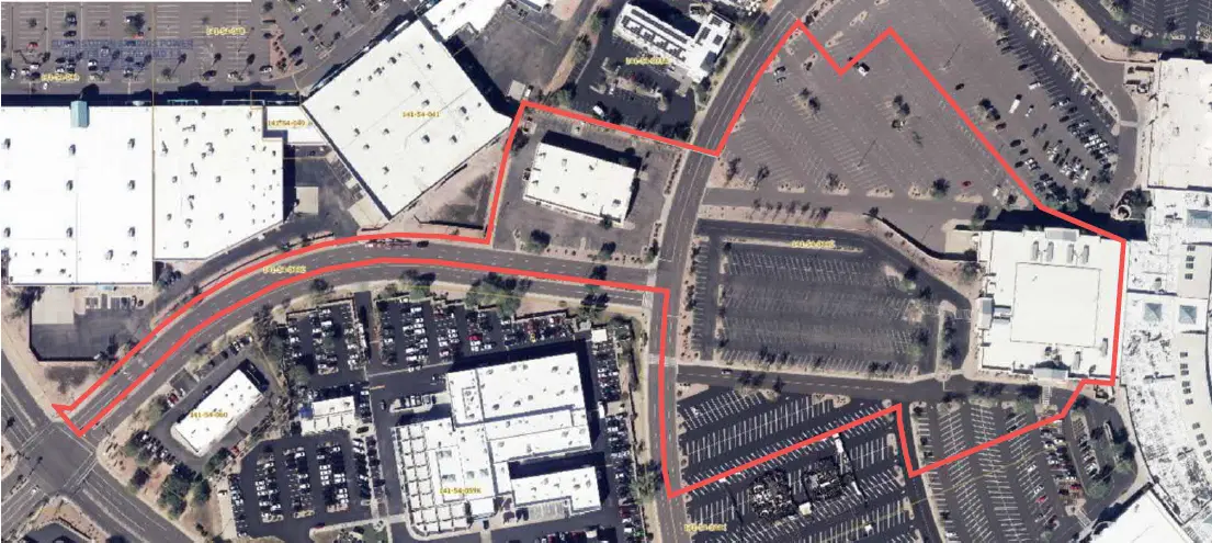

Superstition Springs Center Redevelopment
Mesa, AZ
S&F performed an ALTA/NSPS Land Title Survey for a 13-acre parcel within the Superstition Springs Center under an expedited one-week timeline. The team conducted a boundary survey and mapped planimetric features using drone-based imagery to produce an orthorectified image of the site. Field crews supplemented the aerial data by collecting critical ground features such as building corners, boundary monuments, and vegetation-obscured elements to ensure a complete and accurate deliverable.
Project Details
MARKET
Commercial
SERVICE
ALTA Surveys, Boundary Surveying, Drone LiDAR and Aerial Imagery
LOCATION
Mesa, AZ