
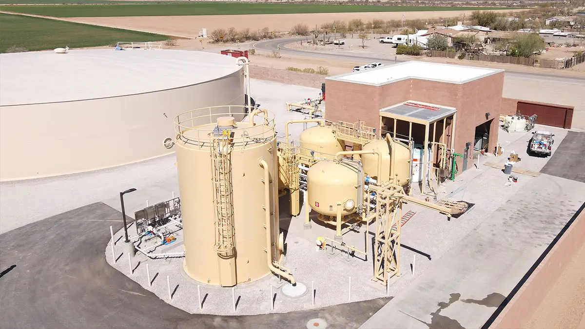

Town of Marana Heritage Park Water Treatment
Marana, AZ
A full topographic and boundary survey to support the design of centralized water treatment at Heritage Park in Marana, AZ. A combination of UAV/drone mapping and ground survey techniques are used to collect data for 14 acres of the park and nearby existing facility, along with nearly 2-miles of pipe alignment crossing private properties, right-of-way and public park. The final deliverable includes a full topographic survey base map in Civil 3D (planimetrics, break lines, surface/DTM,site features), right-of-way and boundary lines, and a high-resolution aerial image to overlay the entire project.
Project Details
MARKET
Parks & Recreation, Water & Environmental
SERVICE
Boundary Surveying, Drone LiDAR and Aerial Imagery, Topographic Surveying
LOCATION
Marana, AZ