Port of Longview Waterfront Ownership

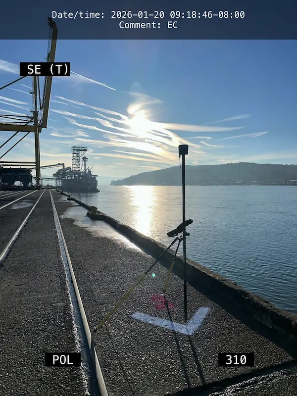
Port of Longview Waterfront Ownership Longview, WA S&F is currently working on a multi-phased project, initially involving deed review and boundary calculations for the Port of Longview’s Berth 1 through Berth 9 ownership for proposed modifications to the Federal Navigation Channel fronting the Port of Longview. This work involves working off of existing PMA survey … Read more
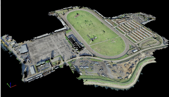
Portland Meadows

Portland Meadows Portland, OR S&F performed two plats, totaling 120 acres, through the City of Portland’s unique “Lot Validation” process. The final plats included preparing legal descriptions of the very complicated boundary resolution of historic properties bound by canals, slough, roadways and historic deeds of large scale. All of the properties involved were affected by … Read more

Sunset Village

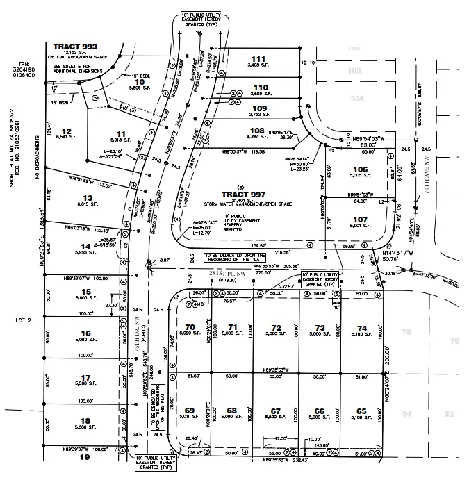
Sunset Village Gresham, OR S&F performed the survey support for the multi-phase, 300+ lot subdivision in Gresham, OR. Support includes preliminary platting, final platting, installation of monumentation, legal descriptions for easements and tracts, Topographic and Boundary survey, and ALTA Surveys. Off-site topographic survey for utility connections was performed along multiple routes. Project Details MARKETResidential SERVICEShort … Read more

Port of Chehalis Bishop Road

Port of Chehalis Bishop Road Chehalis, Washington This project for the Port of Chehalis comprised of an existing conditions andboundary retracement survey. We recovered boundary monuments, ordered publicutility locates, and did a complete survey of the site topography. Publicly availableas-built plans were used in conjunction with maps from utility locators to reconstructthe utility layout, and … Read more

Supersonic Everett

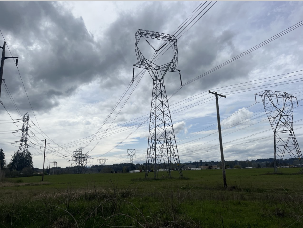
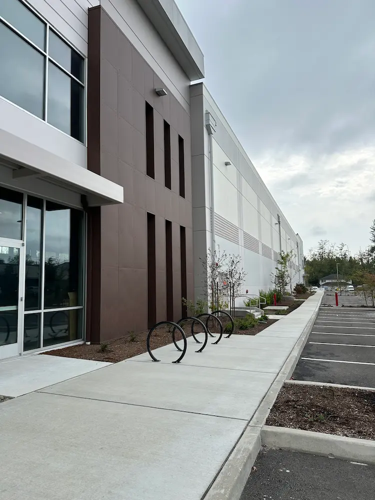
Supersonic Everett Snohomish County, WA We provided boundary and topographic surveying services to support the design and development of a commercial building in Snohomish County, Washington. Initial work included locating nearby boundary monuments, mapping existing site conditions, and identifying potential boundary encroachments. These surveys established the base mapping needed for site planning and design. Following … Read more

Four Corners Apartments

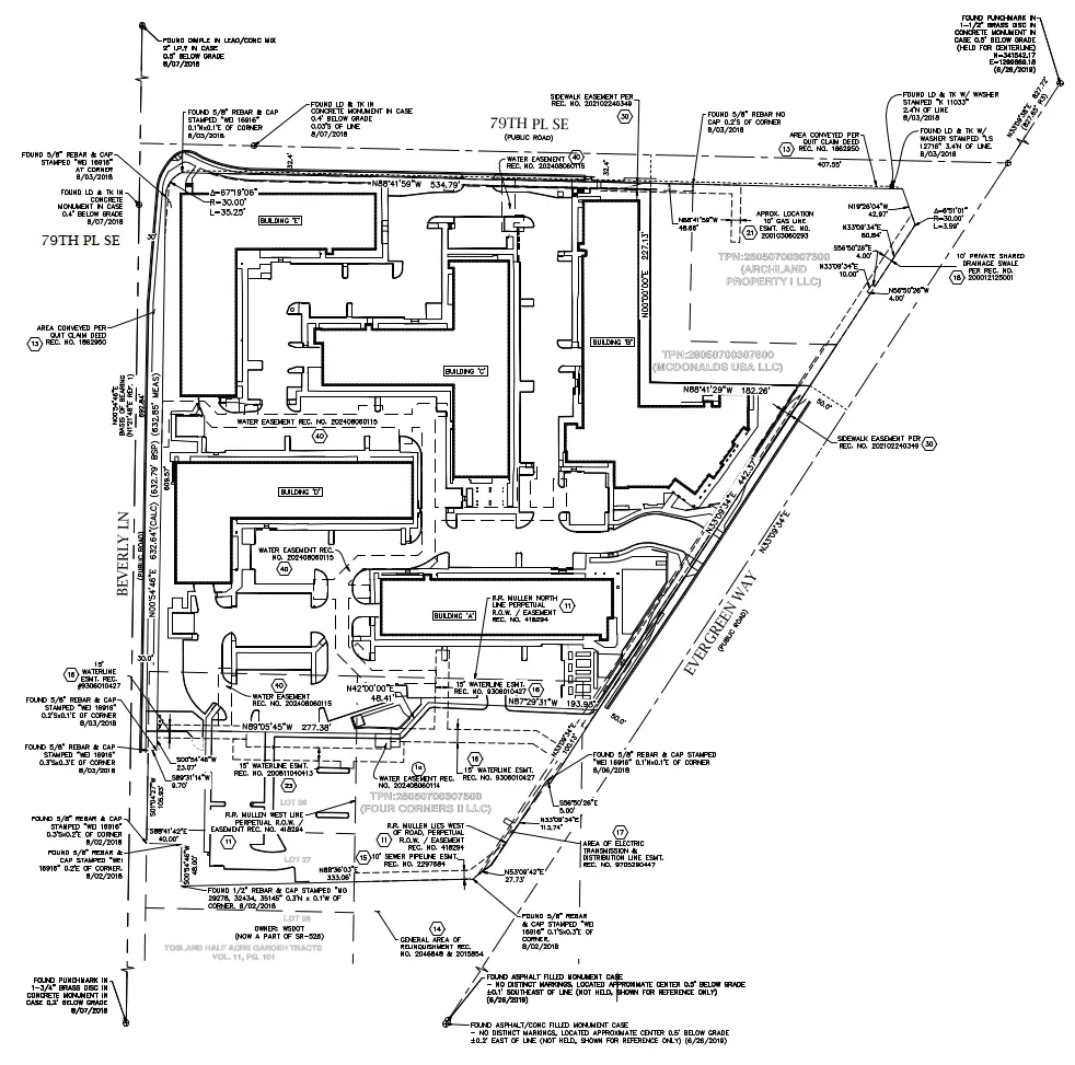
Four Corners Apartments Everett, WA For this multifamily development in Everett, Washington, our team supported design, construction, and ongoing property needs with a full range of surveying services. A boundary and topographic survey established property limits and mapped existing site features, providing the foundation for project design. As the development moved into construction, we provided … Read more

Bakerview Phase 2

Bakerview Phase 2 Stanwood, WA Our team provided surveying services for a two-phase, 300-lot single-family residential development in Stanwood, Washington, supporting the project from initial design through construction and final plat recording. Services began with boundary and topographic surveys to establish existing conditions and provide the base mapping for site design. During construction, our team … Read more

272nd Waterline

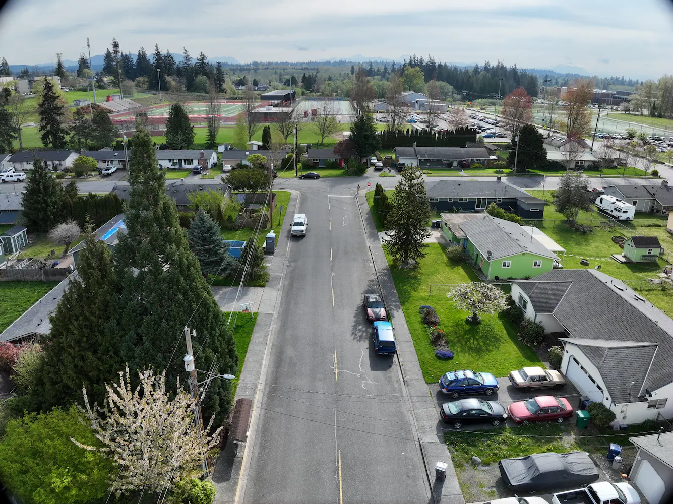
272nd Waterline Snohomish County, WA S&F prepared design-level base mapping covering the full width of the right-of-way along approximately one-half mile of 272nd Street NW and 76th Drive NW, extending past the curb returns on the abutting street at 273rd, in support of asbestos-cement waterline replacement. Survey control was established and rights-of-way and roadway centerlines … Read more

SR 542 Roundabout Design

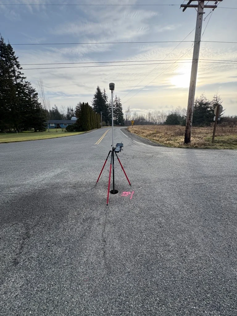
SR 542 Roundabout Design Deming, WA S&F supported the design of a new roundabout near the intersection of Deming Road and State Route 542 by delivering high-precision survey data critical to planning and right-of-way evaluation. The project area, located approximately 500feet northwest of the intersection, required careful coordination due to complex property boundaries and traffic … Read more

Gulf Road Project

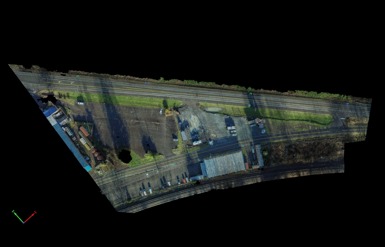
Gulf Road Project Ferndale, WA S&F provided topographic surveying and construction as-built services for a 2.3-mile rail corridor and intermodal yard replacement project for BNSF. The scope included verifying and supplementing existing survey control, collecting topographic data, and measuring track ties to support the design of new track alignments. S&F also performed boundary computations and … Read more