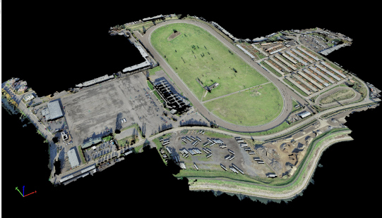
Portland Meadows

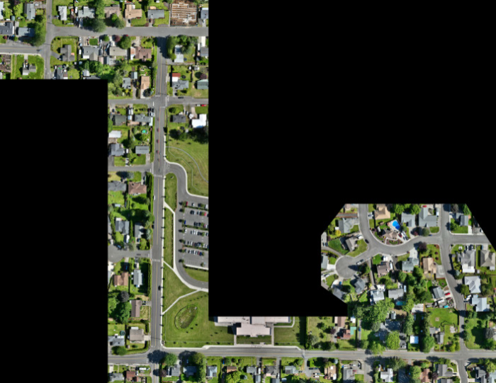
Portland Meadows Portland, OR S&F performed two plats, totaling 120 acres, through the City of Portland’s unique “Lot Validation” process. The final plats included preparing legal descriptions of the very complicated boundary resolution of historic properties bound by canals, slough, roadways and historic deeds of large scale. All of the properties involved were affected by … Read more
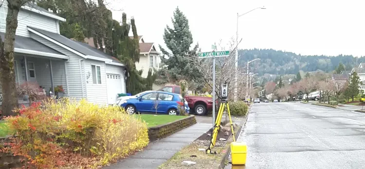
Sunset Village

Sunset Village Gresham, OR S&F performed the survey support for the multi-phase, 300+ lot subdivision in Gresham, OR. Support includes preliminary platting, final platting, installation of monumentation, legal descriptions for easements and tracts, Topographic and Boundary survey, and ALTA Surveys. Off-site topographic survey for utility connections was performed along multiple routes. Project Details MARKETResidential SERVICEShort … Read more

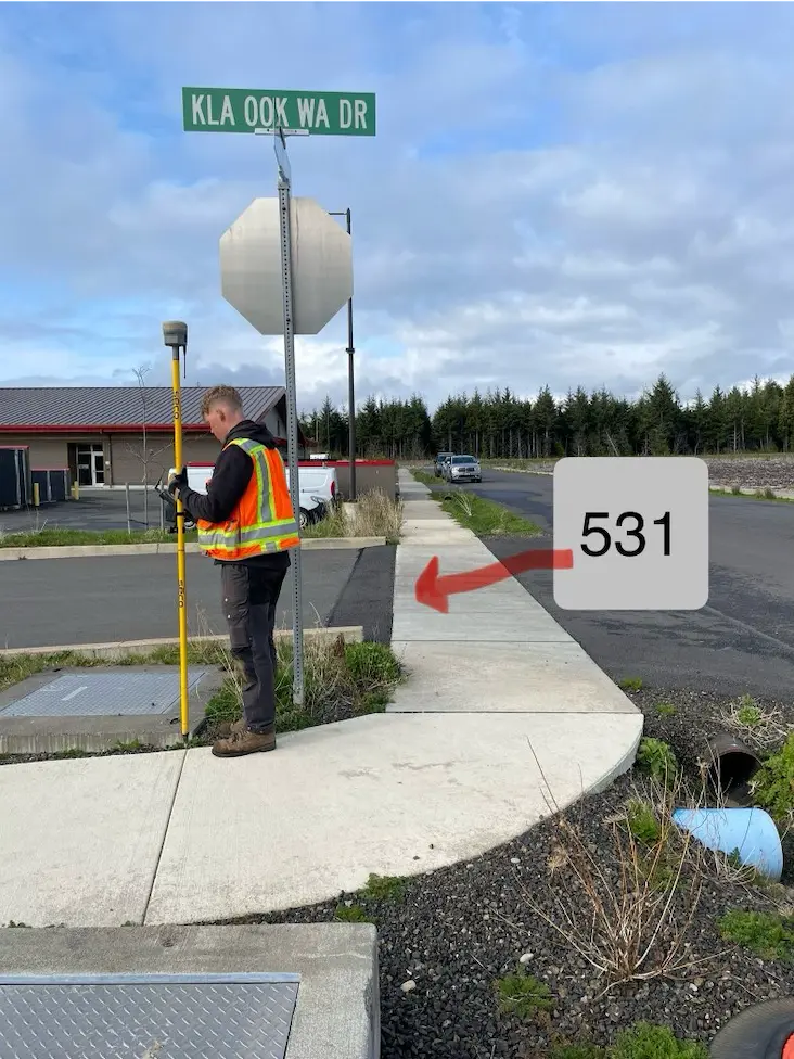
NE Neighborhood

NE Neighborhood Quinault Indian Nation, WA As part of the Quinault Indian Nation’s NE Neighborhood development, S&F provided monumentation services and plat updates to support final subdivision recording. Survey crews set marked monuments at all designated interior and exterior lot corners, tract boundaries, rights-of-way, and centerline points in accordance with the approved Plat of the … Read more

Truman Elementary

Truman Elementary Clark County, WA S&F was selected by Clark County to perform surveying and mapping, supporting their design of a sidewalk and access improvement project. The scope consists of topographic surveying, aerial/drone mapping, right-of-way resolution, underground utility investigation, monument preservation and legal descriptions. The project is approximately 3/4 mile long. Project Details MARKETEducation, Transportation … Read more

IHS Realty Sites – Whiteriver, Cibecue, Supai, Owyhee, Moapa, FortMcDermitt

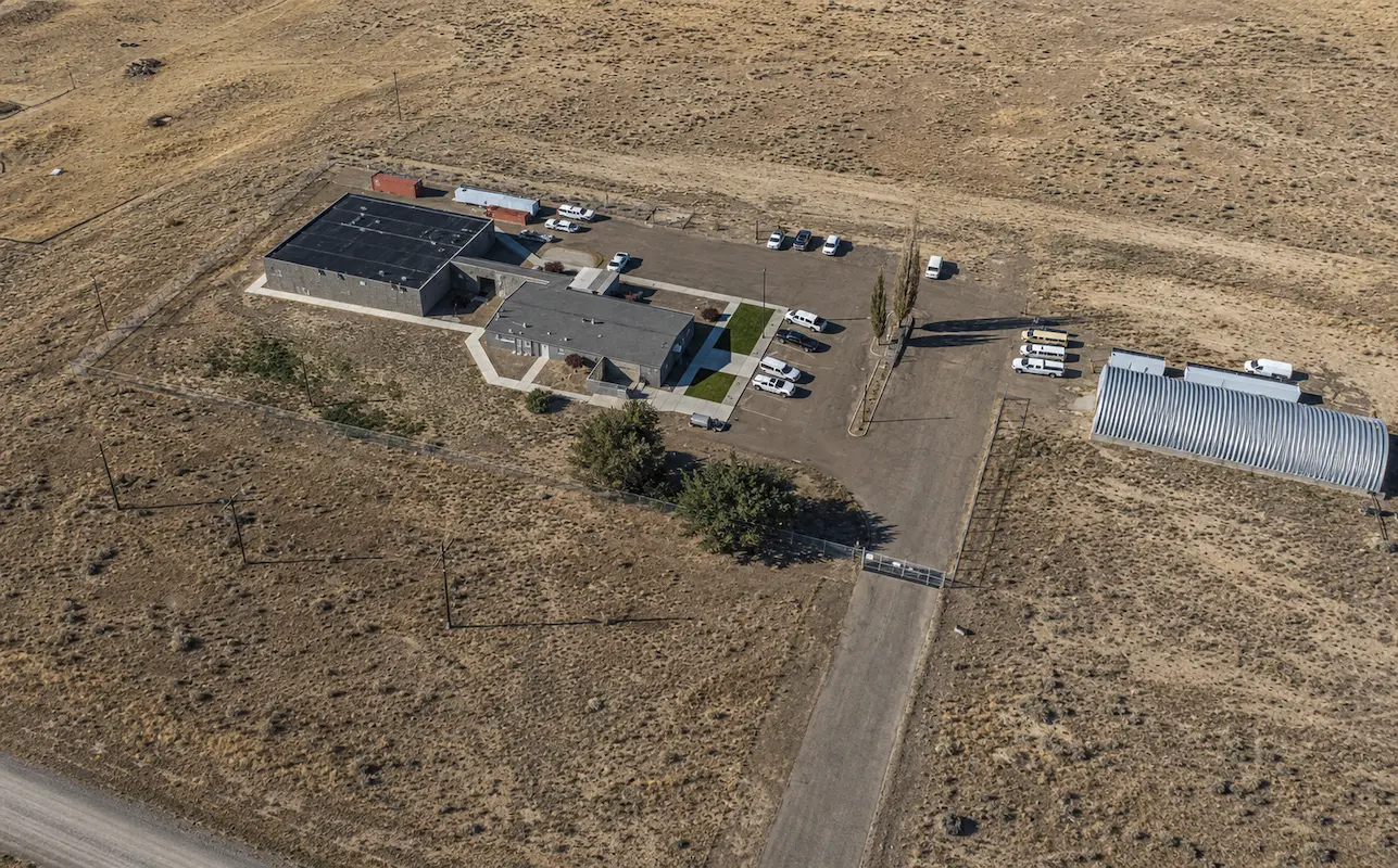
IHS Realty Sites – Whiteriver, Cibecue, Supai, Owyhee, Moapa, FortMcDermitt Arizona & Nevada (ProjeS&F provided comprehensive boundary and lease survey services for six Indian Health Service (IHS) realty sites across Arizona and Nevada, supporting critical healthcare facilities in Whiteriver, Cibecue, and Supai, Arizona, and Owyhee, Moapa, and Fort McDermitt, Nevada. The project included detailed records … Read more

Casa Grande Substation

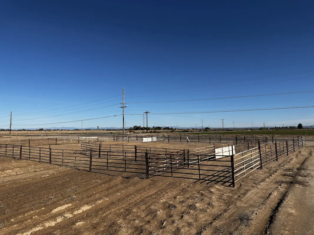
Casa Grande Substation Casa Grande, AZ Topographic survey and aerial imagery for approximately 60 acres to support access rights and design to a new substation. A full existing conditions map was produced including surface data, planimetrics and utilities. Additional survey support included preparing a legal description for the access easement and a boundary survey to … Read more

Farwest Casino

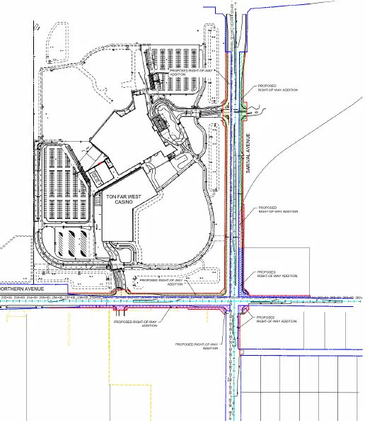
Farwest Casino Maricopa County, AZ ALTA and Topographic survey of the 100+ acre property. Extensive adjacentroadway topographic, underground utility and right-of-way survey was alsoincluded. S&F prepared multiple legal descriptions for right-of-way dedications,construction easements, and utility agreements. Project Details MARKETCommecial SERVICEALTA Surveys, Legal Description, Right-of-Way Establishments, Topographic Surveying LOCATIONMaricopa County, AZ

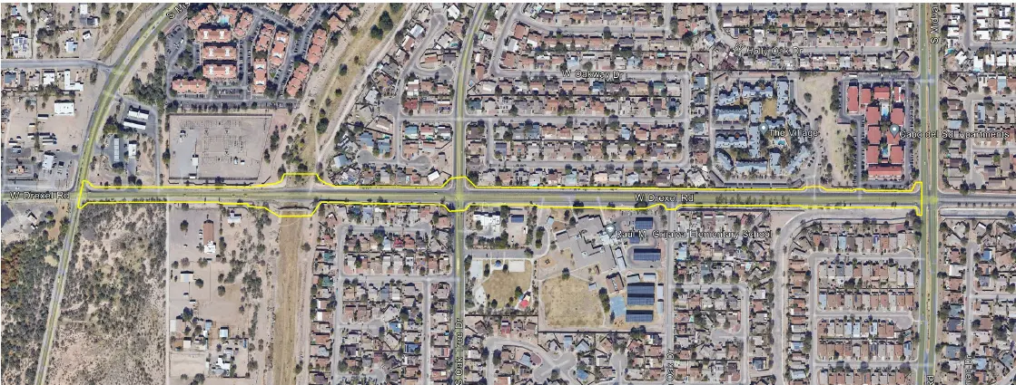
W Drexel Road

West Drexel Road Tucson, AZ S&F provided comprehensive surveying services for the W. Drexel Road corridor improvement to support transportation planning and design efforts for a key urban roadway. The work included a detailed topographic survey along the project alignment, capturing surface features, improvements, and above-ground utilities, supplemented by UAV/drone-based aerial imagery to produce a … Read more