
Town of Index Watermain Replacement

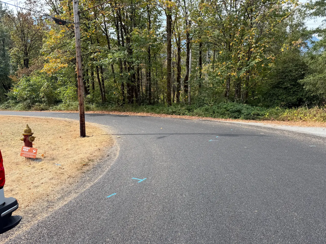
Town of Index Watermain Replacement Index, WA S&F prepared design-level base mapping covering the full width of the right-of-way along approximately 1,100 feet of Index Avenue, together with 2nd Street and 7th, and a 900-foot section of Old Gold Bar-Index Road in support of asbestos-cement waterline replacement. Survey control, rights-of-way, roadway centerlines, and the BNSF/NPRR … Read more
Kyrene Road 2-Mile Topo

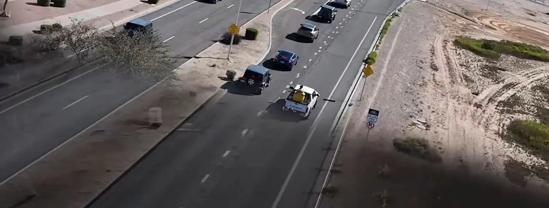
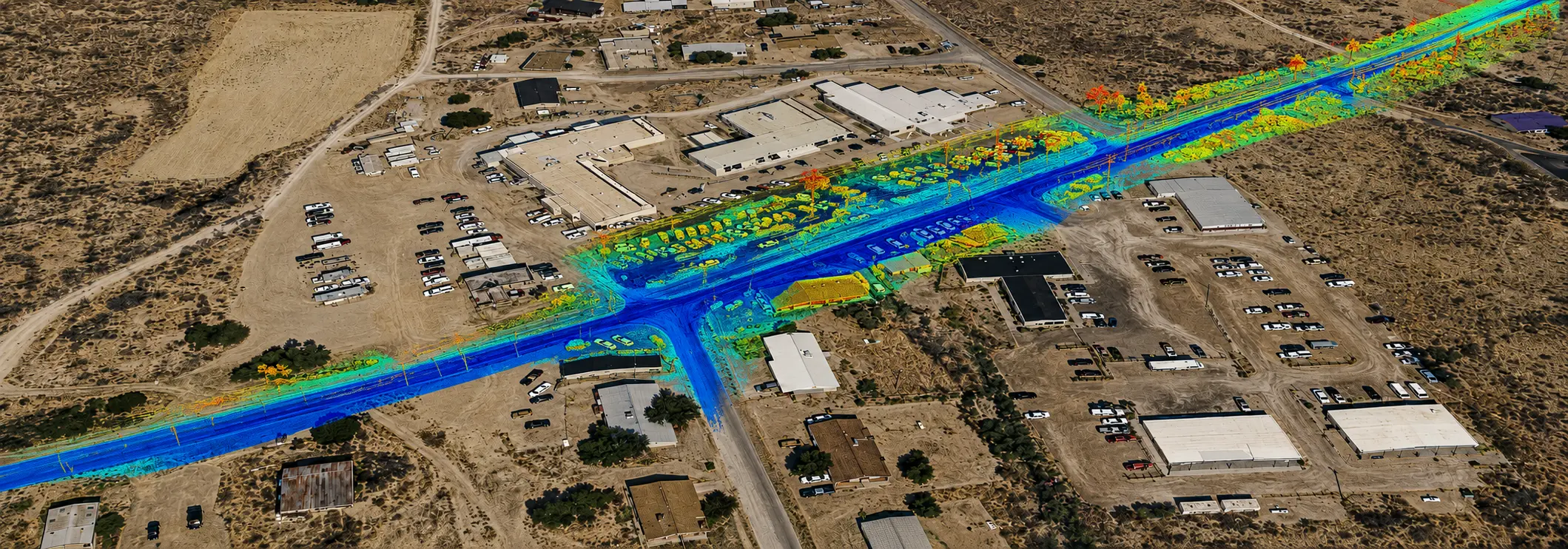
Kyrene Road 2-Mile Topo Chandler, AZ 2-miles of roadway on a 4-5 lane arterial roadway in Chandler, AZ. S&F utilized Mobile Mapping (vehicle mounted LiDAR and image sensors) to drive the alignment and collect dense point cloud data and imagery. The point cloud was controlled by survey control and Quality Assurance observations throughout the project. … Read more

HIR Kykotsmovi

HIR Kykotsmovi 3 Mile Roadway Topo (FEATURED) Kykotsmovi, AZ 4-miles of roadway on a 2 lane arterial roadway in Kykotsmovi, AZ on Hopi land. S&F utilized Mobile Mapping (vehicle mounted LiDAR and image sensors) to drive the alignment and collect dense point cloud data and imagery. The point cloud was controlled by survey control and … Read more