Portland Meadows

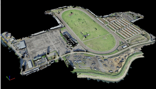
Portland Meadows Portland, OR S&F performed two plats, totaling 120 acres, through the City of Portland’s unique “Lot Validation” process. The final plats included preparing legal descriptions of the very complicated boundary resolution of historic properties bound by canals, slough, roadways and historic deeds of large scale. All of the properties involved were affected by … Read more
Port of Chehalis Bishop Road

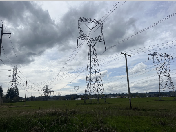
Port of Chehalis Bishop Road Chehalis, Washington This project for the Port of Chehalis comprised of an existing conditions andboundary retracement survey. We recovered boundary monuments, ordered publicutility locates, and did a complete survey of the site topography. Publicly availableas-built plans were used in conjunction with maps from utility locators to reconstructthe utility layout, and … Read more

Supersonic Everett

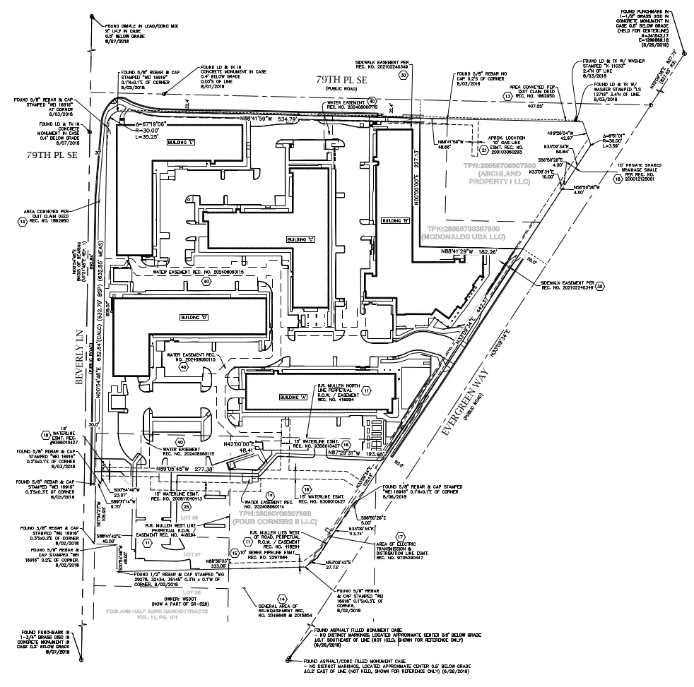
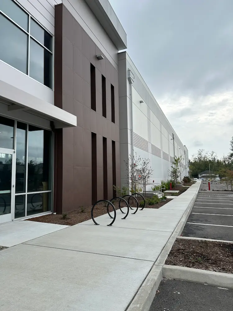
Supersonic Everett Snohomish County, WA We provided boundary and topographic surveying services to support the design and development of a commercial building in Snohomish County, Washington. Initial work included locating nearby boundary monuments, mapping existing site conditions, and identifying potential boundary encroachments. These surveys established the base mapping needed for site planning and design. Following … Read more

Four Corners Apartments

Four Corners Apartments Everett, WA For this multifamily development in Everett, Washington, our team supported design, construction, and ongoing property needs with a full range of surveying services. A boundary and topographic survey established property limits and mapped existing site features, providing the foundation for project design. As the development moved into construction, we provided … Read more

SSA Tacoma Terminal

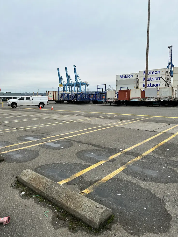
SSA Tacoma Terminal Tacoma, WA Utilizing TWIC certified staff, S&F completed full topographic and utility surveys for ~50 proposed light pole locations. S&F coordinated private utility locates, as well as access schedule with the client and Port to ensure timely deliverables used for final civil design of the proposed infrastructure. Project Details MARKETCommercial, Transportation SERVICEExisting … Read more

Zidell Yards

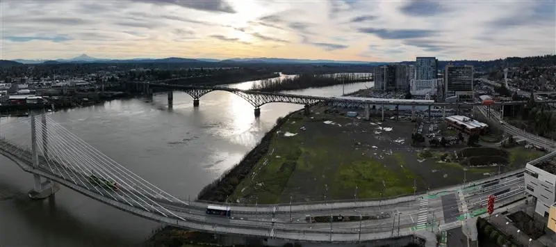
Zidell Yards Portland, OR S&F completed a comprehensive ALTA Survey for the 32-acre Zidell Yards property along Portland’s waterfront, a site currently being evaluated for a future MLB ballpark. Our team provided design-level topographic mapping, underground utility investigation, boundary resolution, and easement documentation to support early planning and feasibility. By delivering accurate, high-quality data at … Read more

Union Bay Relocation

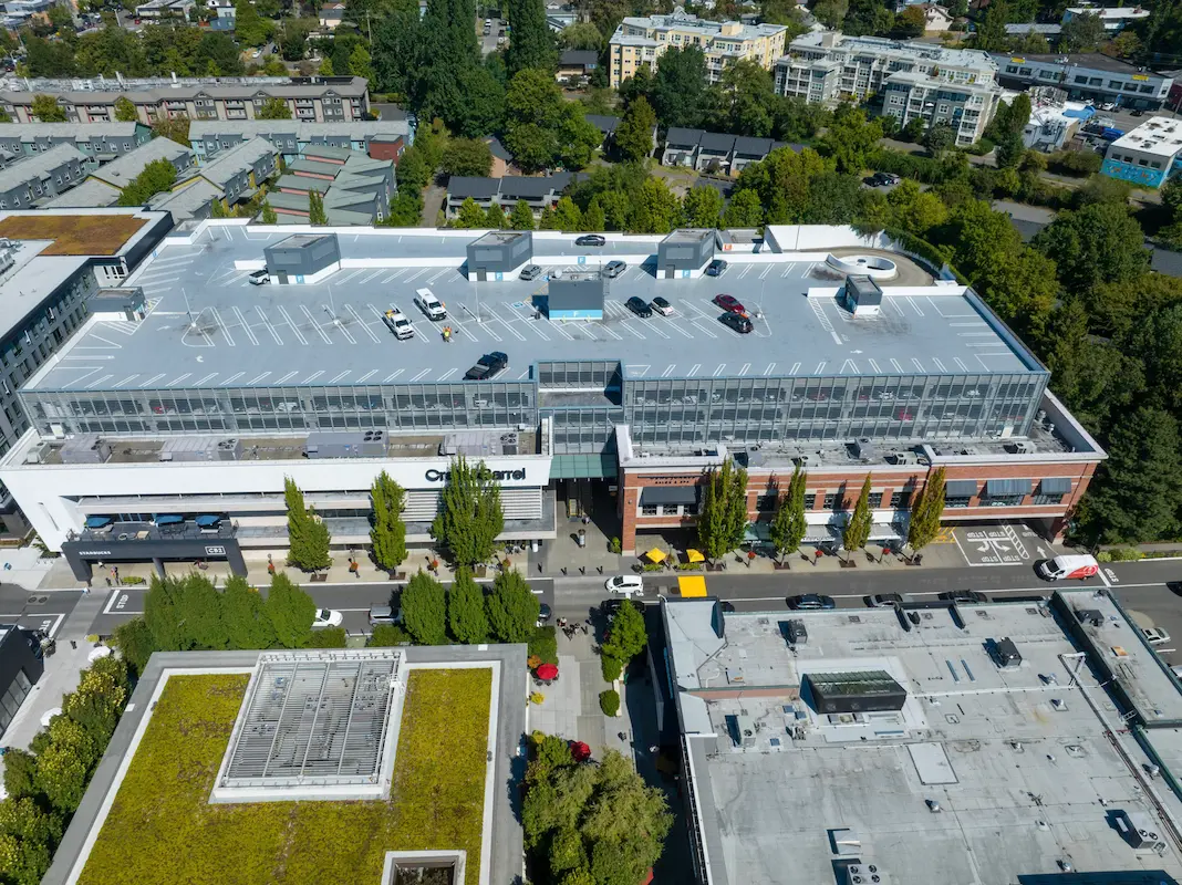
Union Bay Relocation Seattle, WA S&F completed a detailed site survey supporting installation of a new rooftop telecommunications facility at University Village in Seattle. The work included boundary definition, vertical relief mapping, and location of improvements and utilities coordinates, supported by aerial photography and rooftop imagery used to document existing conditions, evaluate siting constraints, and … Read more

T-Mobile Park Terrestrial Scanning

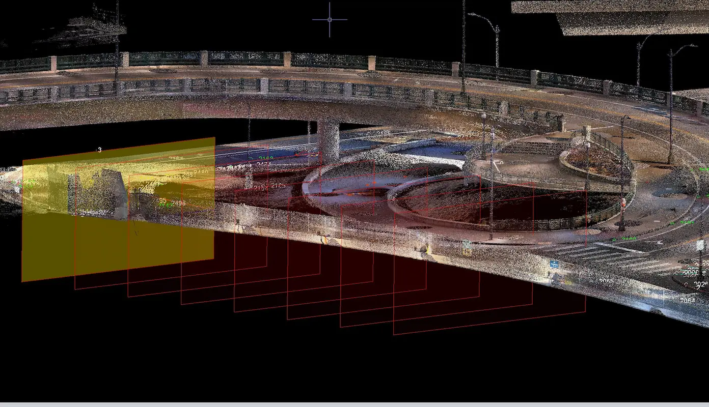
T-Mobile Park Terrestrial Scanning Seattle, WA S&F performed terrestrial laser scanning and topographic surveying to support design around T-Mobile Park and adjacent roadway and pedestrian infrastructure in Seattle. Services included establishing survey control, coordinating utility locates, collecting high-resolution scan data, and delivering a registered point cloud, design-level topographic mapping, and signed existing-conditions plans to support … Read more

Superstition Springs Center Redevelopment

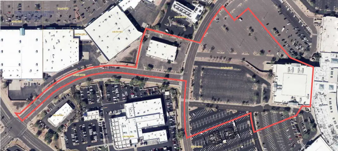
Superstition Springs Center Redevelopment Mesa, AZ S&F performed an ALTA/NSPS Land Title Survey for a 13-acre parcel within the Superstition Springs Center under an expedited one-week timeline. The team conducted a boundary survey and mapped planimetric features using drone-based imagery to produce an orthorectified image of the site. Field crews supplemented the aerial data by … Read more

U-Haul Tucson

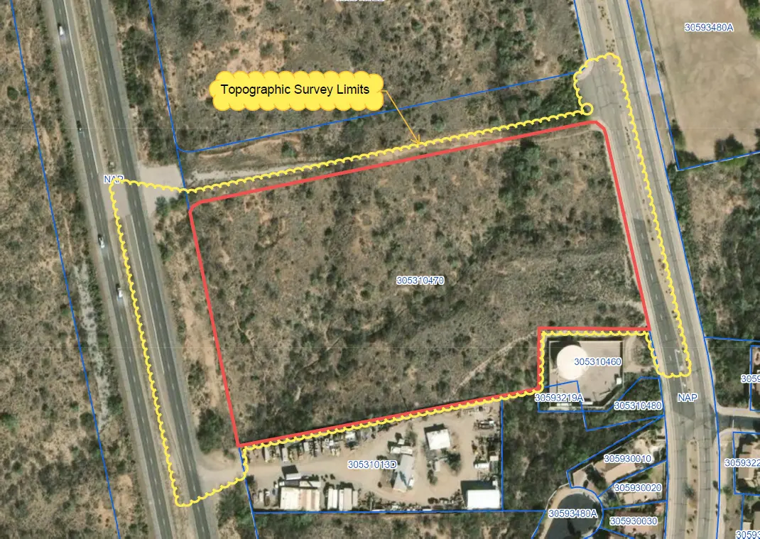
U-Haul Tucson Tucson, AZ 11 acre ALTA survey and full topographic survey for design purposes to support the design of a new U-Haul facility in North Tucson. The site consisted of a wash running through the middle of the property. UAV/drone mapping was used to create a dense point cloud of the surface – creating … Read more