
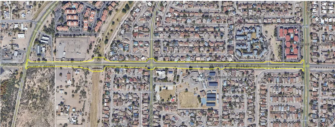
W Drexel Road

West Drexel Road Tucson, AZ S&F provided comprehensive surveying services for the W. Drexel Road corridor improvement to support transportation planning and design efforts for a key urban roadway. The work included a detailed topographic survey along the project alignment, capturing surface features, improvements, and above-ground utilities, supplemented by UAV/drone-based aerial imagery to produce a … Read more
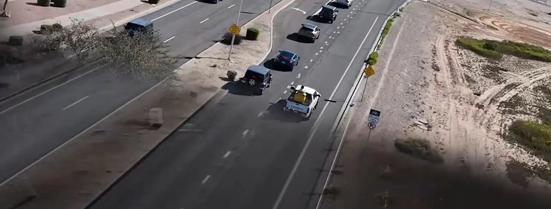
Kyrene Road 2-Mile Topo

Kyrene Road 2-Mile Topo Chandler, AZ 2-miles of roadway on a 4-5 lane arterial roadway in Chandler, AZ. S&F utilized Mobile Mapping (vehicle mounted LiDAR and image sensors) to drive the alignment and collect dense point cloud data and imagery. The point cloud was controlled by survey control and Quality Assurance observations throughout the project. … Read more

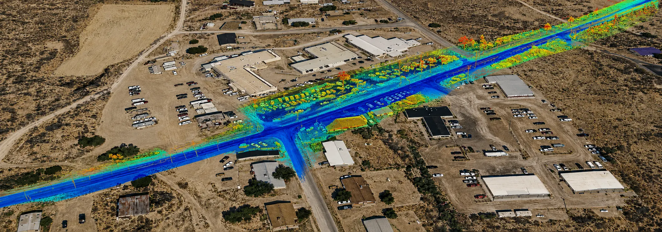
HIR Kykotsmovi

HIR Kykotsmovi 3 Mile Roadway Topo (FEATURED) Kykotsmovi, AZ 4-miles of roadway on a 2 lane arterial roadway in Kykotsmovi, AZ on Hopi land. S&F utilized Mobile Mapping (vehicle mounted LiDAR and image sensors) to drive the alignment and collect dense point cloud data and imagery. The point cloud was controlled by survey control and … Read more