Port of Longview Waterfront Ownership

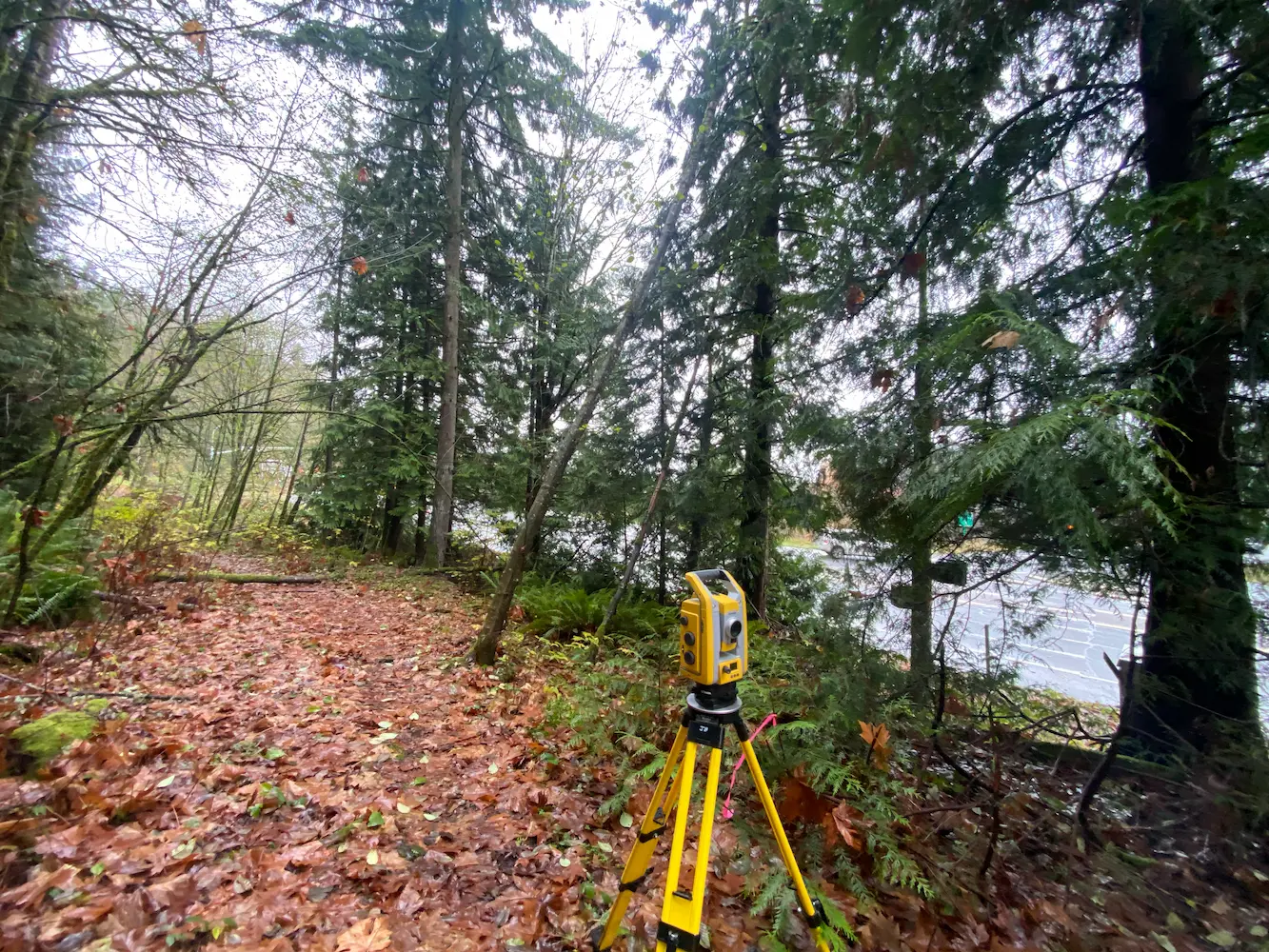
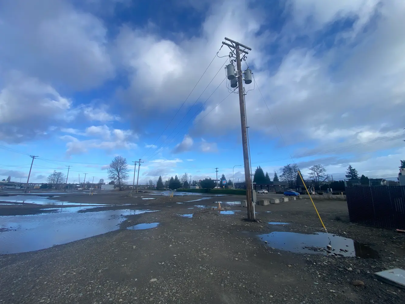
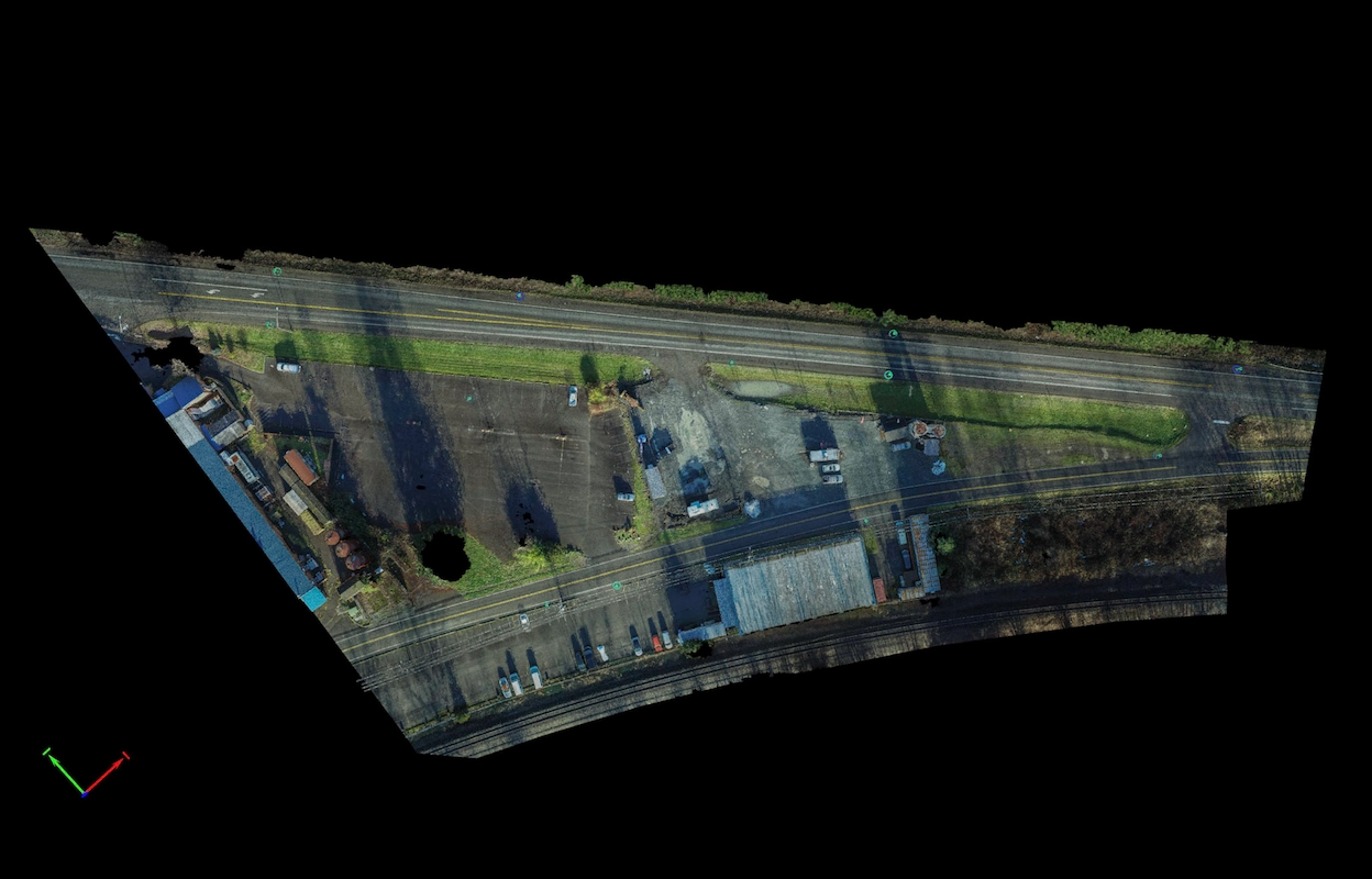
Port of Longview Waterfront Ownership Longview, WA S&F is currently working on a multi-phased project, initially involving deed review and boundary calculations for the Port of Longview’s Berth 1 through Berth 9 ownership for proposed modifications to the Federal Navigation Channel fronting the Port of Longview. This work involves working off of existing PMA survey … Read more
POV 2026 Utility Mapping

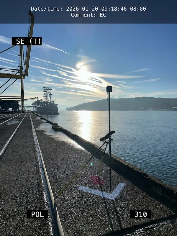
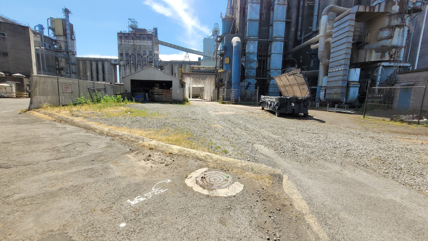
POV 2026 Utility Mapping Vancouver, WA S&F conducted utility as-built mapping for Terminals 3 through Terminal 5, covering approximately 300 acres. They coordinated private utility locates, mapped existing structures, and facilitated the creation of an infrastructure baseline for future Terminal 5 clients. During the course of this mapping effort, the Port of Vancouver Berth 17 … Read more

Truman Elementary

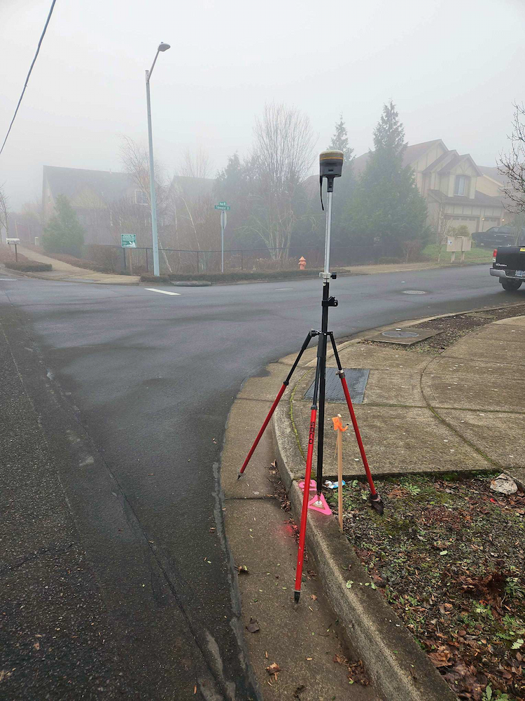
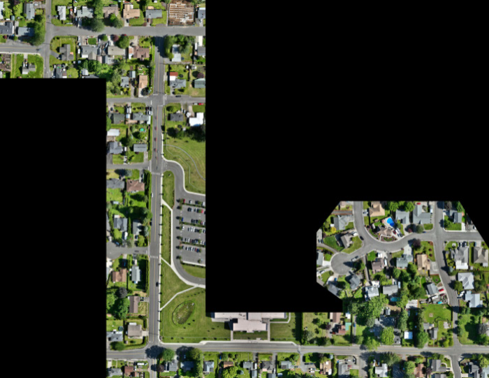
Truman Elementary Clark County, WA S&F was selected by Clark County to perform surveying and mapping, supporting their design of a sidewalk and access improvement project. The scope consists of topographic surveying, aerial/drone mapping, right-of-way resolution, underground utility investigation, monument preservation and legal descriptions. The project is approximately 3/4 mile long. Project Details MARKETEducation, Transportation … Read more

Oregon City PMUF

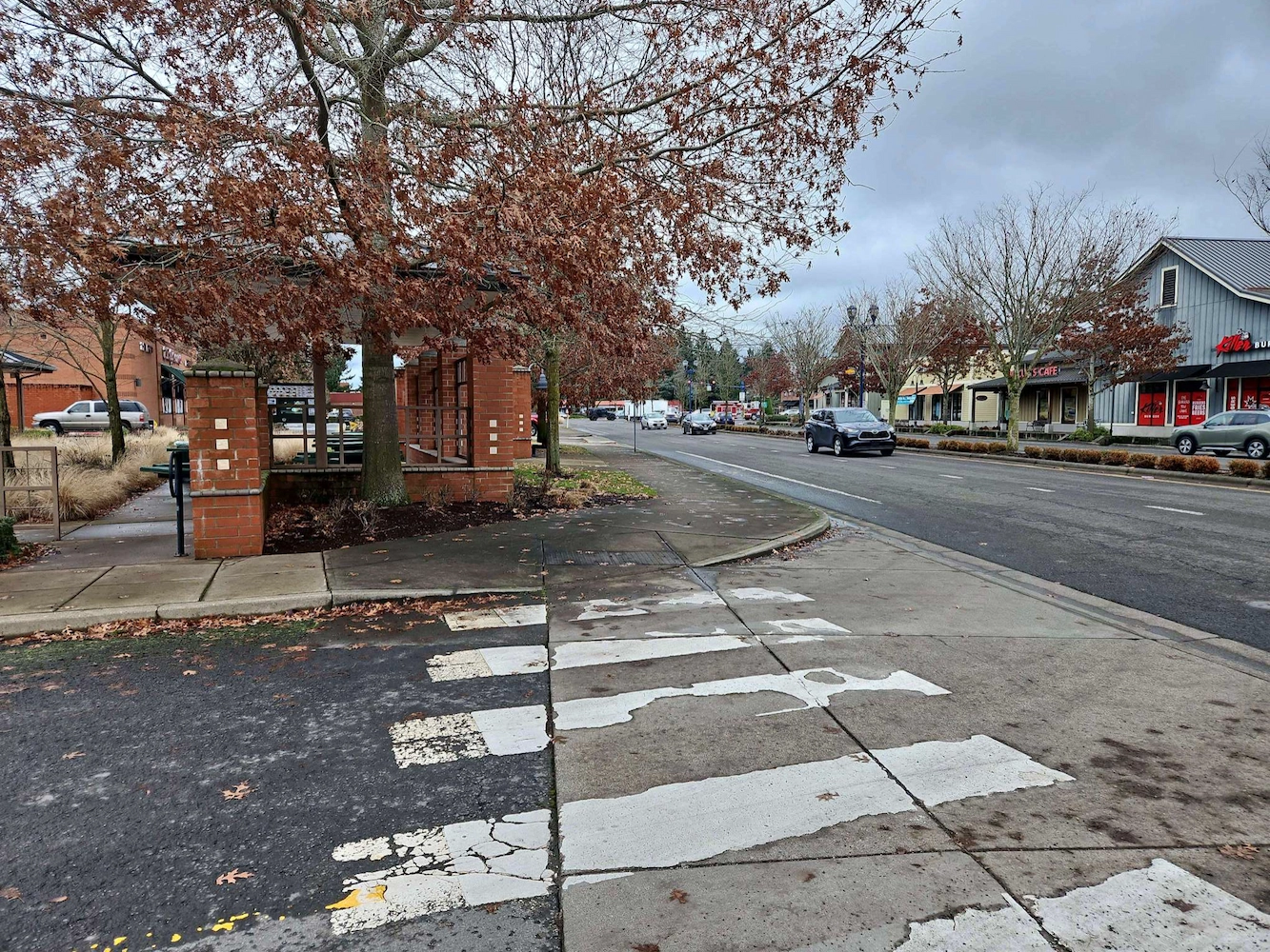
Oregon City PMUF Oregon City, OR Our recent survey work focused on ADA and roadway improvements, encompassing a detailed assessment of right-of-way and property corners, centerline monuments, and a comprehensive utility survey. By accurately establishing right-of-way boundaries and property corners, we ensured compliance with legal requirements while facilitating smooth project execution. The placement of centerline … Read more

Wilsonville Street Maintenance

Wilsonville Street Maintenance Wilsonville, OR S&F has been providing services to the City of Wilsonville on these annual projects for four years. Our work includes topographic surveys produced via UAV/drone and conventional survey methods. We also produce a control and monument recovery survey for monuments that could be disturbed during construction. We have worked on … Read more

Amisigger Road

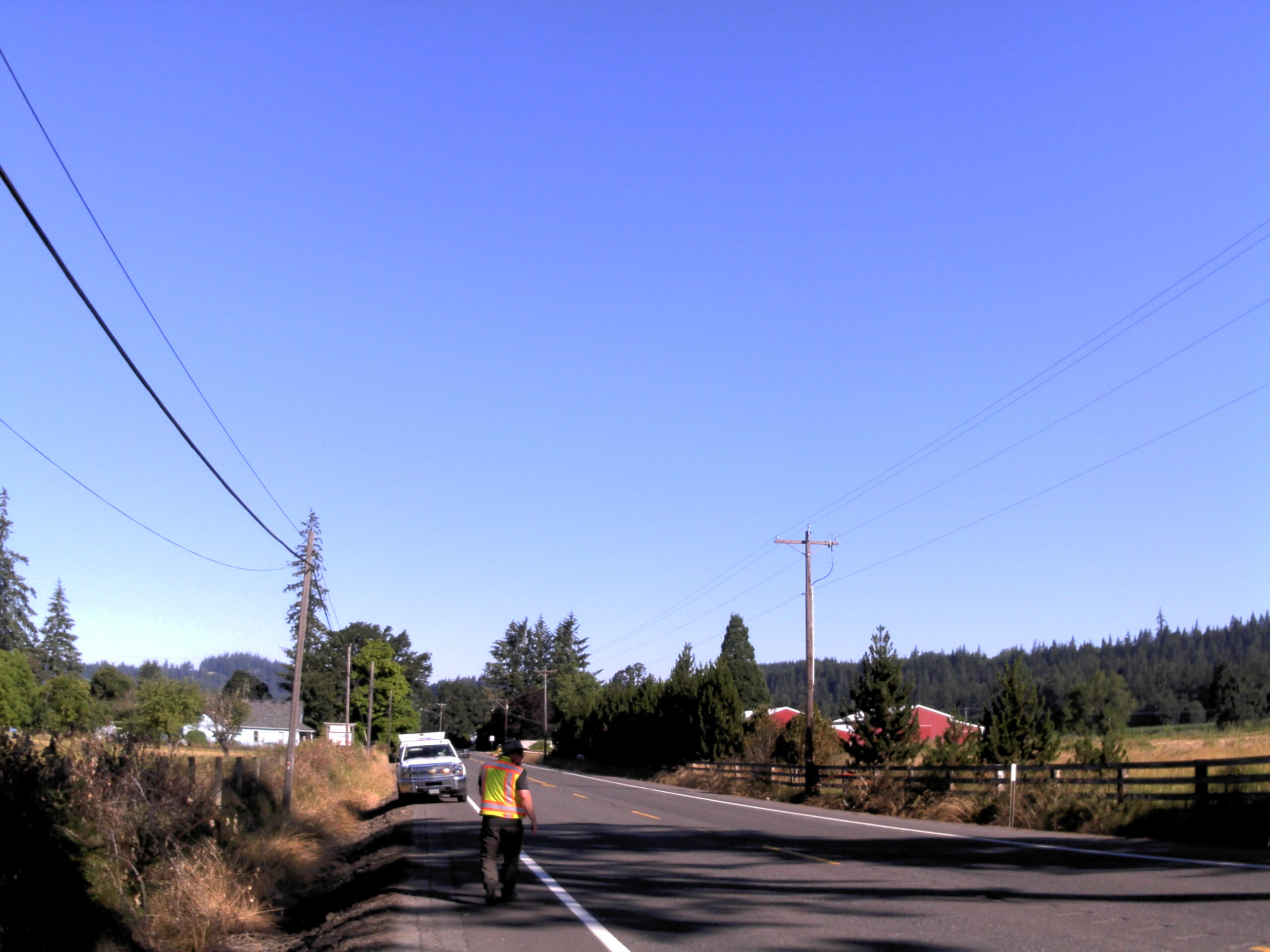
Amisigger Road Clackamas County, OR S&F completed a topographic survey of approximately 3,600 feet of Highway 224 and 1,600 feet of Amisigger Road, along with around 500 feet of creek limits, incorporating environmental consultants’ markings. The scope included retracing, resolving, and reestablishing 4,700 feet of right-of-way boundaries, creating a project centerline, right-of-way limits, and perpetuating … Read more

SSA Tacoma Terminal

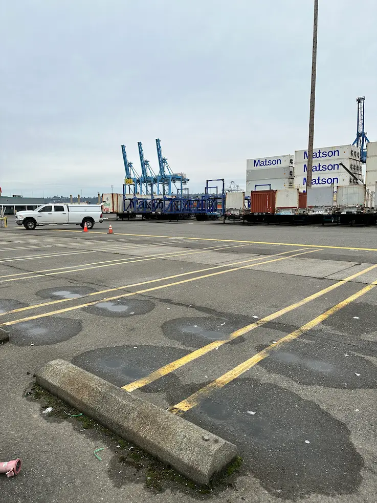
SSA Tacoma Terminal Tacoma, WA Utilizing TWIC certified staff, S&F completed full topographic and utility surveys for ~50 proposed light pole locations. S&F coordinated private utility locates, as well as access schedule with the client and Port to ensure timely deliverables used for final civil design of the proposed infrastructure. Project Details MARKETCommercial, Transportation SERVICEExisting … Read more

Bellevue-Issaquah Pipeline Relocation at Lewis Creek

Bellevue-Issaquah Pipeline Relocation at Lewis Creek Bellevue & Issaquah, WA S&F provided topographic survey and right-of-way retracement of Washington State Department of Transportation (WSDOT) right-of-way within SE Newport Way, Lakemont Blvd SE, and I-90 Interchange at Lewis Creek for Cascade Water Alliance 24” Bellevue-Issaquah Pipeline Relocation project. Scope of work included utility survey, pothole survey, … Read more

BNSF Auburn Yard

BNSF Auburn Yard Auburn, WA S&F provided surveying and mapping of the BNSF Auburn Yard IMF needed to design new infrastructure and IMF loading and parking. Survey of the 220 acre IMF included ground-based survey of all existing rail features and grade crossings as well as collecting low altitude high resolution aerial imagery with LiDAR … Read more

SR 542 Roundabout Design

SR 542 Roundabout Design Deming, WA S&F supported the design of a new roundabout near the intersection of Deming Road and State Route 542 by delivering high-precision survey data critical to planning and right-of-way evaluation. The project area, located approximately 500feet northwest of the intersection, required careful coordination due to complex property boundaries and traffic … Read more