Industrial Re-Use Pipeline

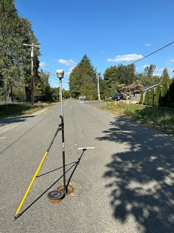
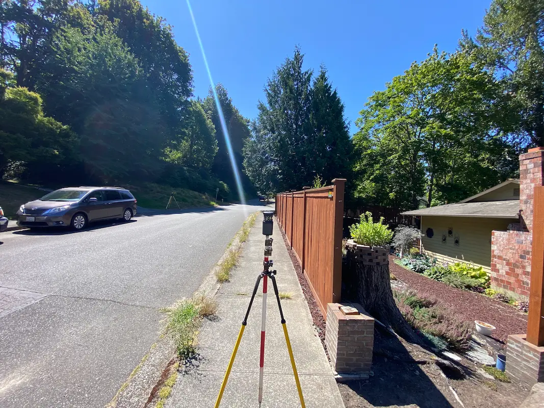
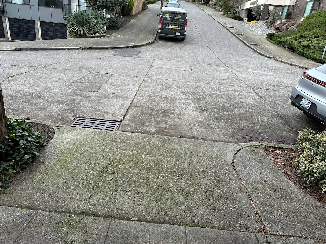
Industrial Re-Use Pipeline Quincy, WA S&F is providing full survey support for a 13-mile industrial re-use pipeline project in Quincy and the surrounding areas of Grant County. The pipeline system, overseen by the Washington State Department of Ecology, transports treated wastewater from a food processing facility to irrigation ponds for agricultural reuse. Our scope includes … Read more
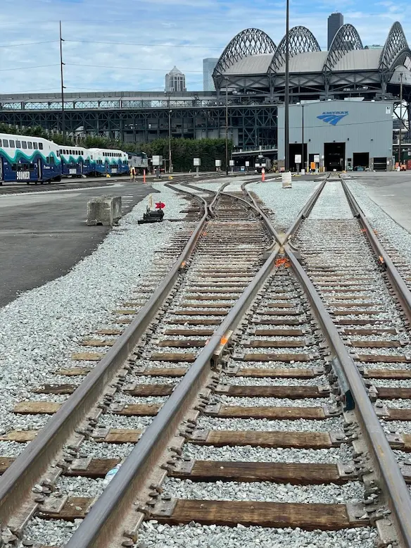
Amtrak PNW Maintenance Facility

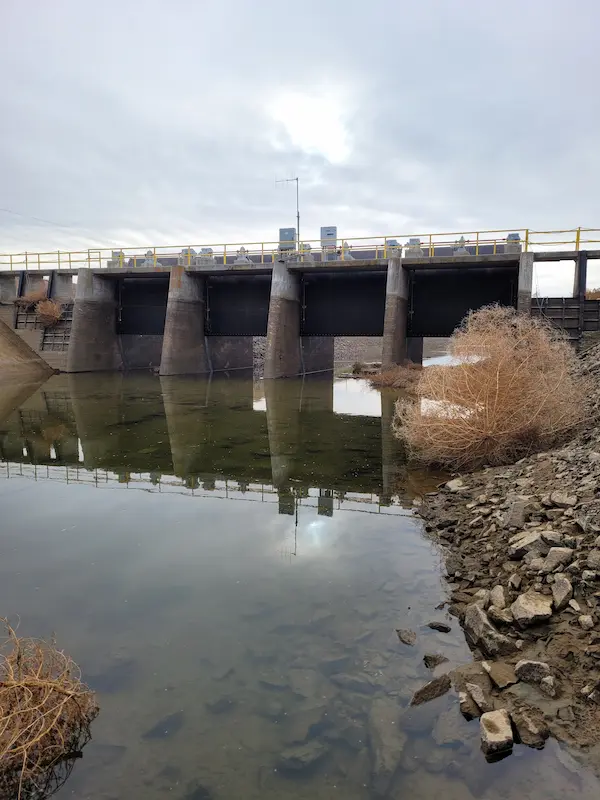
AmTrak PNW Maintenance Facility Seattle, WA S&F provided construction as-built mapping and staking verification for a 1.3 mile long section of intermodal track replacement at the AMTRAK maintenance facility in Seattle Washington. This project involved establishing and verifying existing survey control by others and acting as an independent surveyor in order to map the as-constructed … Read more

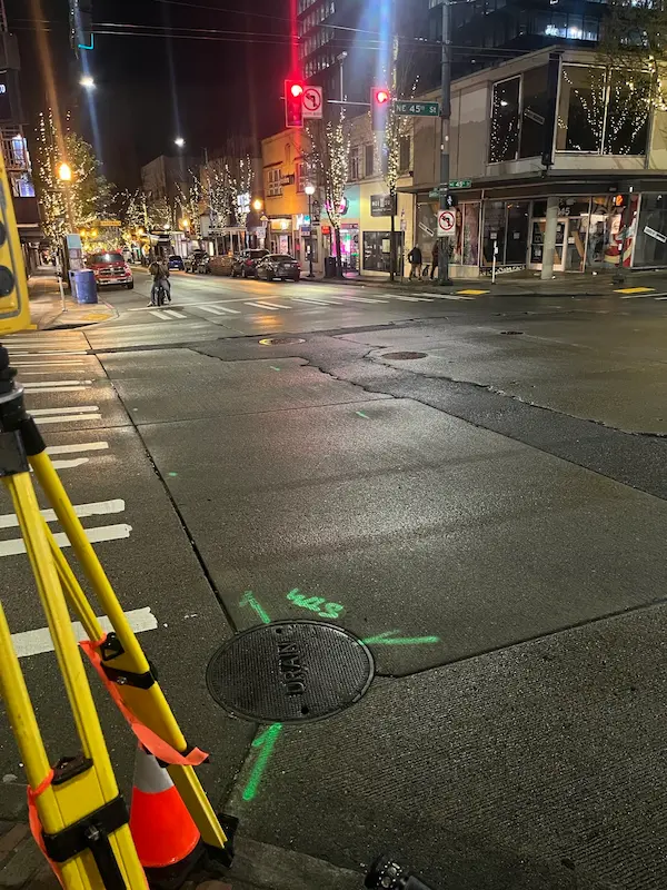
4345 University Way

4345 University Way Seattle, WA S&F performed a comprehensive topographic survey, right-of-way resolution, utility coordination, and subsurface utility engineering (SUE) to support infrastructure planning at the intersection of NE 45th Street and University Way NE. The project, conducted under SDOT Permit SUUTIL0018847, required night work to minimize traffic disruption. S&F managed all aspects of field … Read more

405 & NE 4th Relocation

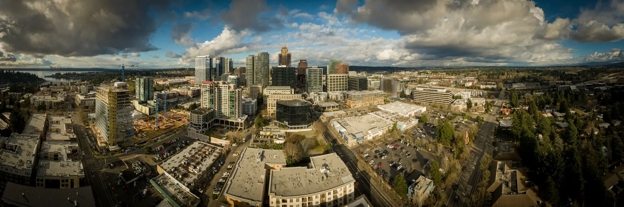
405 & NE 4th Relocation Bellevue, WA S&F conducted a site survey and FAA 1-A accuracy certification for a telecommunications relocation project near I-405 and NE 4th Street. Services included boundary and dimensional definition of the proposed cell-site area, contour and elevation mapping, identification of existing improvements and utilities, and preparation of NAD83-referenced deliverables to … Read more

Pacific Science Center

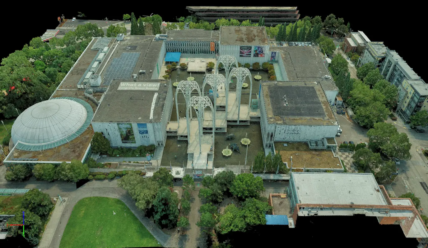
Pacific Science Center Seattle, WA S&F performed a rooftop survey and FAA 1-A accuracy certification to support telecommunications infrastructure planning at the Pacific Science Center. Services included preparation of FAA 1-A documentation, topographic mapping of the proposed cell-site area, and incorporation of aerial photography and photogrammetric reference imagery to verify rooftop geometry, positional accuracy, and … Read more

Union Bay Relocation

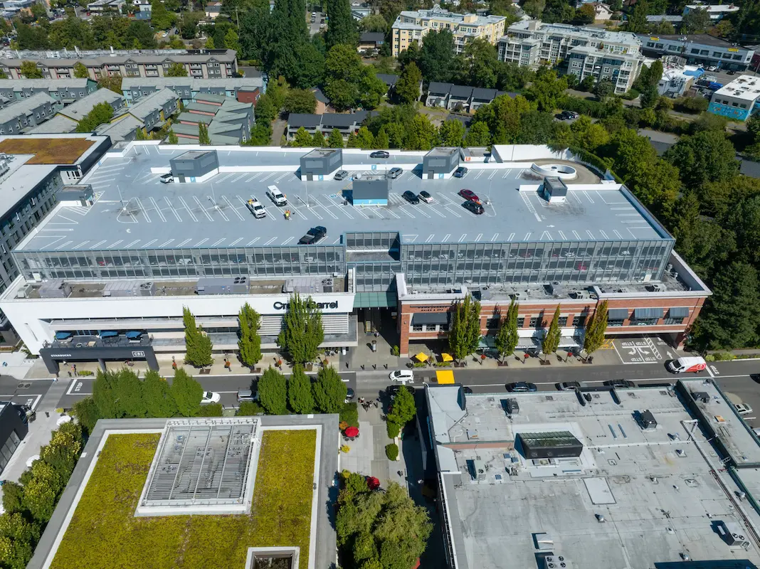
Union Bay Relocation Seattle, WA S&F completed a detailed site survey supporting installation of a new rooftop telecommunications facility at University Village in Seattle. The work included boundary definition, vertical relief mapping, and location of improvements and utilities coordinates, supported by aerial photography and rooftop imagery used to document existing conditions, evaluate siting constraints, and … Read more

City of Lake Stevens 91st Ave SE – Safe Routes to School

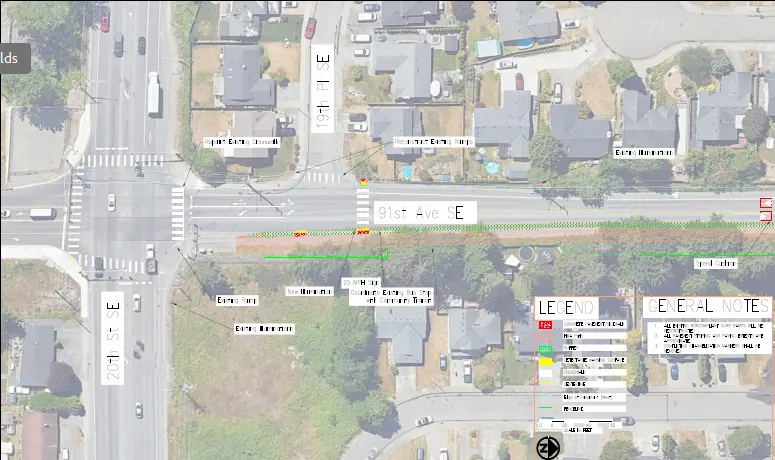
City of Lake Stevens 91st Ave SE – Safe Routes to School Lake Stevens, WA S&F is currently providing topographic surveying and right-of-way retracement along a 0.5-mile section of 91st Avenue SE in Lake Stevens as part of a Safe Routes to Schools (SRTS) project. The work supports new sidewalk improvements that enhance pedestrian safety … Read more

2026 Sidewalk Gaps

2026 Sidewalk Gaps North Bend, Washington S&F provided services to support sidewalk infill improvements intended to create continuous pedestrian access throughout targeted roadway corridors in the City of North Bend. Work includes topographic surveying, utility coordination, right-of-way retracement, and preparation of mapping and CAD base files for engineering design and construction planning. Services incorporate land … Read more

City of Kirkland – 108th Avenue

City of Kirkland – 108th Avenue Kirkland, WA S&F provided land surveying services in support of stormwater infrastructure improvements addressing flooding within the Juanita neighborhood. Scope includes topographic surveying, utility coordination and potholing, right-of-way retracement, and preparation of survey mapping and CAD deliverables along NE 120th Place, NE120th Street, 106th Avenue NE, and 108th Avenue … Read more

Garfield Street Stairway & Retaining Wall

Garfield Street Stairway & Retaining Wall Seattle, WA S&F provided topographic surveying and right-of-way mapping for the City of Seattle Department of Transportation to support stairway and retaining wall improvements along Garfield Street between 5th Avenue North and Taylor Avenue North. Services included detailed 3D mapping within the public right-of-way and select adjacent properties, capturing … Read more