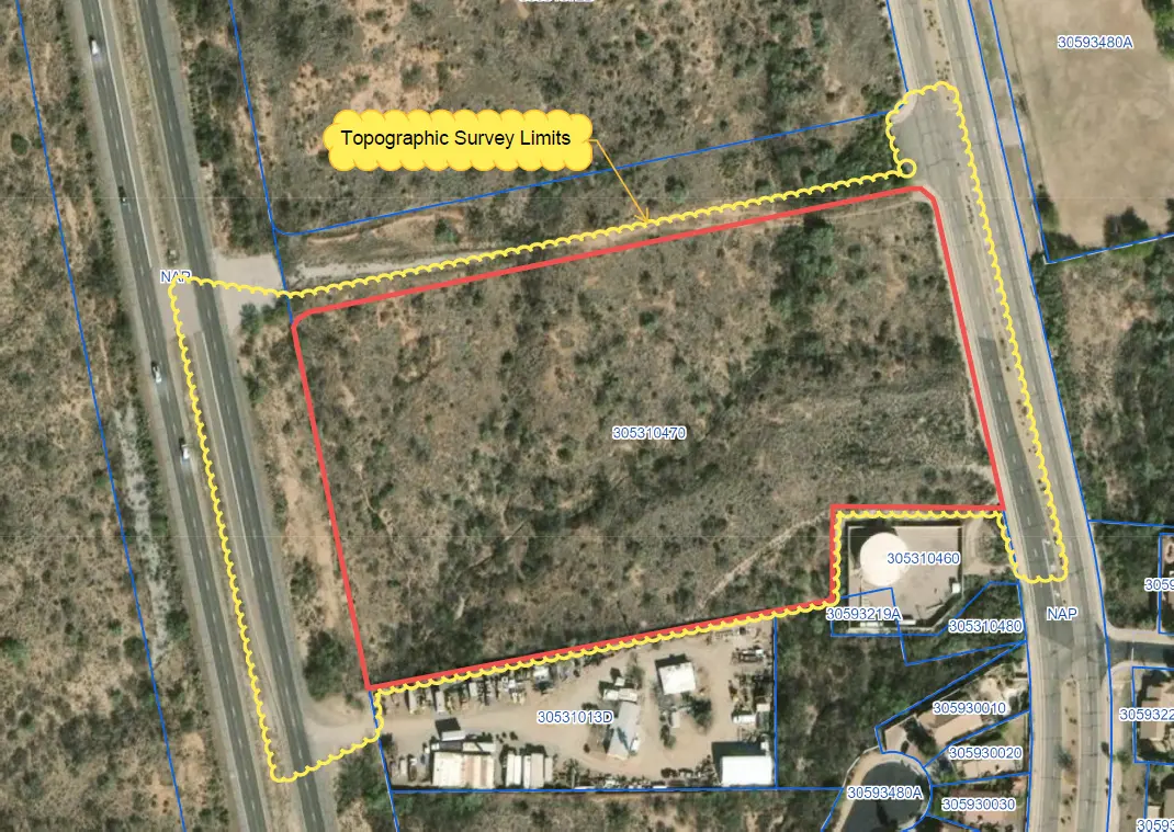
T-Mobile Park Terrestrial Scanning

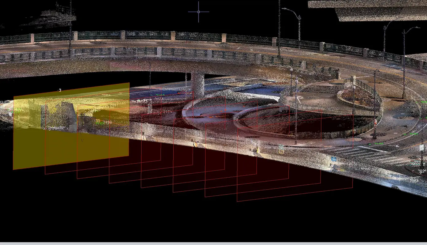
T-Mobile Park Terrestrial Scanning Seattle, WA S&F performed terrestrial laser scanning and topographic surveying to support design around T-Mobile Park and adjacent roadway and pedestrian infrastructure in Seattle. Services included establishing survey control, coordinating utility locates, collecting high-resolution scan data, and delivering a registered point cloud, design-level topographic mapping, and signed existing-conditions plans to support … Read more
San Juan Lateral Water Treatment Plant

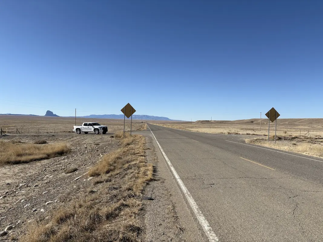
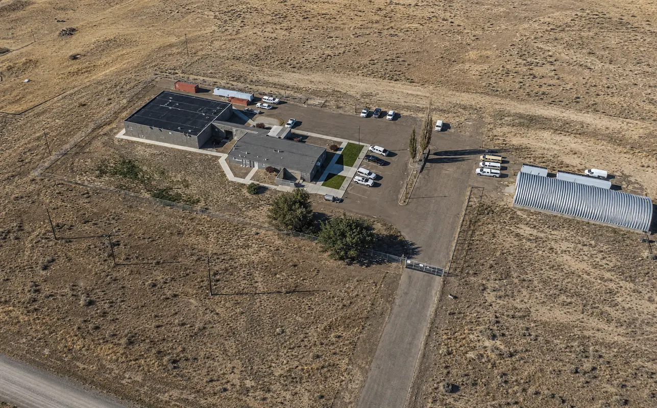
San Juan Lateral Water Treatment Plant Shiprock, NM A water treatment plant and waterline alignment are being constructed on NTUA lands. Initial survey support consisted of checking previous topographic survey data, and additional topographic survey of 16 acres, including a half mile of Navajo Highway 36. Our support continued through construction as the survey Quality … Read more

IHS Realty Sites – Whiteriver, Cibecue, Supai, Owyhee, Moapa, FortMcDermitt

IHS Realty Sites – Whiteriver, Cibecue, Supai, Owyhee, Moapa, FortMcDermitt Arizona & Nevada (ProjeS&F provided comprehensive boundary and lease survey services for six Indian Health Service (IHS) realty sites across Arizona and Nevada, supporting critical healthcare facilities in Whiteriver, Cibecue, and Supai, Arizona, and Owyhee, Moapa, and Fort McDermitt, Nevada. The project included detailed records … Read more

Casa Grande Substation

Casa Grande Substation Casa Grande, AZ Topographic survey and aerial imagery for approximately 60 acres to support access rights and design to a new substation. A full existing conditions map was produced including surface data, planimetrics and utilities. Additional survey support included preparing a legal description for the access easement and a boundary survey to … Read more

City of Casa Grande Monthly Drainage Mapping

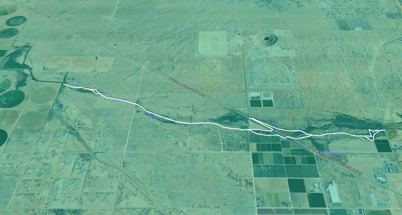
City of Casa Grande Monthly Drainage Mapping Casa Grande, AZ For over a year, S&F has been performing monthly mapping for 6 miles of drainage. The city is required to report to the Arizona Department of Water Resources. Using a virtual GPS network, our crews saved significant time in setup and remobilizations. A crew travels … Read more

Multiple Solar Farms Ranging from 500–6,000 Acres

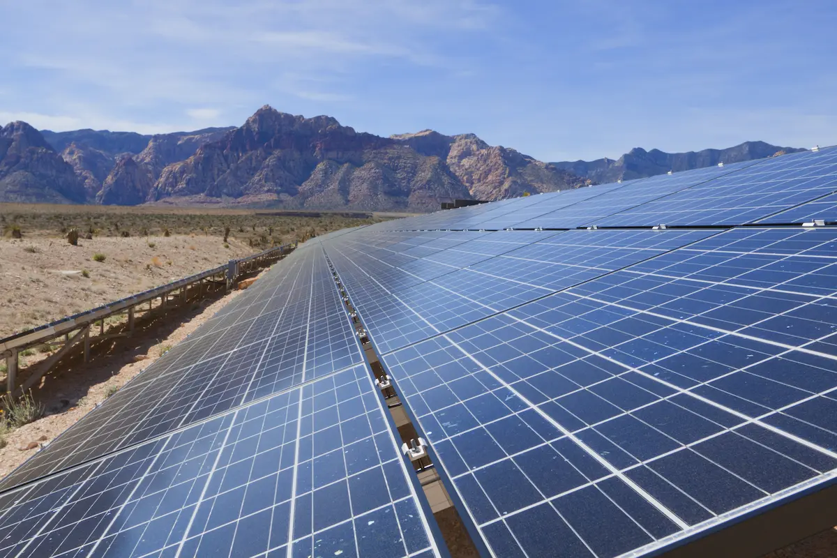
Multiple Solar Farms Ranging from 500-6,000 Acres Arizona & California S&F Land Services has performed topographic and boundary surveying for many Solar sites throughout Arizona and neighboring states. Often, time is of the essence on the larger sites. S&F decreases the timeline of work by utilizing UAV/drone (LiDAR and Imagery) to map these large sites. … Read more

Superstition Springs Center Redevelopment

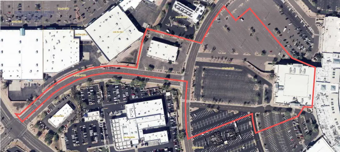
Superstition Springs Center Redevelopment Mesa, AZ S&F performed an ALTA/NSPS Land Title Survey for a 13-acre parcel within the Superstition Springs Center under an expedited one-week timeline. The team conducted a boundary survey and mapped planimetric features using drone-based imagery to produce an orthorectified image of the site. Field crews supplemented the aerial data by … Read more

U-Haul Tucson

U-Haul Tucson Tucson, AZ 11 acre ALTA survey and full topographic survey for design purposes to support the design of a new U-Haul facility in North Tucson. The site consisted of a wash running through the middle of the property. UAV/drone mapping was used to create a dense point cloud of the surface – creating … Read more

Farwest Casino

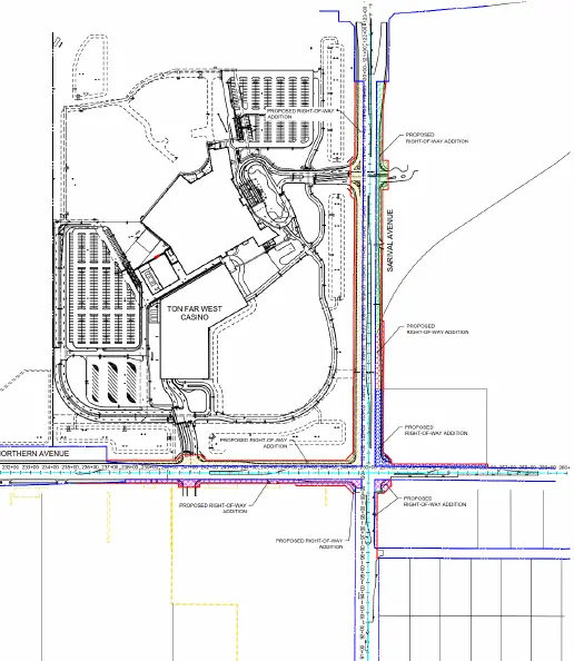
Farwest Casino Maricopa County, AZ ALTA and Topographic survey of the 100+ acre property. Extensive adjacentroadway topographic, underground utility and right-of-way survey was alsoincluded. S&F prepared multiple legal descriptions for right-of-way dedications,construction easements, and utility agreements. Project Details MARKETCommecial SERVICEALTA Surveys, Legal Description, Right-of-Way Establishments, Topographic Surveying LOCATIONMaricopa County, AZ

Town of Marana Heritage Park Water Treatment

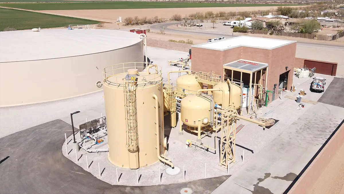
Town of Marana Heritage Park Water Treatment Marana, AZ A full topographic and boundary survey to support the design of centralized water treatment at Heritage Park in Marana, AZ. A combination of UAV/drone mapping and ground survey techniques are used to collect data for 14 acres of the park and nearby existing facility, along with … Read more