
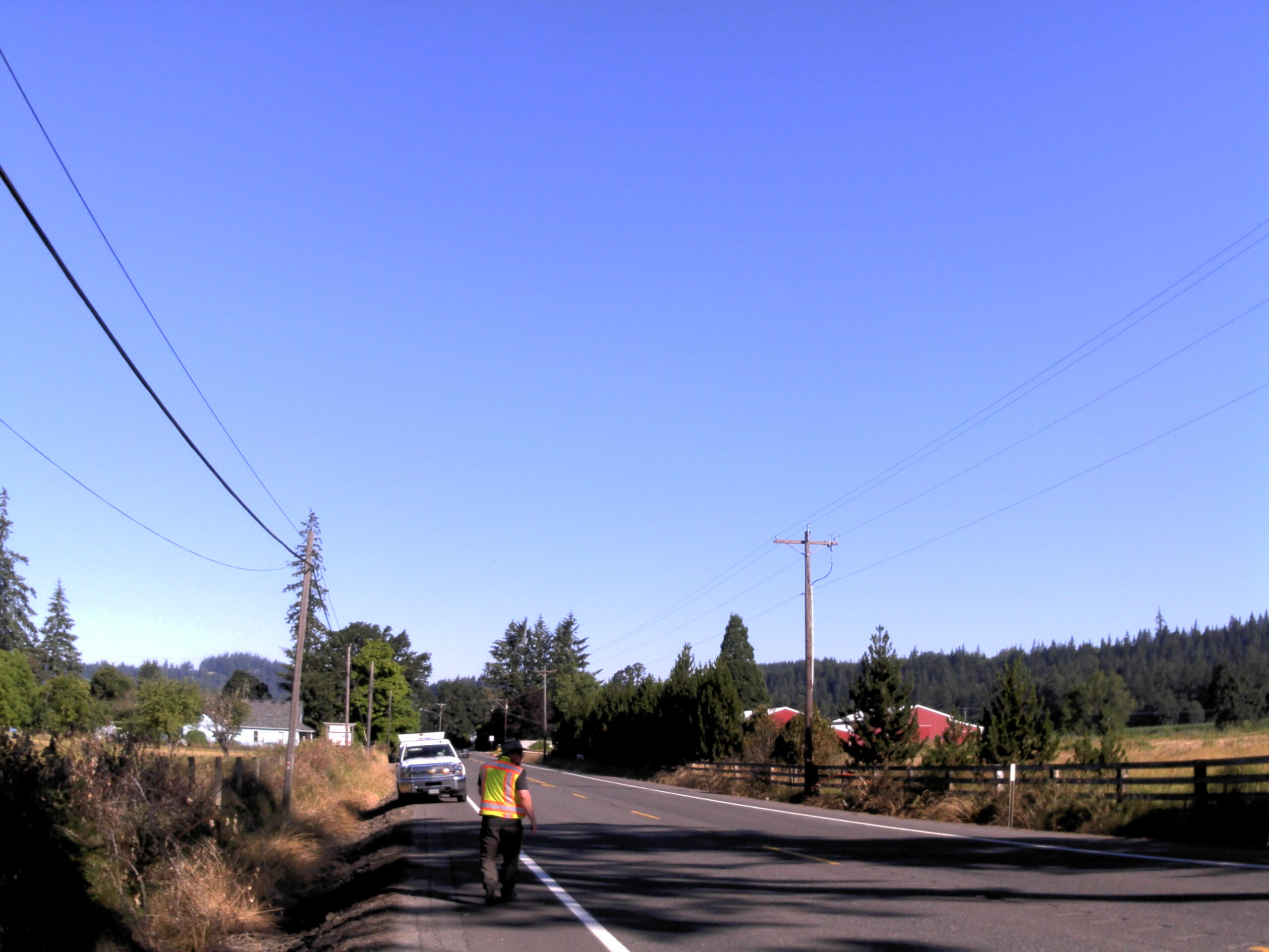
Amisigger Road

Amisigger Road Clackamas County, OR S&F completed a topographic survey of approximately 3,600 feet of Highway 224 and 1,600 feet of Amisigger Road, along with around 500 feet of creek limits, incorporating environmental consultants’ markings. The scope included retracing, resolving, and reestablishing 4,700 feet of right-of-way boundaries, creating a project centerline, right-of-way limits, and perpetuating … Read more
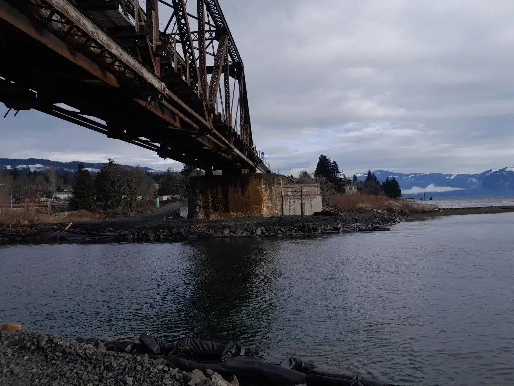
Bridge 1750.9, Skykomish River

Bridge 1750.9, Skykomish River Gold Bar, WA S&F provided survey to replace an existing rail bridge over the Skykomish River. S&F established survey control, topographic mapping, and right-of-way determination along a 2.5-mile rail corridor, including the bridge, tracks, and adjacent access points. S&F also completed conventional surveys and 3D laser scanning of the existing bridge … Read more

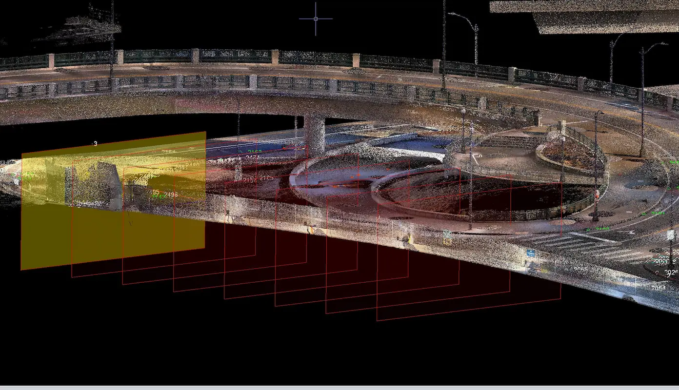
T-Mobile Park Terrestrial Scanning

T-Mobile Park Terrestrial Scanning Seattle, WA S&F performed terrestrial laser scanning and topographic surveying to support design around T-Mobile Park and adjacent roadway and pedestrian infrastructure in Seattle. Services included establishing survey control, coordinating utility locates, collecting high-resolution scan data, and delivering a registered point cloud, design-level topographic mapping, and signed existing-conditions plans to support … Read more