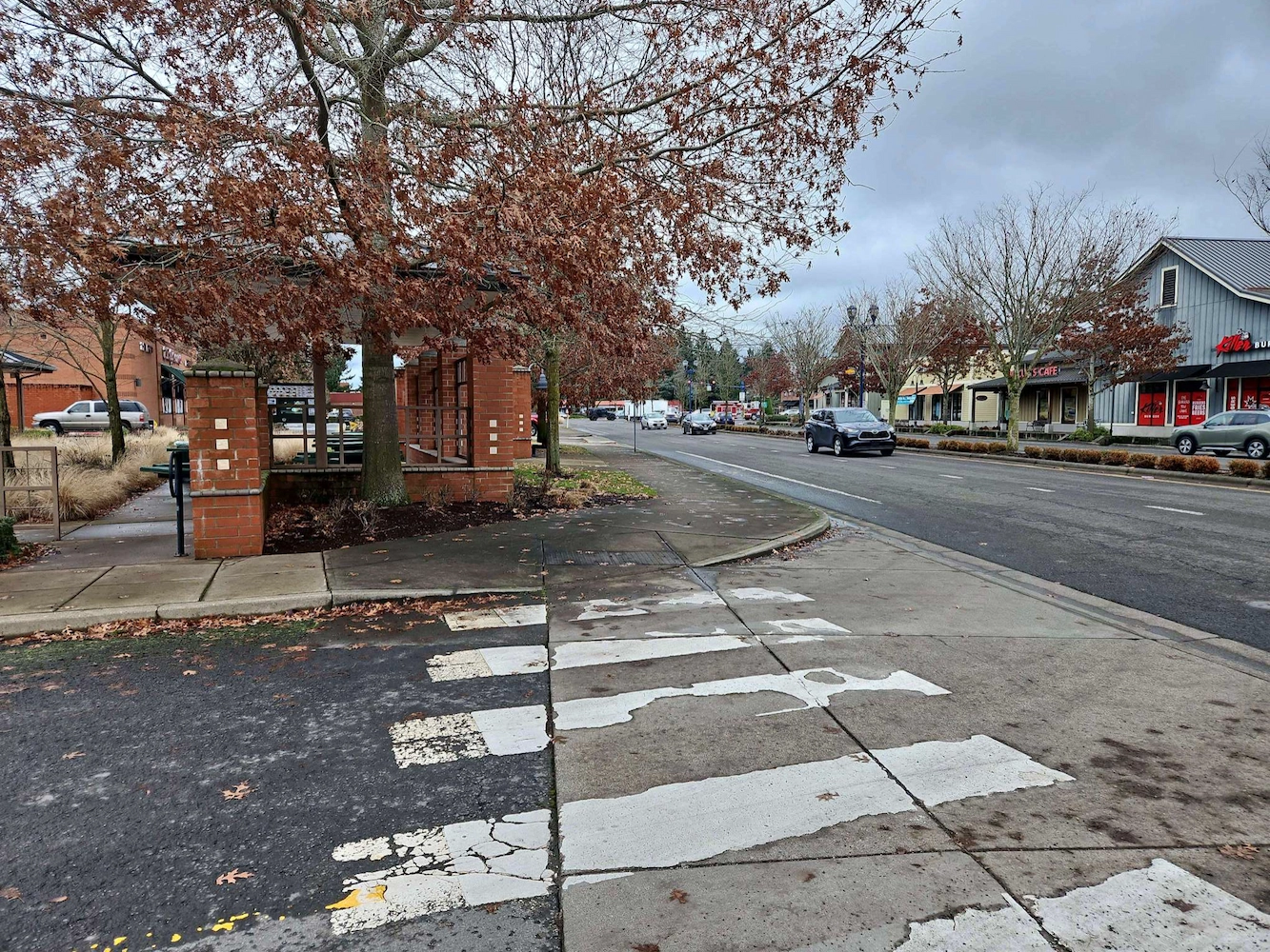
Wilsonville Street Maintenance

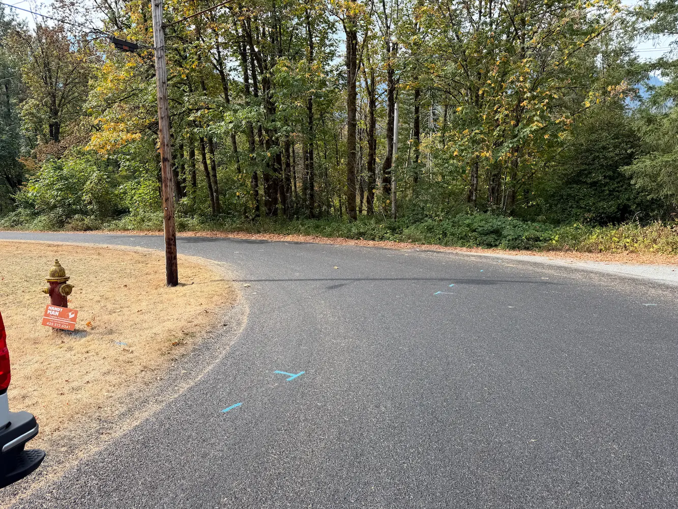
Wilsonville Street Maintenance Wilsonville, OR S&F has been providing services to the City of Wilsonville on these annual projects for four years. Our work includes topographic surveys produced via UAV/drone and conventional survey methods. We also produce a control and monument recovery survey for monuments that could be disturbed during construction. We have worked on … Read more
272nd Waterline

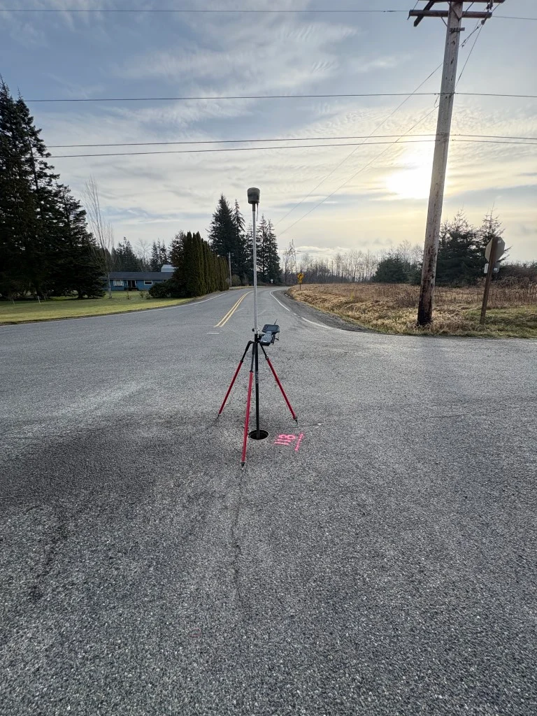
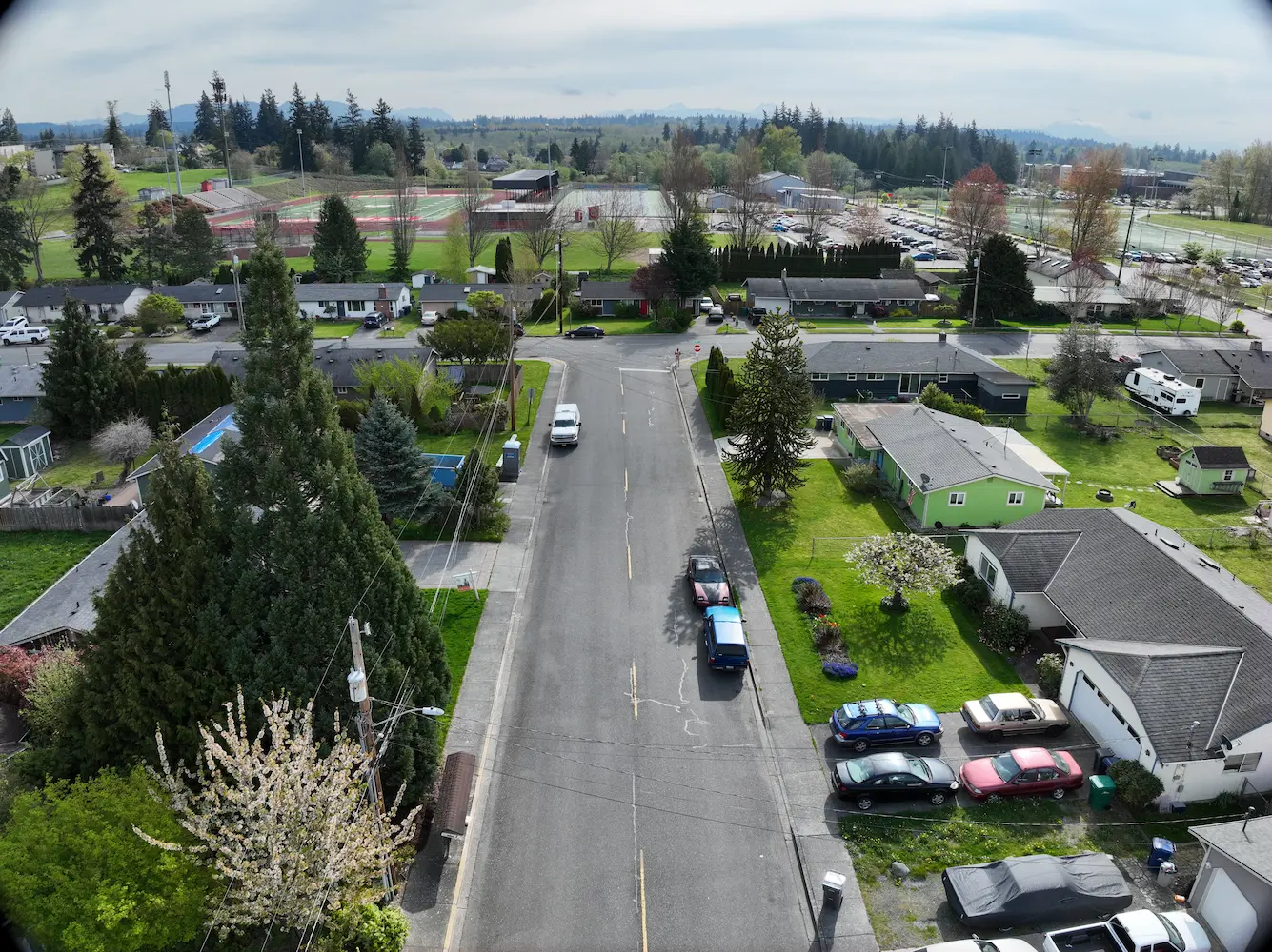
272nd Waterline Snohomish County, WA S&F prepared design-level base mapping covering the full width of the right-of-way along approximately one-half mile of 272nd Street NW and 76th Drive NW, extending past the curb returns on the abutting street at 273rd, in support of asbestos-cement waterline replacement. Survey control was established and rights-of-way and roadway centerlines … Read more

Shelton-Fairmount No. 1 Transmission Line

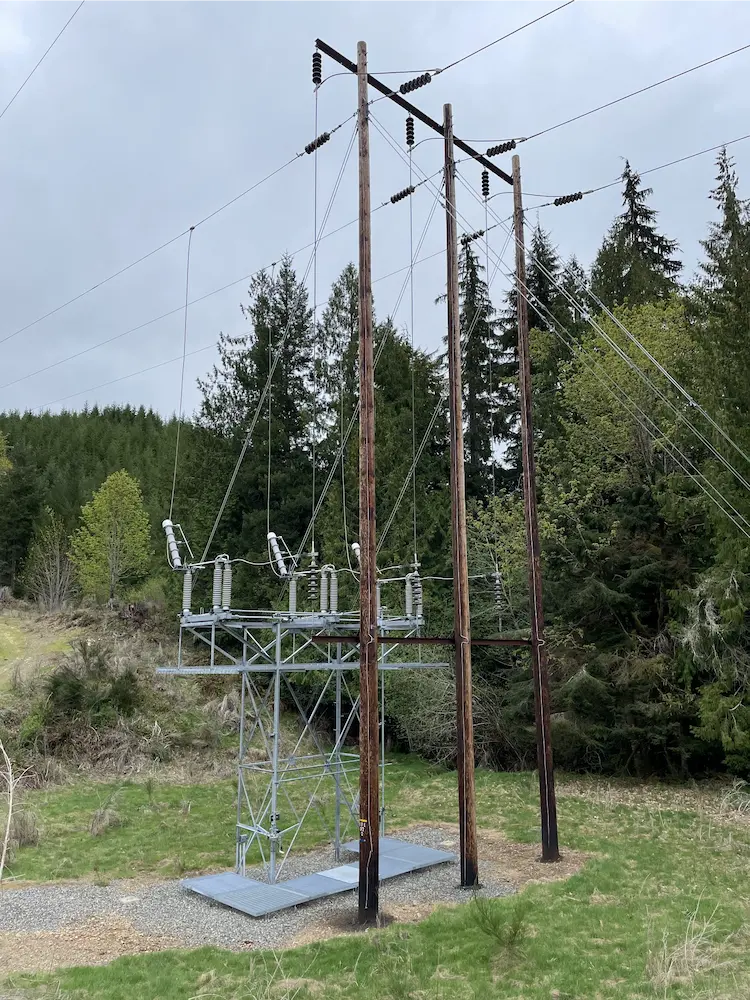
Town of Index Watermain Replacement Mason & Jefferson Counties, WA S&F is currently providing surveying and mapping support for the retracement of a 60-mile transmission line rebuild project in Mason and Jefferson Counties, WA. The scope includes acquisition and survey support, with work focused on retracing both the original construction line and the acquisition survey … Read more

Town of Index Watermain Replacement

Town of Index Watermain Replacement Index, WA S&F prepared design-level base mapping covering the full width of the right-of-way along approximately 1,100 feet of Index Avenue, together with 2nd Street and 7th, and a 900-foot section of Old Gold Bar-Index Road in support of asbestos-cement waterline replacement. Survey control, rights-of-way, roadway centerlines, and the BNSF/NPRR … Read more

Litespeed Specialized

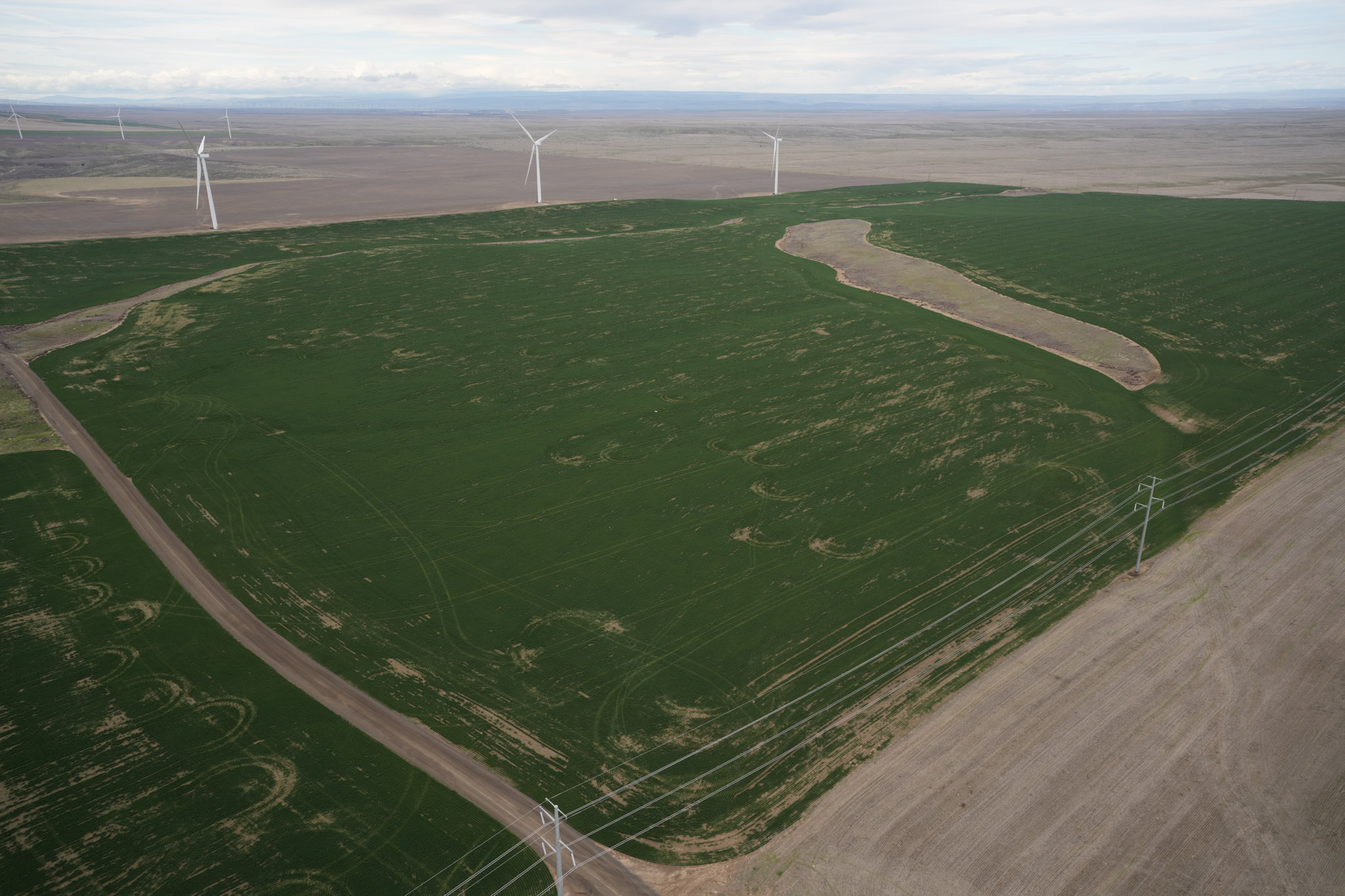
Litespeed Specialized Northeastern Oregon S&F is providing the surveying and mapping support required to design, acquire rights and permits for, and construct multiple transmission and distribution lines and three substations in northeastern Oregon. The project spans several routes across two counties and more than 10 townships, much of it through agricultural land. Work includes primary … Read more

Boardman to Hemingway (B2H) Federal Land Survey

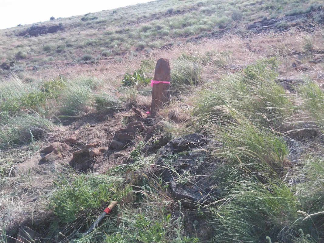
Boardman to Hemingway (B2H) Federal Land Survey Oregon & Idaho S&F provided survey support for the federal lands portion of the Boardman to Hemingway (B2H) transmission line, locating 588 monuments controlling federal lands with potential to be disturbed during construction across a 294-mile transmission line and associated access roadways. Work included densifying the existing control … Read more

Gulf Road Project

Gulf Road Project Ferndale, WA S&F provided topographic surveying and construction as-built services for a 2.3-mile rail corridor and intermodal yard replacement project for BNSF. The scope included verifying and supplementing existing survey control, collecting topographic data, and measuring track ties to support the design of new track alignments. S&F also performed boundary computations and … Read more

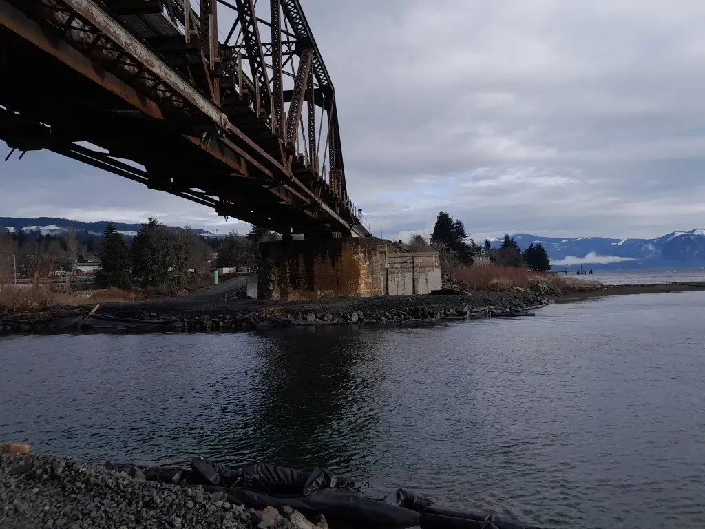
Bridge 1750.9, Skykomish River

Bridge 1750.9, Skykomish River Gold Bar, WA S&F provided survey to replace an existing rail bridge over the Skykomish River. S&F established survey control, topographic mapping, and right-of-way determination along a 2.5-mile rail corridor, including the bridge, tracks, and adjacent access points. S&F also completed conventional surveys and 3D laser scanning of the existing bridge … Read more

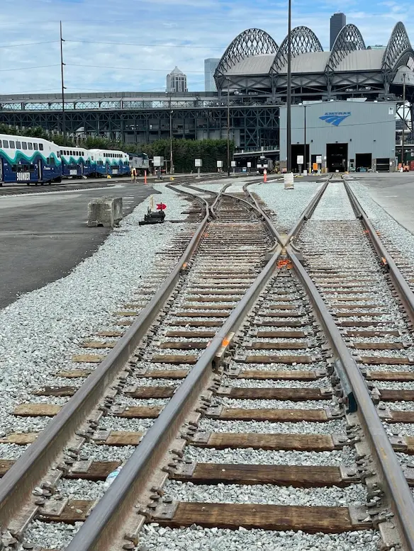
Amtrak PNW Maintenance Facility

AmTrak PNW Maintenance Facility Seattle, WA S&F provided construction as-built mapping and staking verification for a 1.3 mile long section of intermodal track replacement at the AMTRAK maintenance facility in Seattle Washington. This project involved establishing and verifying existing survey control by others and acting as an independent surveyor in order to map the as-constructed … Read more

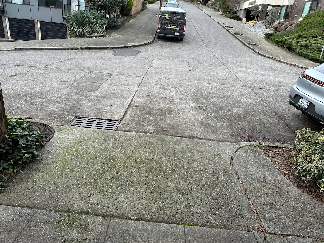
Garfield Street Stairway & Retaining Wall

Garfield Street Stairway & Retaining Wall Seattle, WA S&F provided topographic surveying and right-of-way mapping for the City of Seattle Department of Transportation to support stairway and retaining wall improvements along Garfield Street between 5th Avenue North and Taylor Avenue North. Services included detailed 3D mapping within the public right-of-way and select adjacent properties, capturing … Read more