
T-Mobile Park Terrestrial Scanning

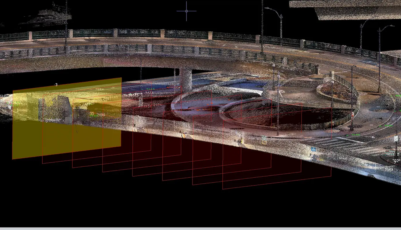
T-Mobile Park Terrestrial Scanning Seattle, WA S&F performed terrestrial laser scanning and topographic surveying to support design around T-Mobile Park and adjacent roadway and pedestrian infrastructure in Seattle. Services included establishing survey control, coordinating utility locates, collecting high-resolution scan data, and delivering a registered point cloud, design-level topographic mapping, and signed existing-conditions plans to support … Read more
Kyrene Road 2-Mile Topo

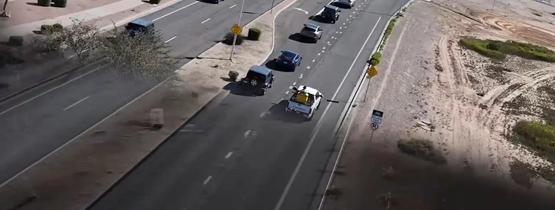
Kyrene Road 2-Mile Topo Chandler, AZ 2-miles of roadway on a 4-5 lane arterial roadway in Chandler, AZ. S&F utilized Mobile Mapping (vehicle mounted LiDAR and image sensors) to drive the alignment and collect dense point cloud data and imagery. The point cloud was controlled by survey control and Quality Assurance observations throughout the project. … Read more

South Tri-Cities Transmission Line

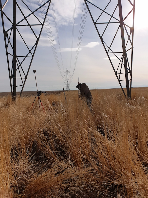
South Tri-Cities Transmission Line Benton County, WA S&F is currently providing surveying and mapping support necessary to complete the design, acquire rights and permits to construct a transmission line. This project involved survey along the route for a new, 17-mile transmission line in Benton County, WA with large portions of the alignment in agricultural areas. … Read more