Truman Elementary

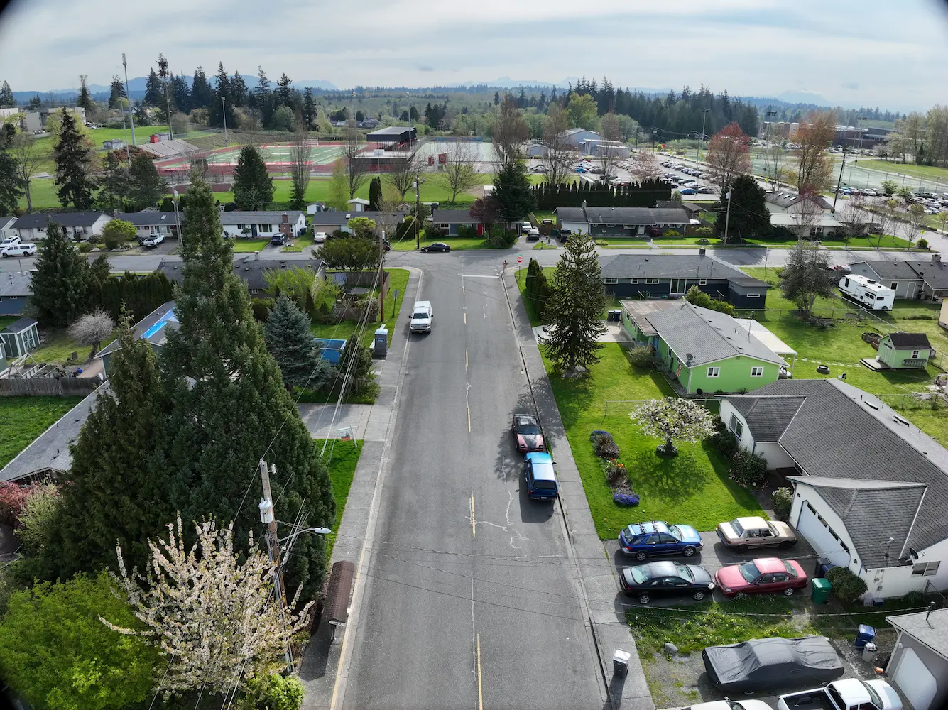
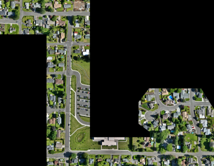
Truman Elementary Clark County, WA S&F was selected by Clark County to perform surveying and mapping, supporting their design of a sidewalk and access improvement project. The scope consists of topographic surveying, aerial/drone mapping, right-of-way resolution, underground utility investigation, monument preservation and legal descriptions. The project is approximately 3/4 mile long. Project Details MARKETEducation, Transportation … Read more
Oregon City PMUF

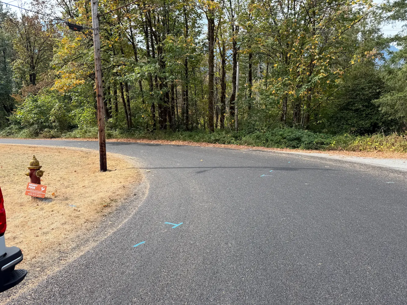
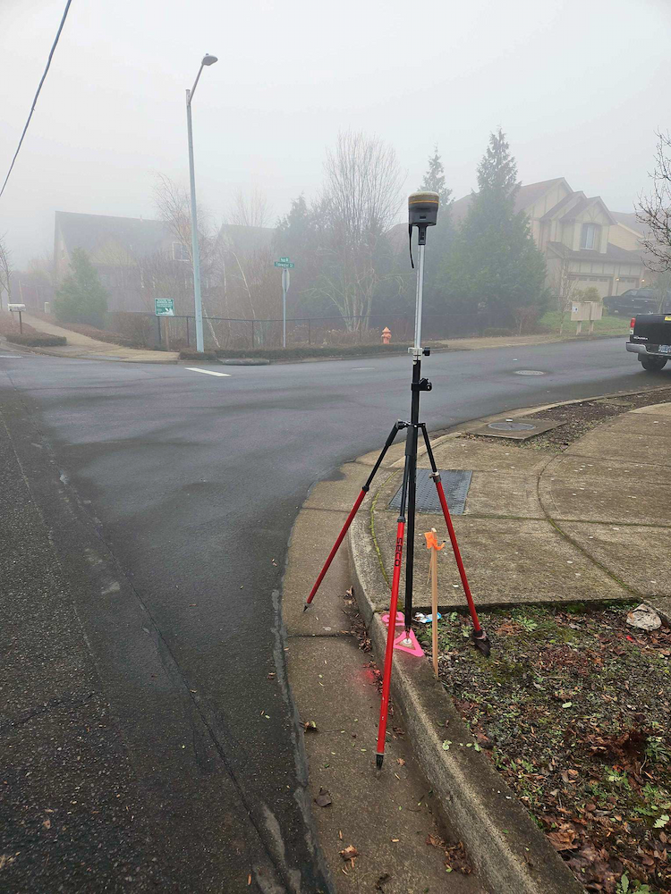
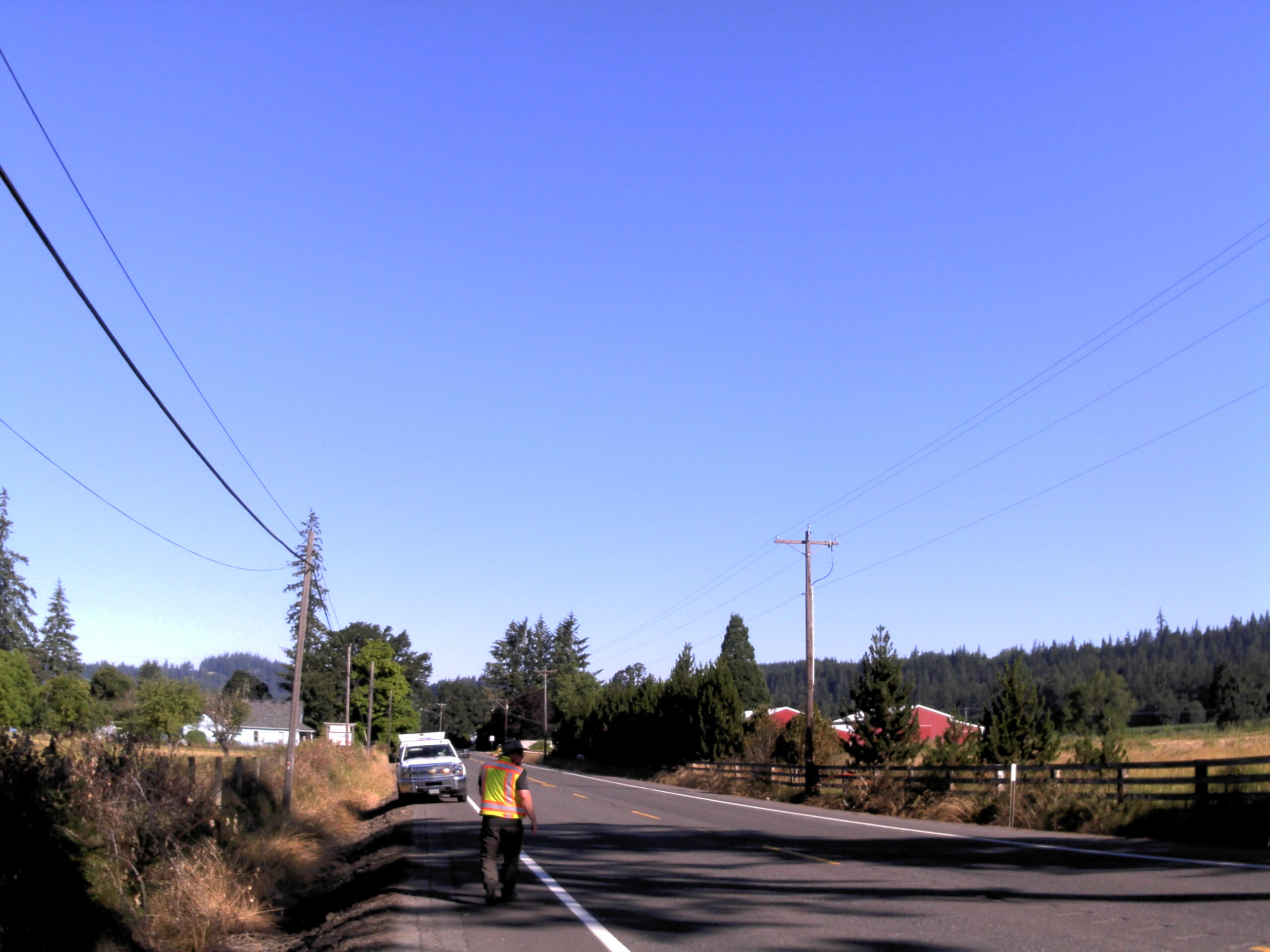
Oregon City PMUF Oregon City, OR Our recent survey work focused on ADA and roadway improvements, encompassing a detailed assessment of right-of-way and property corners, centerline monuments, and a comprehensive utility survey. By accurately establishing right-of-way boundaries and property corners, we ensured compliance with legal requirements while facilitating smooth project execution. The placement of centerline … Read more

Amisigger Road

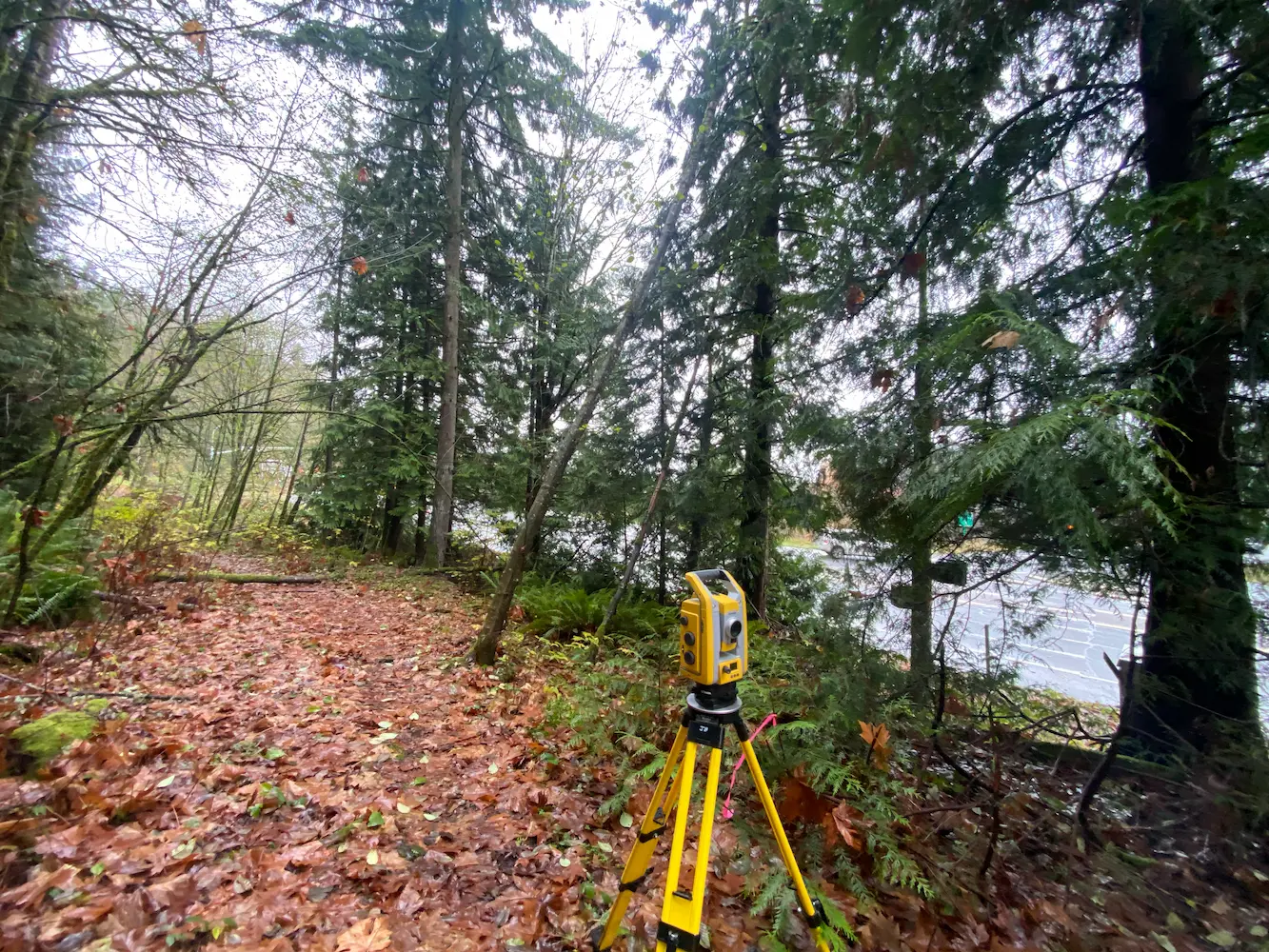
Amisigger Road Clackamas County, OR S&F completed a topographic survey of approximately 3,600 feet of Highway 224 and 1,600 feet of Amisigger Road, along with around 500 feet of creek limits, incorporating environmental consultants’ markings. The scope included retracing, resolving, and reestablishing 4,700 feet of right-of-way boundaries, creating a project centerline, right-of-way limits, and perpetuating … Read more

272nd Waterline

272nd Waterline Snohomish County, WA S&F prepared design-level base mapping covering the full width of the right-of-way along approximately one-half mile of 272nd Street NW and 76th Drive NW, extending past the curb returns on the abutting street at 273rd, in support of asbestos-cement waterline replacement. Survey control was established and rights-of-way and roadway centerlines … Read more

Bellevue-Issaquah Pipeline Relocation at Lewis Creek

Bellevue-Issaquah Pipeline Relocation at Lewis Creek Bellevue & Issaquah, WA S&F provided topographic survey and right-of-way retracement of Washington State Department of Transportation (WSDOT) right-of-way within SE Newport Way, Lakemont Blvd SE, and I-90 Interchange at Lewis Creek for Cascade Water Alliance 24” Bellevue-Issaquah Pipeline Relocation project. Scope of work included utility survey, pothole survey, … Read more

Shelton-Fairmount No. 1 Transmission Line

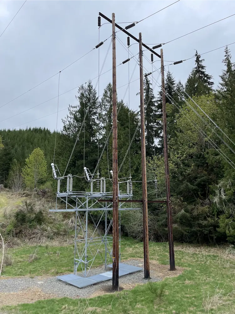
Town of Index Watermain Replacement Mason & Jefferson Counties, WA S&F is currently providing surveying and mapping support for the retracement of a 60-mile transmission line rebuild project in Mason and Jefferson Counties, WA. The scope includes acquisition and survey support, with work focused on retracing both the original construction line and the acquisition survey … Read more

Town of Index Watermain Replacement

Town of Index Watermain Replacement Index, WA S&F prepared design-level base mapping covering the full width of the right-of-way along approximately 1,100 feet of Index Avenue, together with 2nd Street and 7th, and a 900-foot section of Old Gold Bar-Index Road in support of asbestos-cement waterline replacement. Survey control, rights-of-way, roadway centerlines, and the BNSF/NPRR … Read more

SR 542 Roundabout Design

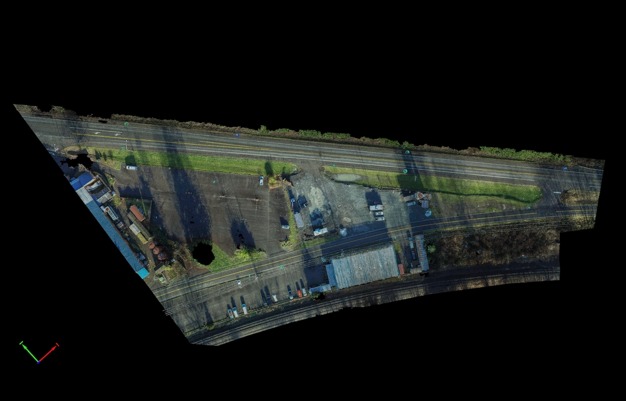
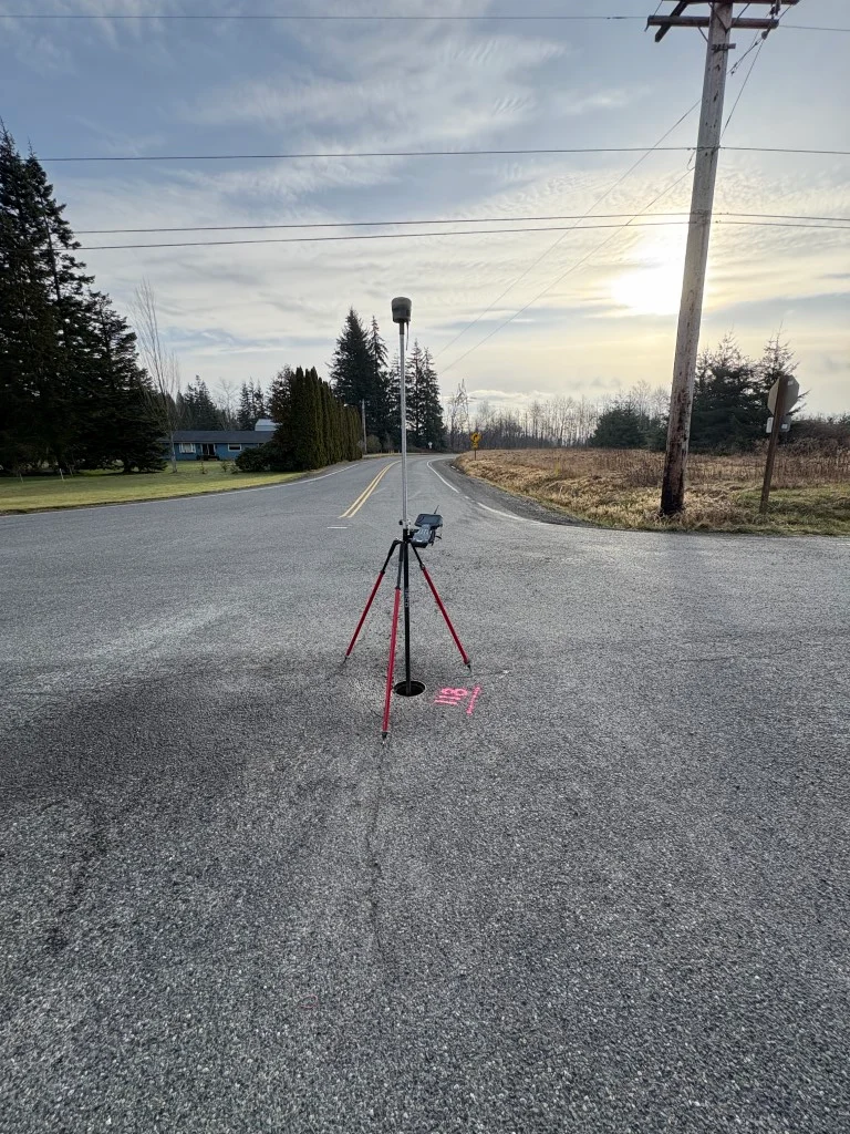
SR 542 Roundabout Design Deming, WA S&F supported the design of a new roundabout near the intersection of Deming Road and State Route 542 by delivering high-precision survey data critical to planning and right-of-way evaluation. The project area, located approximately 500feet northwest of the intersection, required careful coordination due to complex property boundaries and traffic … Read more

Gulf Road Project

Gulf Road Project Ferndale, WA S&F provided topographic surveying and construction as-built services for a 2.3-mile rail corridor and intermodal yard replacement project for BNSF. The scope included verifying and supplementing existing survey control, collecting topographic data, and measuring track ties to support the design of new track alignments. S&F also performed boundary computations and … Read more

Bridge 1750.9, Skykomish River

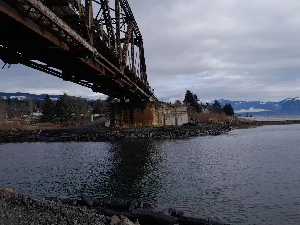
Bridge 1750.9, Skykomish River Gold Bar, WA S&F provided survey to replace an existing rail bridge over the Skykomish River. S&F established survey control, topographic mapping, and right-of-way determination along a 2.5-mile rail corridor, including the bridge, tracks, and adjacent access points. S&F also completed conventional surveys and 3D laser scanning of the existing bridge … Read more