405 & NE 4th Relocation

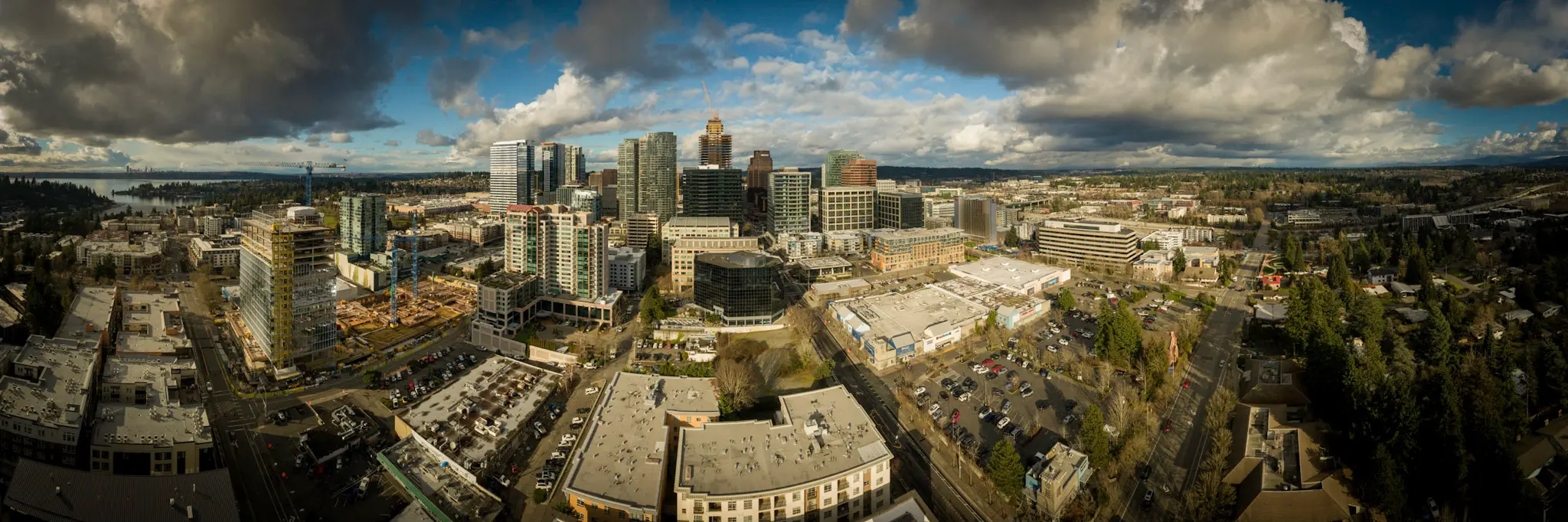
405 & NE 4th Relocation Bellevue, WA S&F conducted a site survey and FAA 1-A accuracy certification for a telecommunications relocation project near I-405 and NE 4th Street. Services included boundary and dimensional definition of the proposed cell-site area, contour and elevation mapping, identification of existing improvements and utilities, and preparation of NAD83-referenced deliverables to … Read more
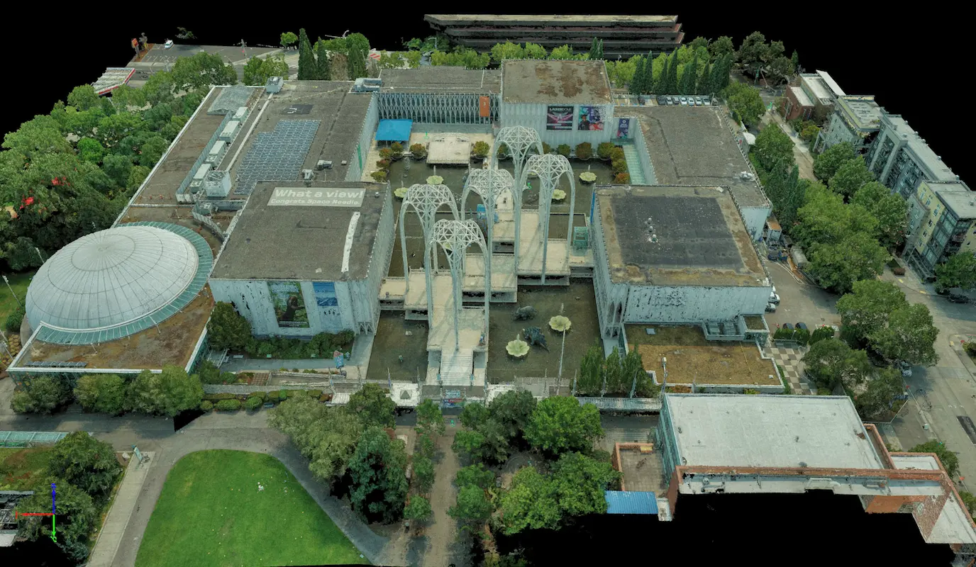
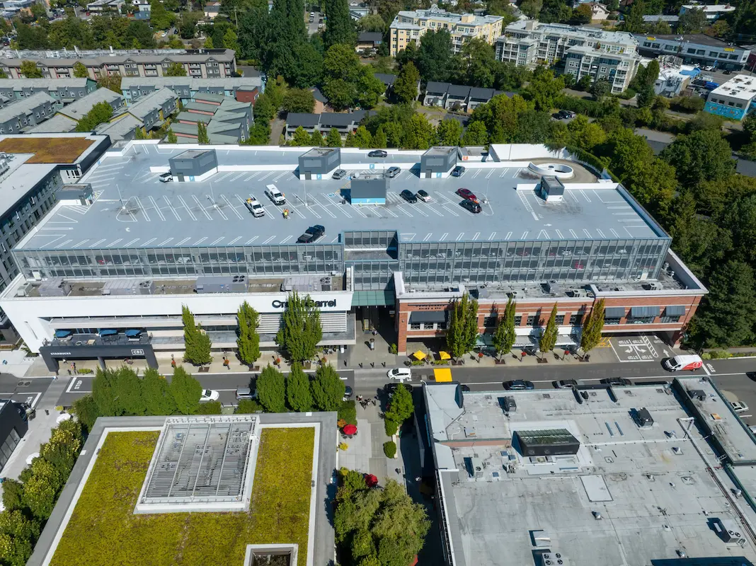
Pacific Science Center

Pacific Science Center Seattle, WA S&F performed a rooftop survey and FAA 1-A accuracy certification to support telecommunications infrastructure planning at the Pacific Science Center. Services included preparation of FAA 1-A documentation, topographic mapping of the proposed cell-site area, and incorporation of aerial photography and photogrammetric reference imagery to verify rooftop geometry, positional accuracy, and … Read more

Union Bay Relocation

Union Bay Relocation Seattle, WA S&F completed a detailed site survey supporting installation of a new rooftop telecommunications facility at University Village in Seattle. The work included boundary definition, vertical relief mapping, and location of improvements and utilities coordinates, supported by aerial photography and rooftop imagery used to document existing conditions, evaluate siting constraints, and … Read more

City of Lake Stevens 91st Ave SE – Safe Routes to School

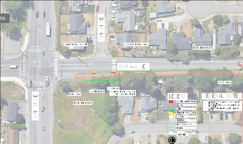
City of Lake Stevens 91st Ave SE – Safe Routes to School Lake Stevens, WA S&F is currently providing topographic surveying and right-of-way retracement along a 0.5-mile section of 91st Avenue SE in Lake Stevens as part of a Safe Routes to Schools (SRTS) project. The work supports new sidewalk improvements that enhance pedestrian safety … Read more

2026 Sidewalk Gaps

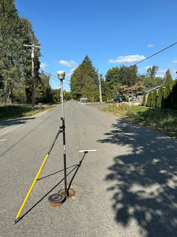
2026 Sidewalk Gaps North Bend, Washington S&F provided services to support sidewalk infill improvements intended to create continuous pedestrian access throughout targeted roadway corridors in the City of North Bend. Work includes topographic surveying, utility coordination, right-of-way retracement, and preparation of mapping and CAD base files for engineering design and construction planning. Services incorporate land … Read more

City of Kirkland – 108th Avenue

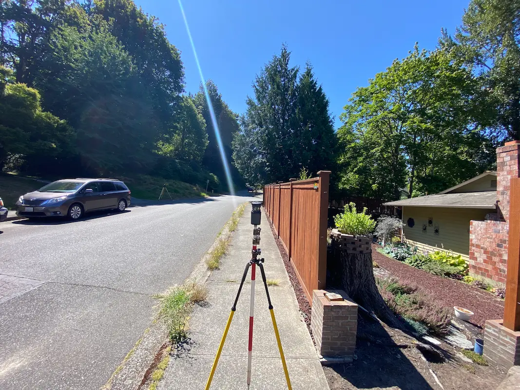
City of Kirkland – 108th Avenue Kirkland, WA S&F provided land surveying services in support of stormwater infrastructure improvements addressing flooding within the Juanita neighborhood. Scope includes topographic surveying, utility coordination and potholing, right-of-way retracement, and preparation of survey mapping and CAD deliverables along NE 120th Place, NE120th Street, 106th Avenue NE, and 108th Avenue … Read more

Garfield Street Stairway & Retaining Wall

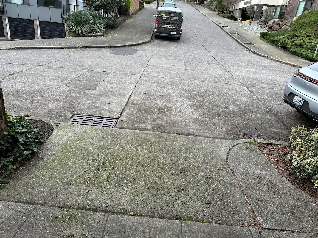
Garfield Street Stairway & Retaining Wall Seattle, WA S&F provided topographic surveying and right-of-way mapping for the City of Seattle Department of Transportation to support stairway and retaining wall improvements along Garfield Street between 5th Avenue North and Taylor Avenue North. Services included detailed 3D mapping within the public right-of-way and select adjacent properties, capturing … Read more

T-Mobile Park Terrestrial Scanning

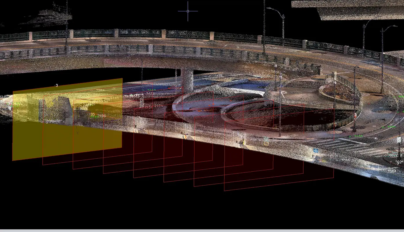
T-Mobile Park Terrestrial Scanning Seattle, WA S&F performed terrestrial laser scanning and topographic surveying to support design around T-Mobile Park and adjacent roadway and pedestrian infrastructure in Seattle. Services included establishing survey control, coordinating utility locates, collecting high-resolution scan data, and delivering a registered point cloud, design-level topographic mapping, and signed existing-conditions plans to support … Read more

San Juan Lateral Water Treatment Plant

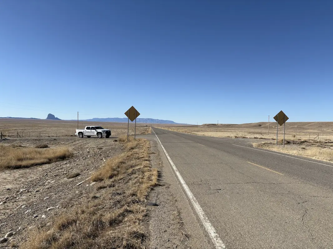
San Juan Lateral Water Treatment Plant Shiprock, NM A water treatment plant and waterline alignment are being constructed on NTUA lands. Initial survey support consisted of checking previous topographic survey data, and additional topographic survey of 16 acres, including a half mile of Navajo Highway 36. Our support continued through construction as the survey Quality … Read more

Casa Grande Substation

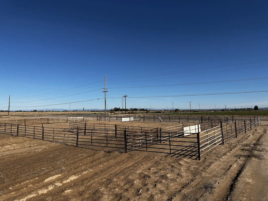
Casa Grande Substation Casa Grande, AZ Topographic survey and aerial imagery for approximately 60 acres to support access rights and design to a new substation. A full existing conditions map was produced including surface data, planimetrics and utilities. Additional survey support included preparing a legal description for the access easement and a boundary survey to … Read more