Multiple Solar Farms Ranging from 500–6,000 Acres
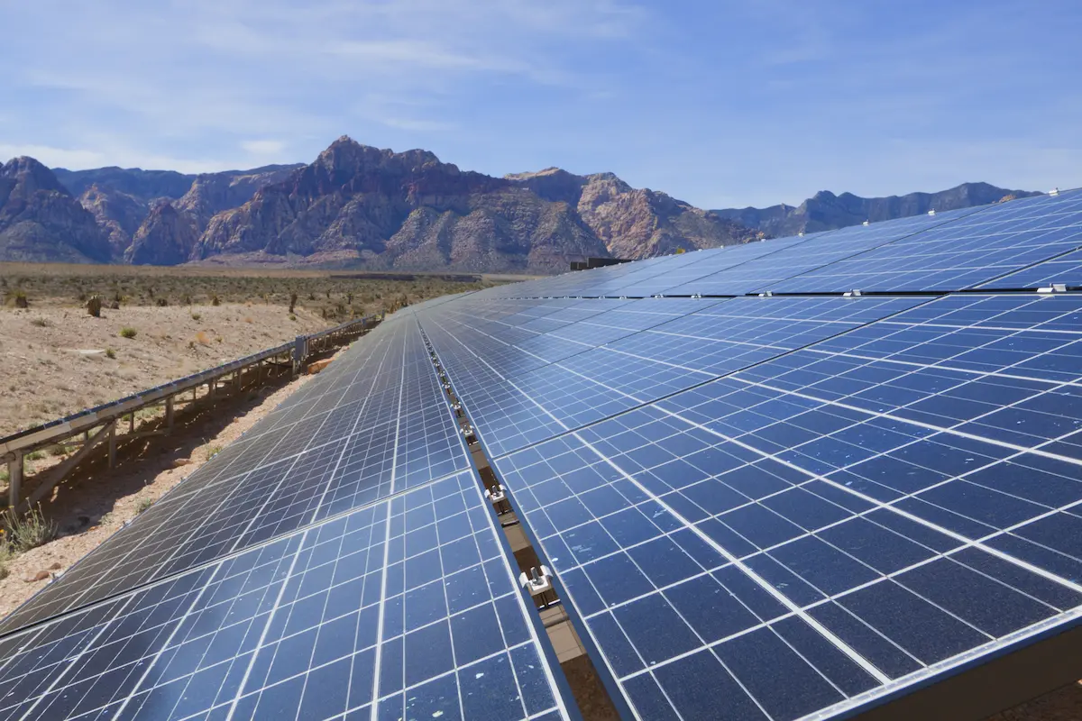
Multiple Solar Farms Ranging from 500-6,000 Acres Arizona & California S&F Land Services has performed topographic and boundary surveying for many Solar sites throughout Arizona and neighboring states. Often, time is of the essence on the larger sites. S&F decreases the timeline of work by utilizing UAV/drone (LiDAR and Imagery) to map these large sites. … Read more
Superstition Springs Center Redevelopment

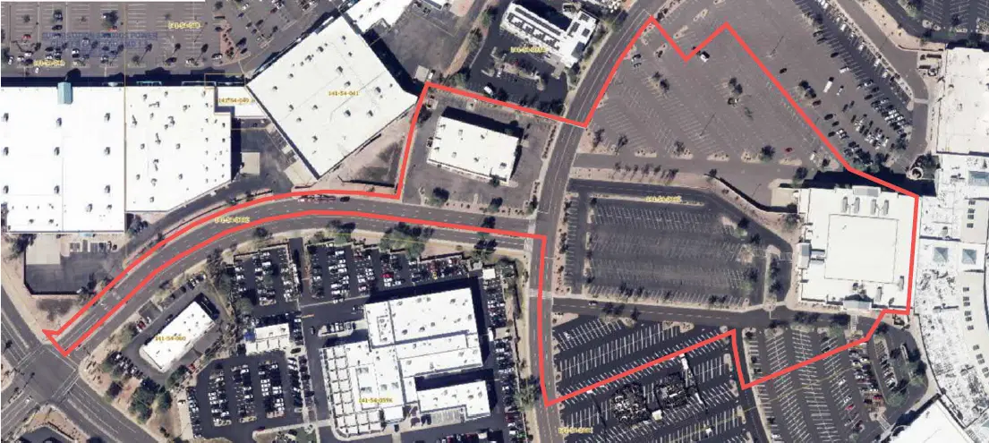
Superstition Springs Center Redevelopment Mesa, AZ S&F performed an ALTA/NSPS Land Title Survey for a 13-acre parcel within the Superstition Springs Center under an expedited one-week timeline. The team conducted a boundary survey and mapped planimetric features using drone-based imagery to produce an orthorectified image of the site. Field crews supplemented the aerial data by … Read more

U-Haul Tucson

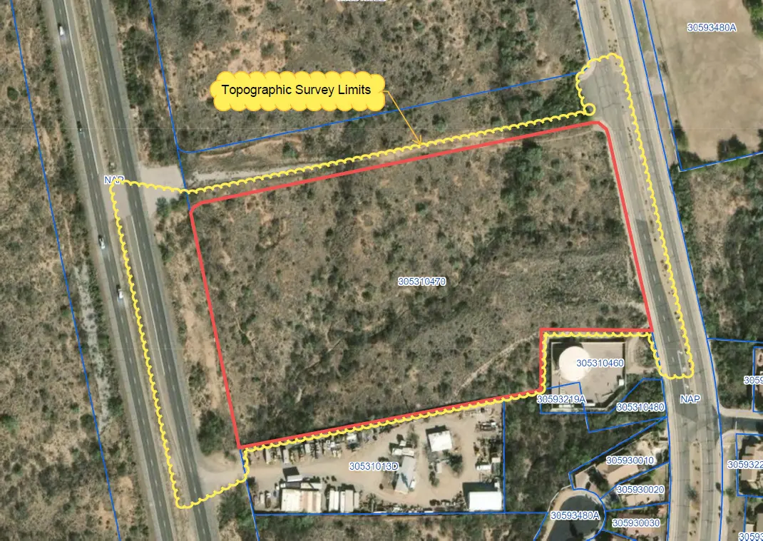
U-Haul Tucson Tucson, AZ 11 acre ALTA survey and full topographic survey for design purposes to support the design of a new U-Haul facility in North Tucson. The site consisted of a wash running through the middle of the property. UAV/drone mapping was used to create a dense point cloud of the surface – creating … Read more

Farwest Casino

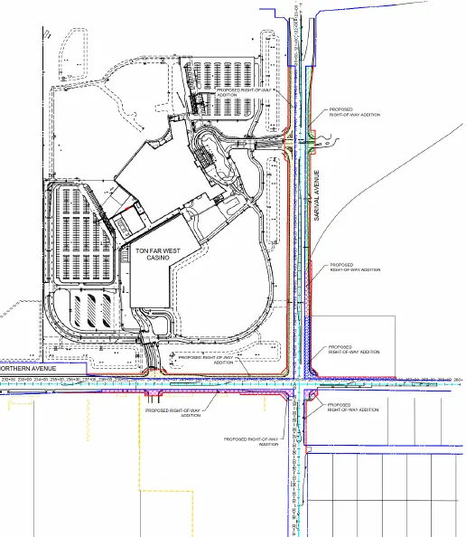
Farwest Casino Maricopa County, AZ ALTA and Topographic survey of the 100+ acre property. Extensive adjacentroadway topographic, underground utility and right-of-way survey was alsoincluded. S&F prepared multiple legal descriptions for right-of-way dedications,construction easements, and utility agreements. Project Details MARKETCommecial SERVICEALTA Surveys, Legal Description, Right-of-Way Establishments, Topographic Surveying LOCATIONMaricopa County, AZ

Town of Marana Heritage Park Water Treatment

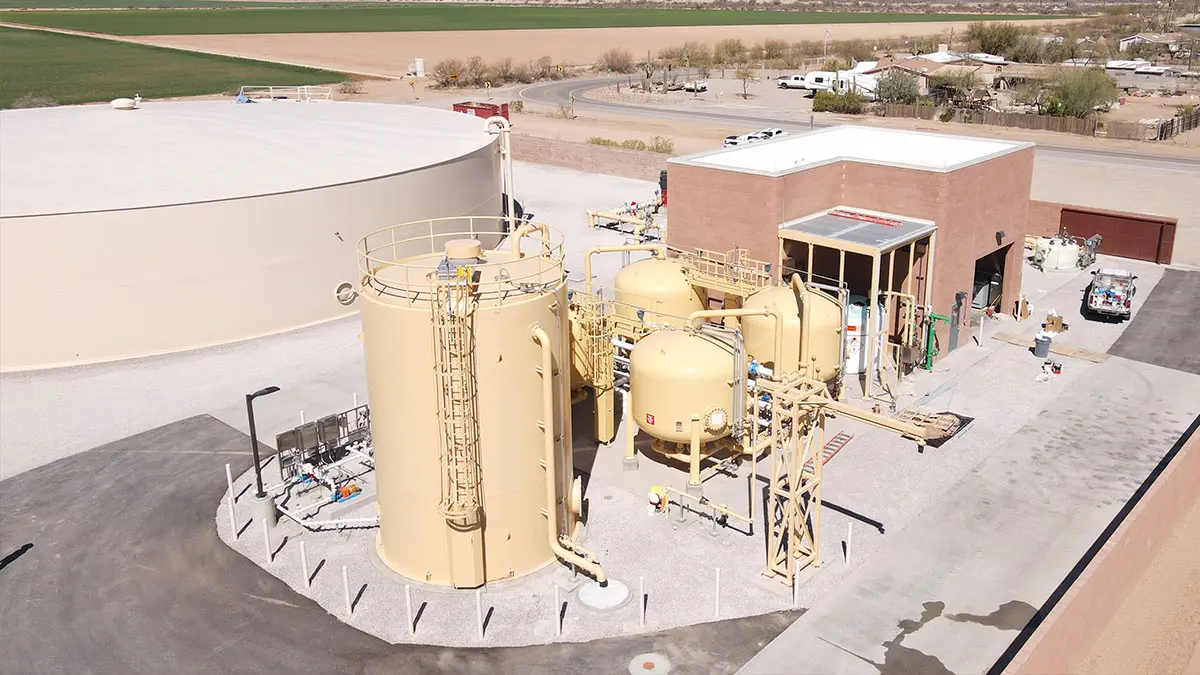
Town of Marana Heritage Park Water Treatment Marana, AZ A full topographic and boundary survey to support the design of centralized water treatment at Heritage Park in Marana, AZ. A combination of UAV/drone mapping and ground survey techniques are used to collect data for 14 acres of the park and nearby existing facility, along with … Read more

Transit Center (First Transit)

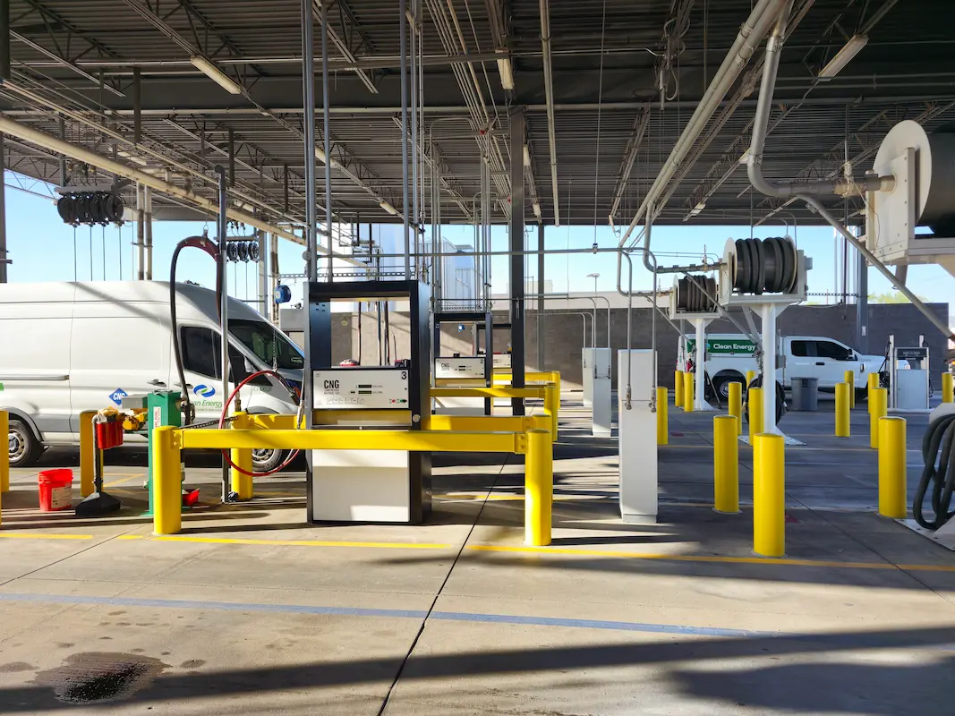
Transit Center (First Transit) Phoenix, AZ S&F performed a topographic and boundary survey for First Transit’s N 79th Avenue Bus Fueling and Maintenance center. This site consists of 25 acres of improved property, buildings, parking, fueling stations and additional facilities. S&F also surveyed adjacent N 79th Ave. Portions of the site were mapped with drone/imagery– … Read more

Peoria Municipal Operations Center

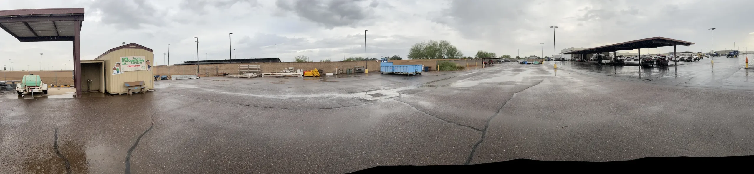
Peoria Municipal Operations Center Peoria, AZ ALTA Survey, Topographic Survey, underground utilities, boundary and easements for the City of Peoria’s Municipal Operations Center. This 20-acre site consisted of parking, buildings, staging, maintenance areas and adjacent roadways. A full topographic survey, including underground utilities, was provided. The entire site was flown with UAV/drone to produce a … Read more

W Drexel Road

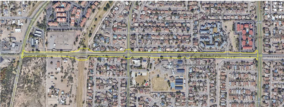
West Drexel Road Tucson, AZ S&F provided comprehensive surveying services for the W. Drexel Road corridor improvement to support transportation planning and design efforts for a key urban roadway. The work included a detailed topographic survey along the project alignment, capturing surface features, improvements, and above-ground utilities, supplemented by UAV/drone-based aerial imagery to produce a … Read more

Kyrene Road 2-Mile Topo

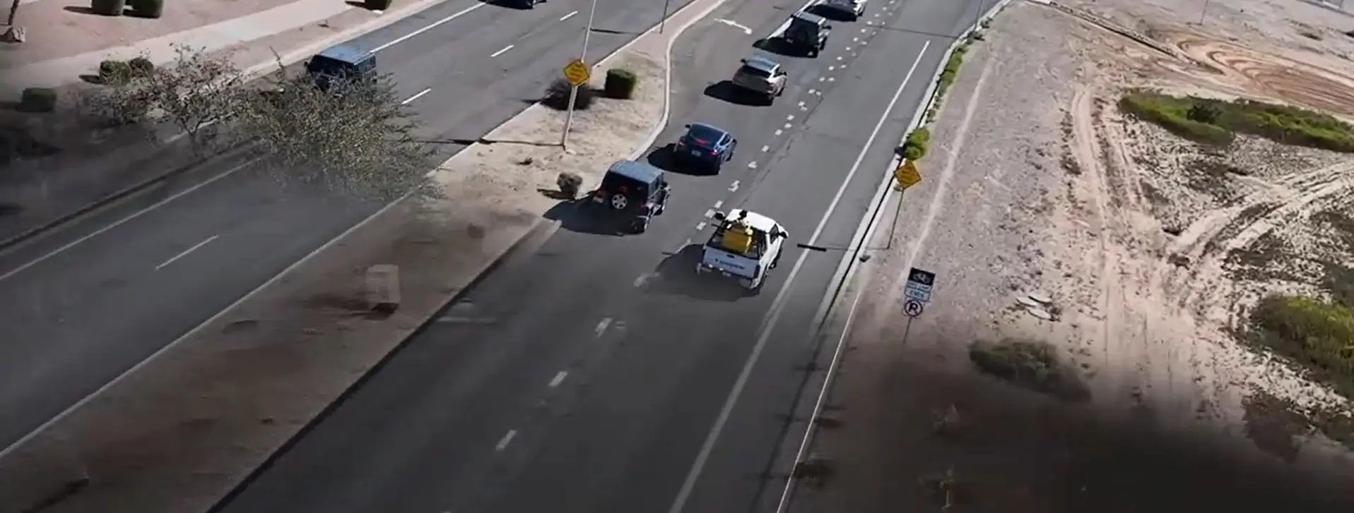
Kyrene Road 2-Mile Topo Chandler, AZ 2-miles of roadway on a 4-5 lane arterial roadway in Chandler, AZ. S&F utilized Mobile Mapping (vehicle mounted LiDAR and image sensors) to drive the alignment and collect dense point cloud data and imagery. The point cloud was controlled by survey control and Quality Assurance observations throughout the project. … Read more

HIR Kykotsmovi

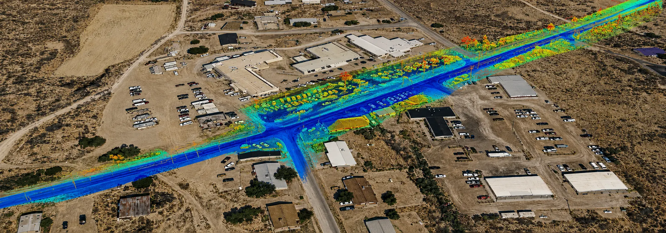
HIR Kykotsmovi 3 Mile Roadway Topo (FEATURED) Kykotsmovi, AZ 4-miles of roadway on a 2 lane arterial roadway in Kykotsmovi, AZ on Hopi land. S&F utilized Mobile Mapping (vehicle mounted LiDAR and image sensors) to drive the alignment and collect dense point cloud data and imagery. The point cloud was controlled by survey control and … Read more