

Terrestrial Scanning

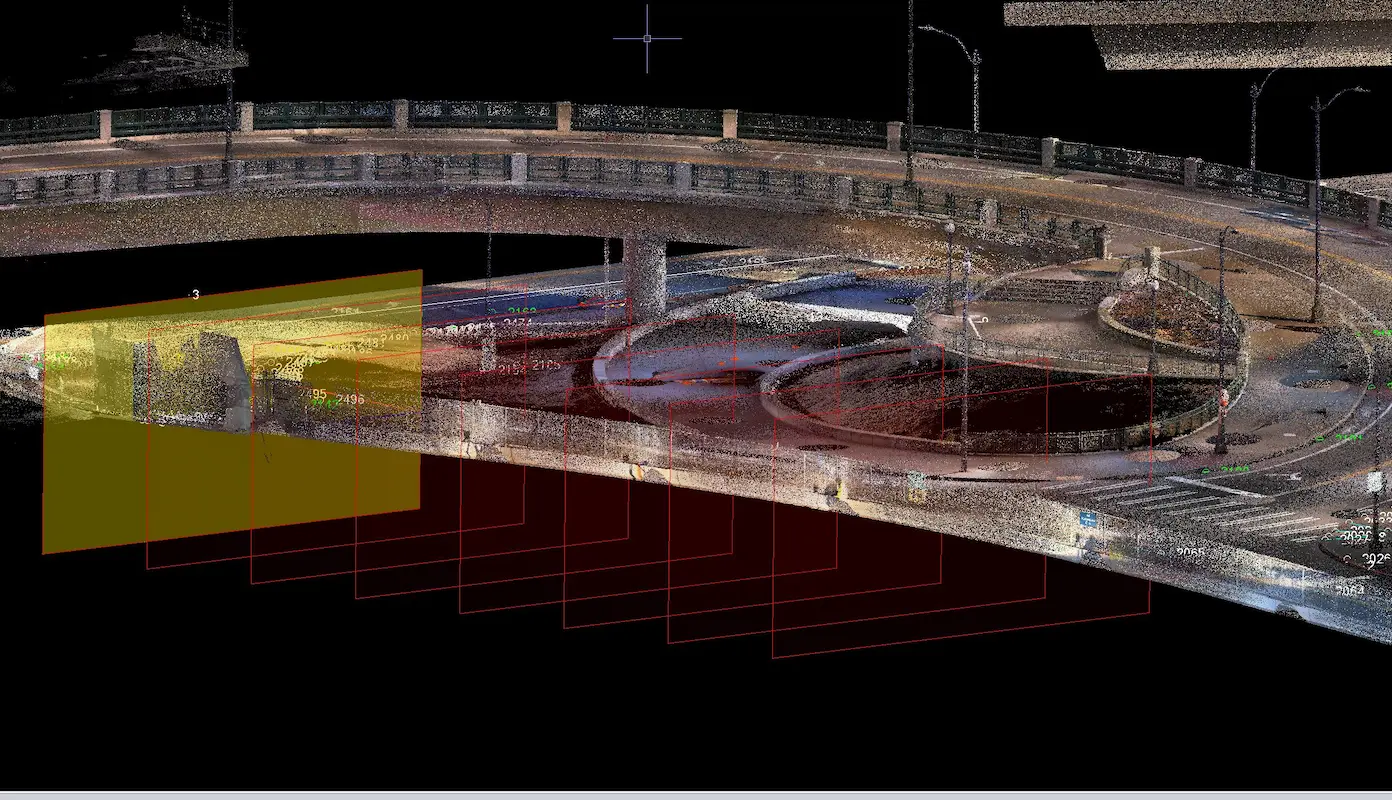
S&F provided laser scanning and topographic surveying around Seattle’s T-Mobile Park, delivering precise existing-conditions data to support roadway, pedestrian infrastructure, and site design.
Heritage Park

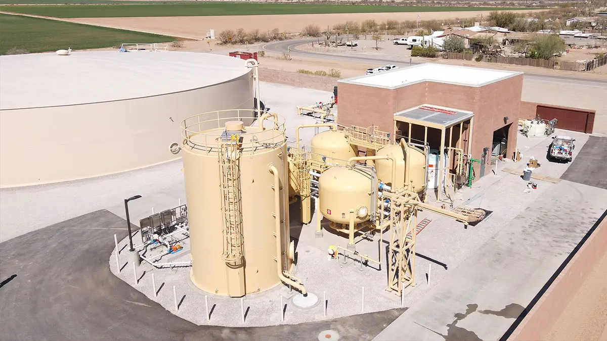
S&F provided topographic and boundary surveying using drone mapping and ground-based techniques across 14 acres and nearly two miles of pipeline alignment to support water treatment infrastructure design at Heritage Park in Marana, Arizona.

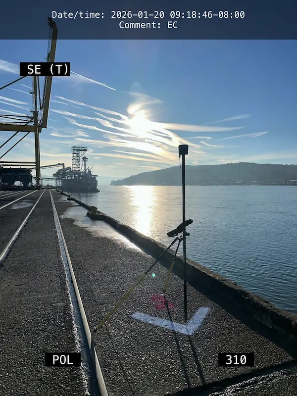
S&F is providing boundary surveying, historical deed research, and high-resolution aerial mapping across approximately 140 acres at the Port of Longview to support proposed Federal Navigation Channel modifications and future aquatic lease amendments.

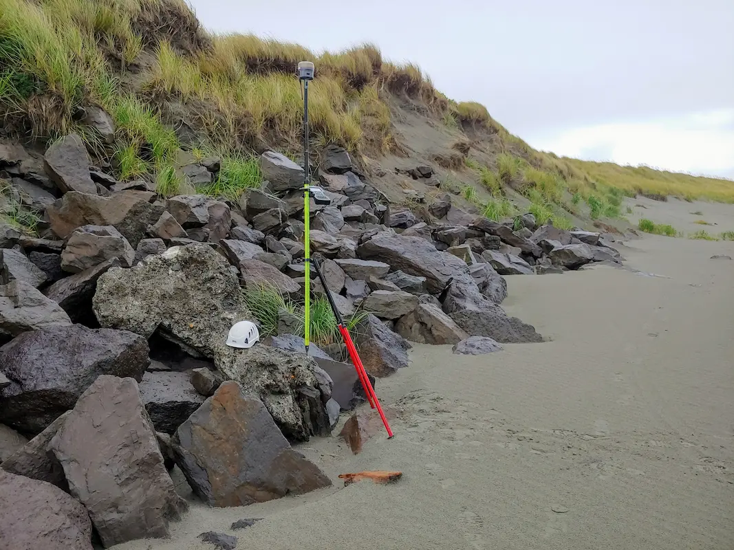
S&F supports the USACE South Jetty Rehabilitation Project through UAV mapping, hydrographic surveys, and detailed 3D modeling of the three-mile jetty, delivering construction monitoring, machine control data, and updated plans.