Maynard Sarber, PLS

Maynard Sarber, PLS Phoenix Survey Manager Maynard has spent 43 years doing construction surveying in Arizona with staking, layout, verification, and as-built documentation, most of it alongside heavy equipment, live traffic, and schedules that don’t move. He has led construction survey work at the ASARCO Ray Mine in Kearny, roadway improvements for the Hopi Nation … Read more

Doug Thomas

Doug Thomas IT Manager / Mapping Specialist Doug keeps S&F’s technology running and he’s also the firm’s CAD expert. With 25 years experience as a Civil Engineering Designer and Survey Technician, he maintains S&F’s CAD template, functionality, and licensing, and works fluently in AutoCAD Civil 3D, Bentley MicroStation, Photogrammetry, and GIS platforms behind the firm’s … Read more

San Juan Lateral Water Treatment Plant

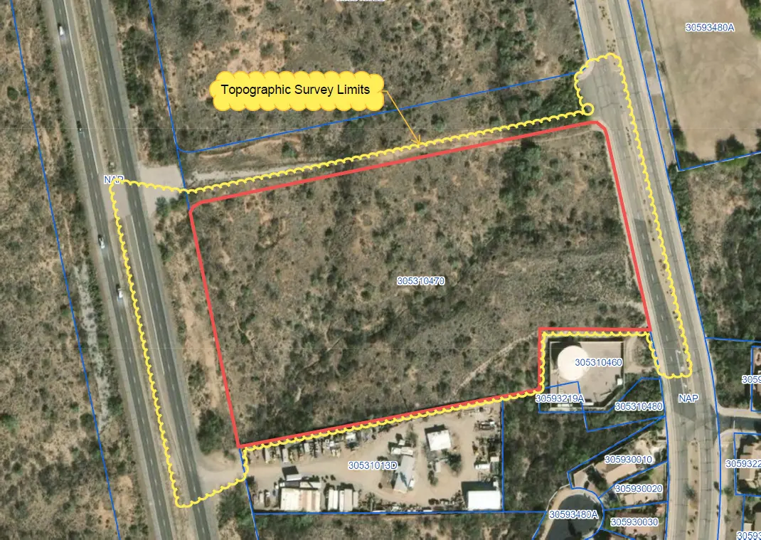
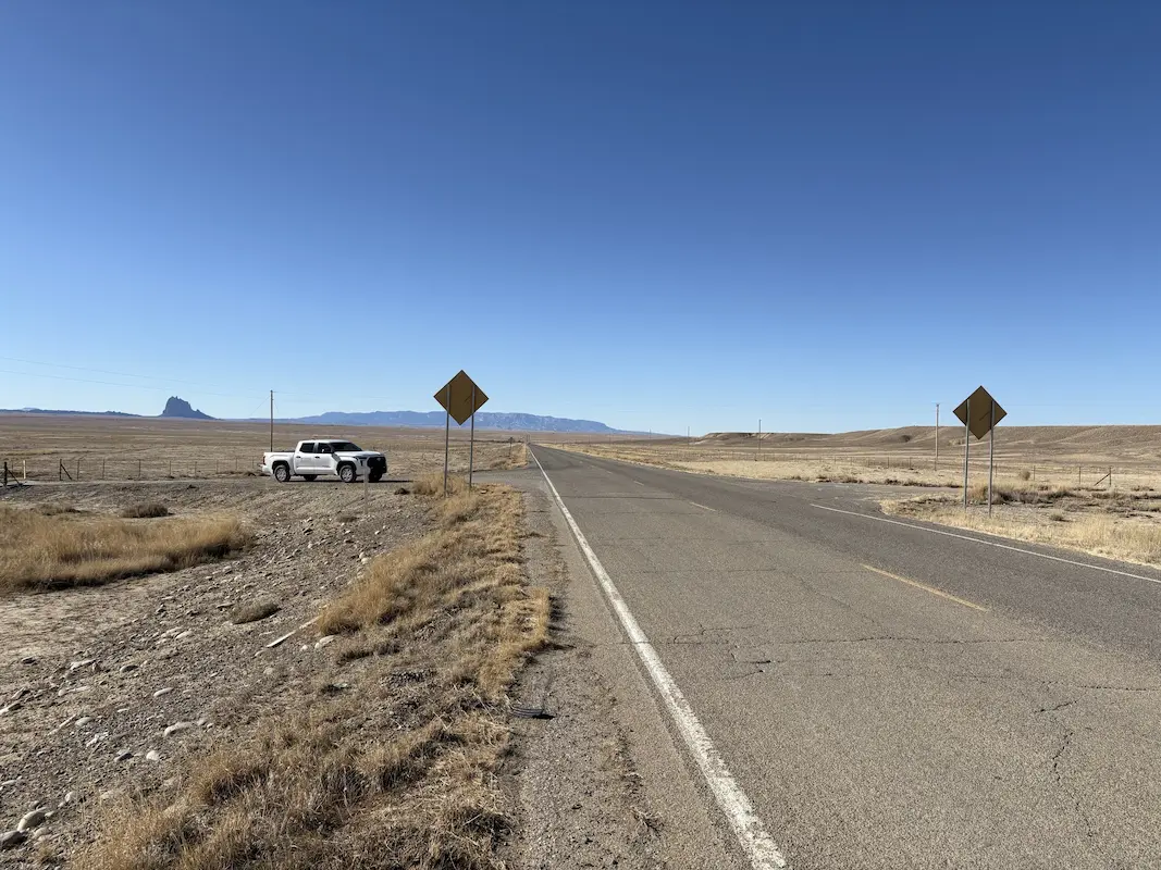
San Juan Lateral Water Treatment Plant Shiprock, NM A water treatment plant and waterline alignment are being constructed on NTUA lands. Initial survey support consisted of checking previous topographic survey data, and additional topographic survey of 16 acres, including a half mile of Navajo Highway 36. Our support continued through construction as the survey Quality … Read more

City of Casa Grande Monthly Drainage Mapping

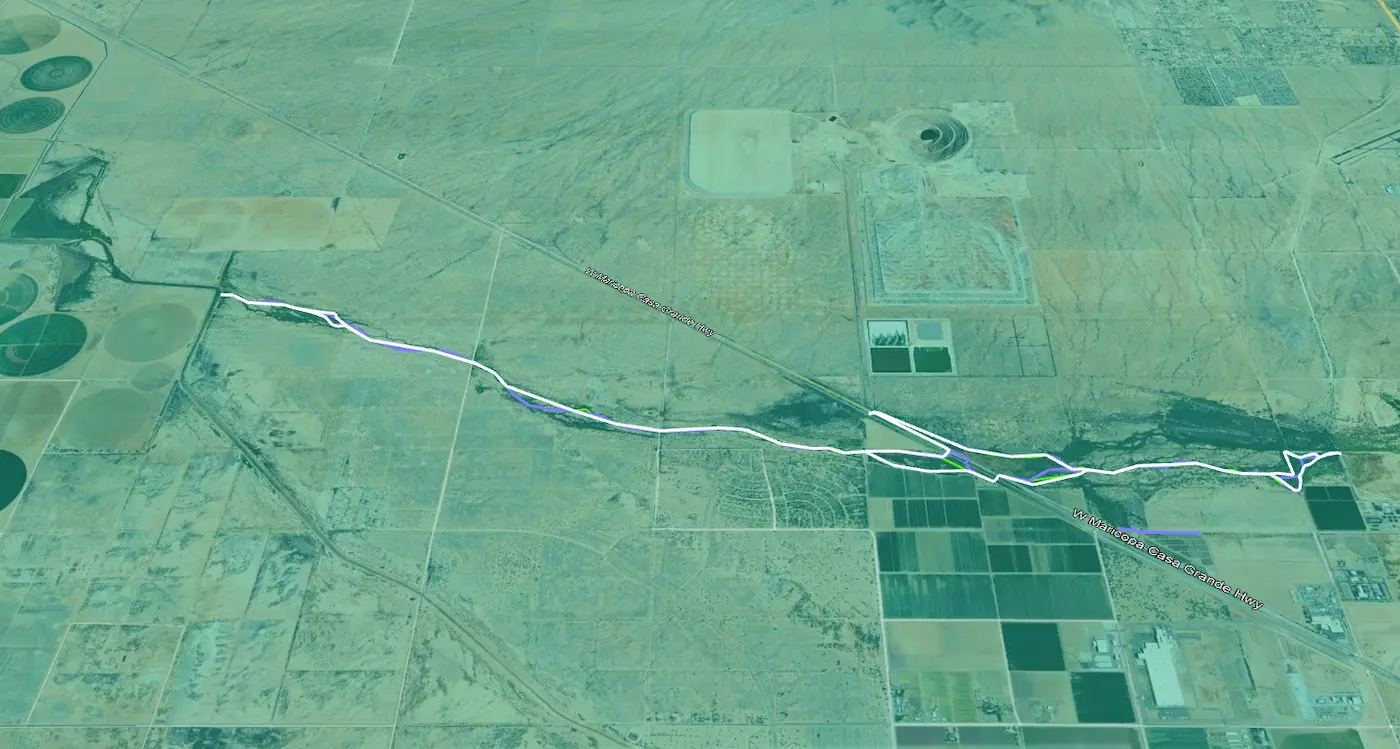
City of Casa Grande Monthly Drainage Mapping Casa Grande, AZ For over a year, S&F has been performing monthly mapping for 6 miles of drainage. The city is required to report to the Arizona Department of Water Resources. Using a virtual GPS network, our crews saved significant time in setup and remobilizations. A crew travels … Read more

Multiple Solar Farms Ranging from 500–6,000 Acres

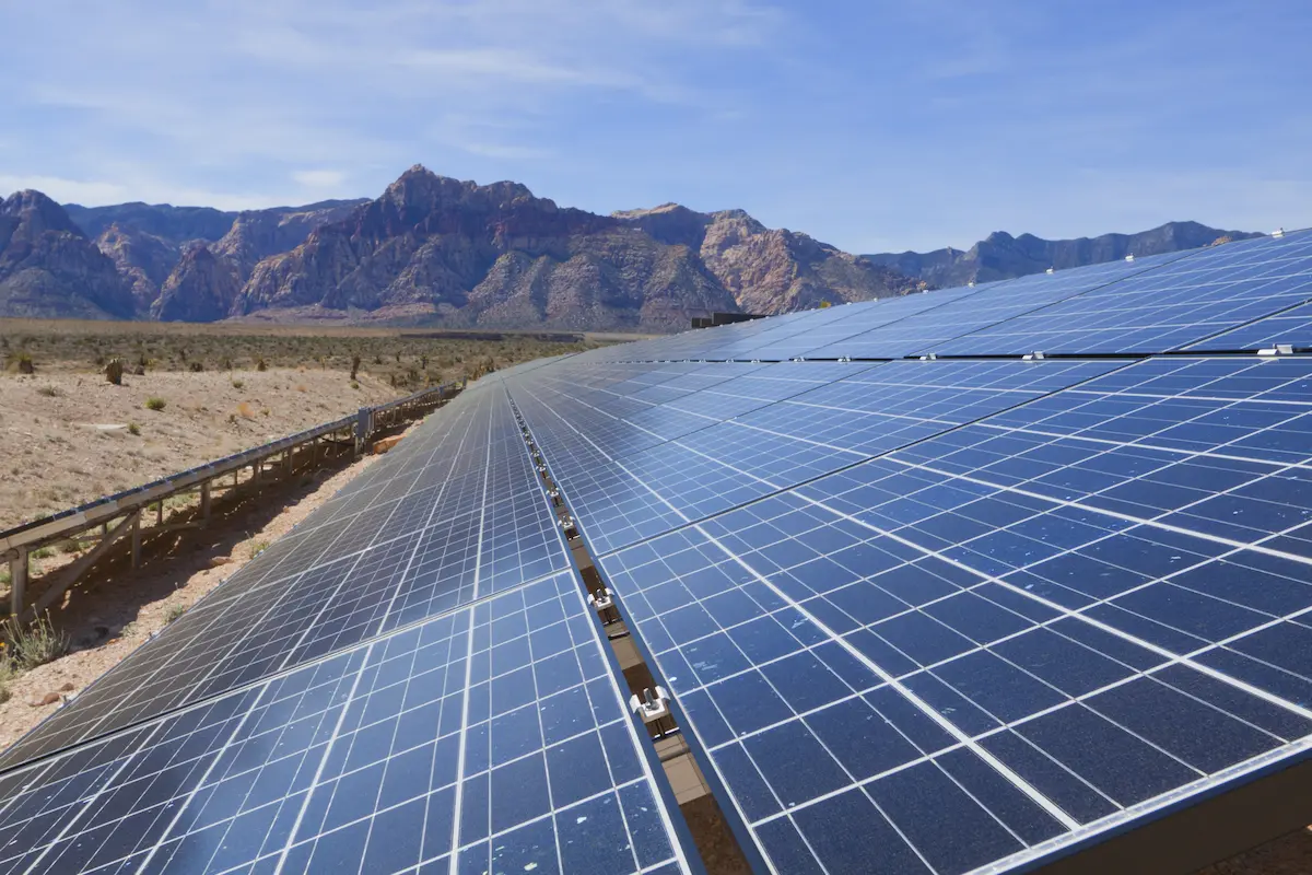
Multiple Solar Farms Ranging from 500-6,000 Acres Arizona & California S&F Land Services has performed topographic and boundary surveying for many Solar sites throughout Arizona and neighboring states. Often, time is of the essence on the larger sites. S&F decreases the timeline of work by utilizing UAV/drone (LiDAR and Imagery) to map these large sites. … Read more

U-Haul Tucson

U-Haul Tucson Tucson, AZ 11 acre ALTA survey and full topographic survey for design purposes to support the design of a new U-Haul facility in North Tucson. The site consisted of a wash running through the middle of the property. UAV/drone mapping was used to create a dense point cloud of the surface – creating … Read more

Transit Center (First Transit)

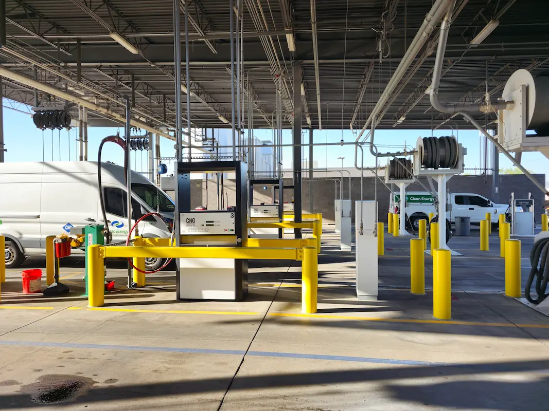
Transit Center (First Transit) Phoenix, AZ S&F performed a topographic and boundary survey for First Transit’s N 79th Avenue Bus Fueling and Maintenance center. This site consists of 25 acres of improved property, buildings, parking, fueling stations and additional facilities. S&F also surveyed adjacent N 79th Ave. Portions of the site were mapped with drone/imagery– … Read more

Peoria Municipal Operations Center

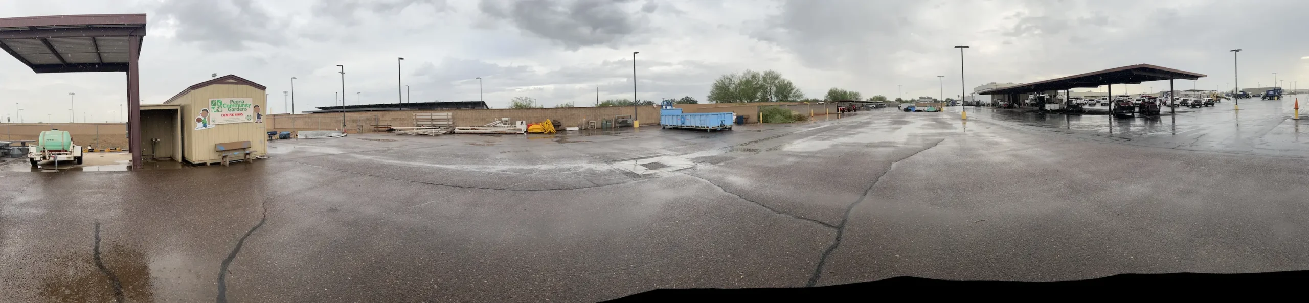
Peoria Municipal Operations Center Peoria, AZ ALTA Survey, Topographic Survey, underground utilities, boundary and easements for the City of Peoria’s Municipal Operations Center. This 20-acre site consisted of parking, buildings, staging, maintenance areas and adjacent roadways. A full topographic survey, including underground utilities, was provided. The entire site was flown with UAV/drone to produce a … Read more

Kyrene Road 2-Mile Topo

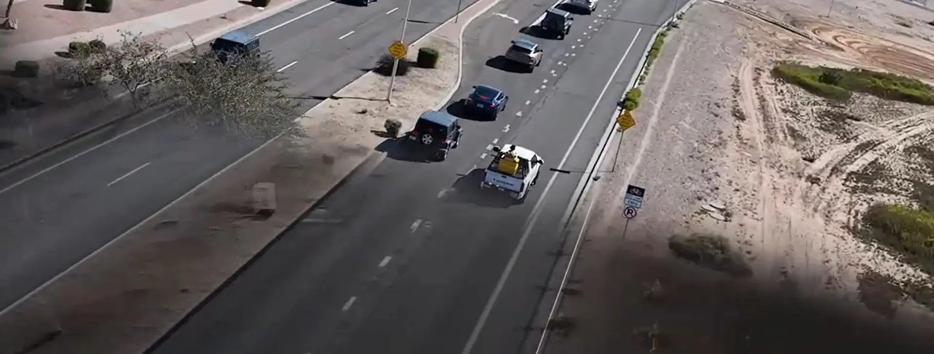
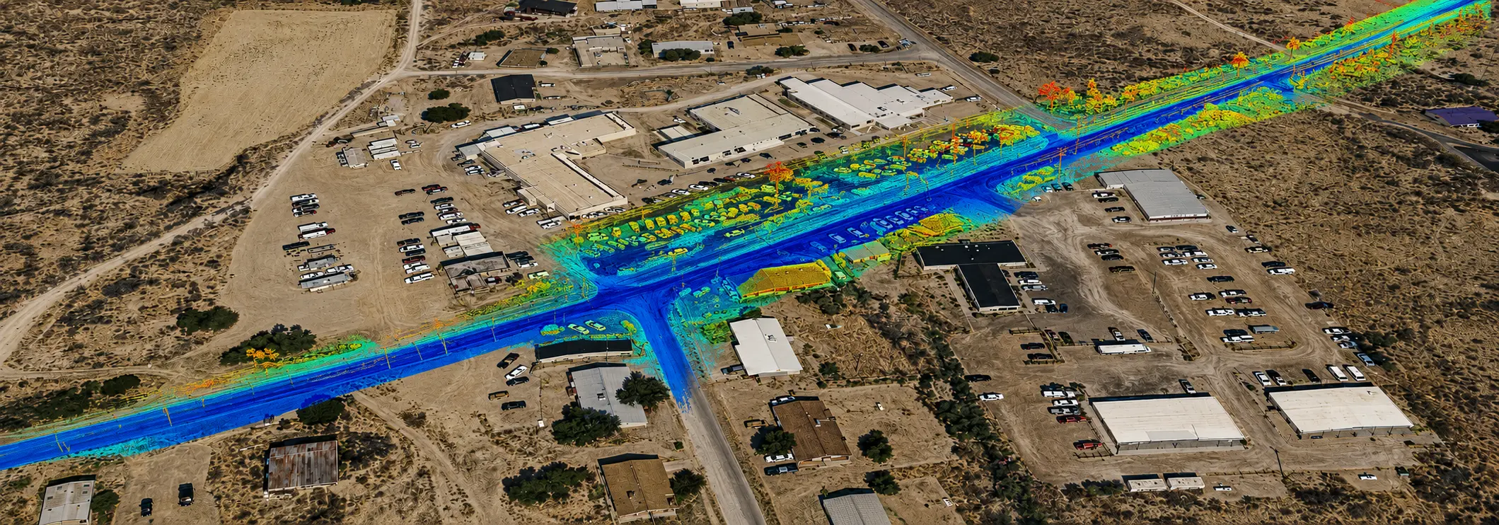
Kyrene Road 2-Mile Topo Chandler, AZ 2-miles of roadway on a 4-5 lane arterial roadway in Chandler, AZ. S&F utilized Mobile Mapping (vehicle mounted LiDAR and image sensors) to drive the alignment and collect dense point cloud data and imagery. The point cloud was controlled by survey control and Quality Assurance observations throughout the project. … Read more

HIR Kykotsmovi

HIR Kykotsmovi 3 Mile Roadway Topo (FEATURED) Kykotsmovi, AZ 4-miles of roadway on a 2 lane arterial roadway in Kykotsmovi, AZ on Hopi land. S&F utilized Mobile Mapping (vehicle mounted LiDAR and image sensors) to drive the alignment and collect dense point cloud data and imagery. The point cloud was controlled by survey control and … Read more