Sunset Village

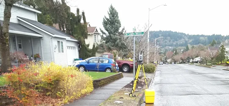
Sunset Village Gresham, OR S&F performed the survey support for the multi-phase, 300+ lot subdivision in Gresham, OR. Support includes preliminary platting, final platting, installation of monumentation, legal descriptions for easements and tracts, Topographic and Boundary survey, and ALTA Surveys. Off-site topographic survey for utility connections was performed along multiple routes. Project Details MARKETResidential SERVICEShort … Read more
Supersonic Everett

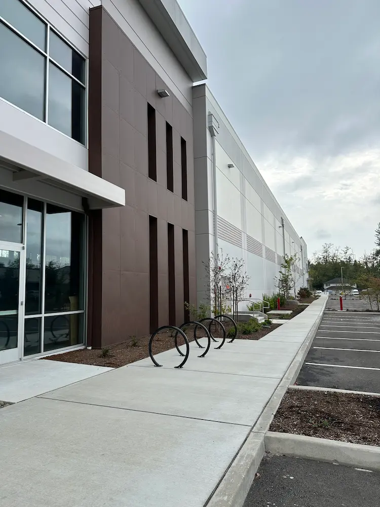
Supersonic Everett Snohomish County, WA We provided boundary and topographic surveying services to support the design and development of a commercial building in Snohomish County, Washington. Initial work included locating nearby boundary monuments, mapping existing site conditions, and identifying potential boundary encroachments. These surveys established the base mapping needed for site planning and design. Following … Read more

Four Corners Apartments

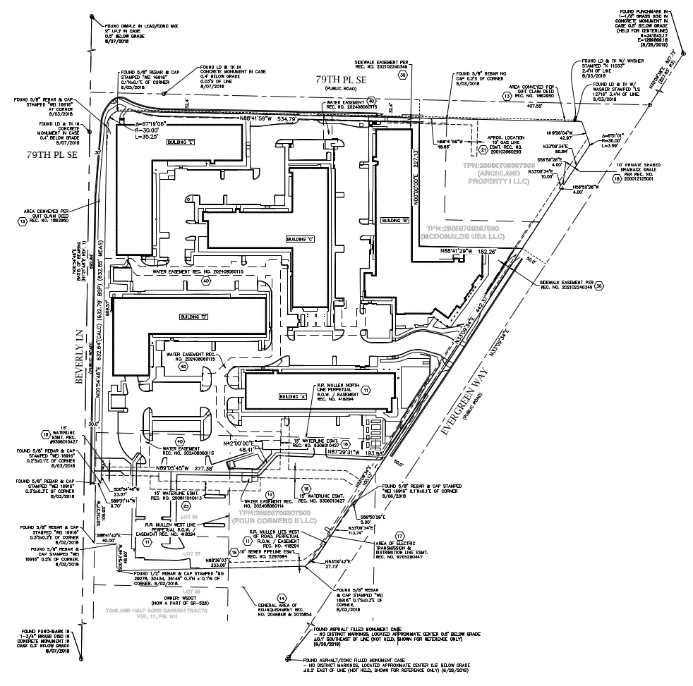
Four Corners Apartments Everett, WA For this multifamily development in Everett, Washington, our team supported design, construction, and ongoing property needs with a full range of surveying services. A boundary and topographic survey established property limits and mapped existing site features, providing the foundation for project design. As the development moved into construction, we provided … Read more

Zidell Yards

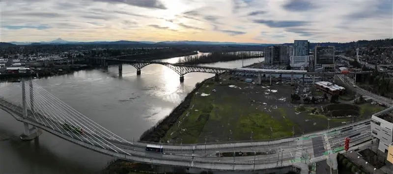
Zidell Yards Portland, OR S&F completed a comprehensive ALTA Survey for the 32-acre Zidell Yards property along Portland’s waterfront, a site currently being evaluated for a future MLB ballpark. Our team provided design-level topographic mapping, underground utility investigation, boundary resolution, and easement documentation to support early planning and feasibility. By delivering accurate, high-quality data at … Read more

Superstition Springs Center Redevelopment

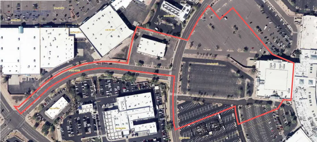
Superstition Springs Center Redevelopment Mesa, AZ S&F performed an ALTA/NSPS Land Title Survey for a 13-acre parcel within the Superstition Springs Center under an expedited one-week timeline. The team conducted a boundary survey and mapped planimetric features using drone-based imagery to produce an orthorectified image of the site. Field crews supplemented the aerial data by … Read more

U-Haul Tucson

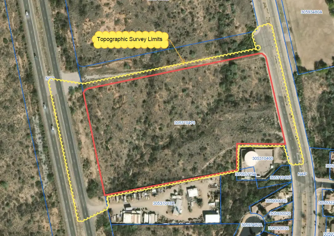
U-Haul Tucson Tucson, AZ 11 acre ALTA survey and full topographic survey for design purposes to support the design of a new U-Haul facility in North Tucson. The site consisted of a wash running through the middle of the property. UAV/drone mapping was used to create a dense point cloud of the surface – creating … Read more

Farwest Casino

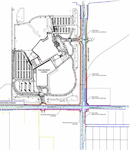
Farwest Casino Maricopa County, AZ ALTA and Topographic survey of the 100+ acre property. Extensive adjacentroadway topographic, underground utility and right-of-way survey was alsoincluded. S&F prepared multiple legal descriptions for right-of-way dedications,construction easements, and utility agreements. Project Details MARKETCommecial SERVICEALTA Surveys, Legal Description, Right-of-Way Establishments, Topographic Surveying LOCATIONMaricopa County, AZ

Peoria Municipal Operations Center

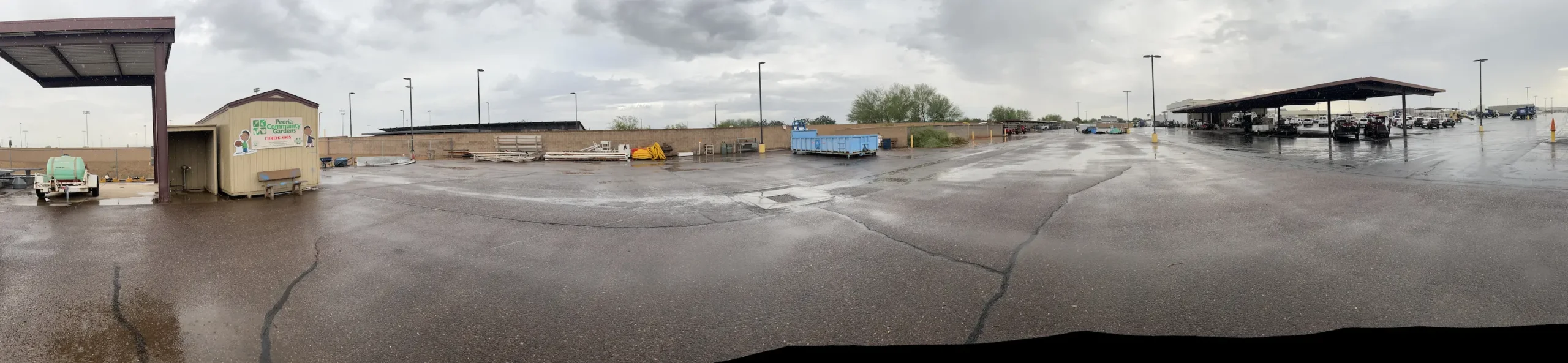
Peoria Municipal Operations Center Peoria, AZ ALTA Survey, Topographic Survey, underground utilities, boundary and easements for the City of Peoria’s Municipal Operations Center. This 20-acre site consisted of parking, buildings, staging, maintenance areas and adjacent roadways. A full topographic survey, including underground utilities, was provided. The entire site was flown with UAV/drone to produce a … Read more

Toquerville Transmission

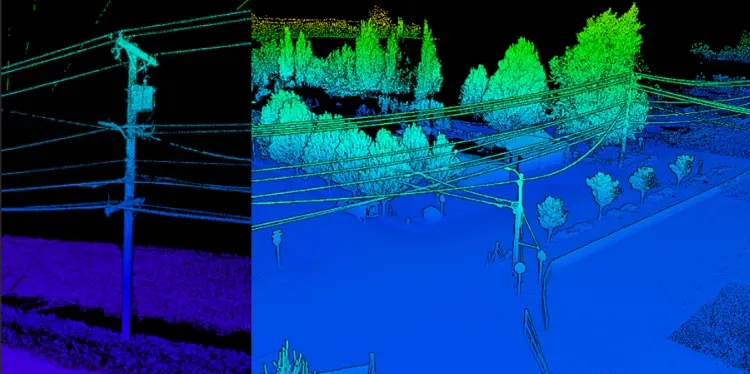
Toquerville Transmission Toquerville, UT (Completed 2026) S&F performed aerial mapping and ground-based survey for a transmission line corridor and future substation. The transmission line survey encompassed a 6-mile corridor and utilized aerial LiDAR to capture detailed terrain, utility, and transmission-line features. The resulting point cloud was classified in accordance with client coding, with required meteorological … Read more