MCR South Jetty

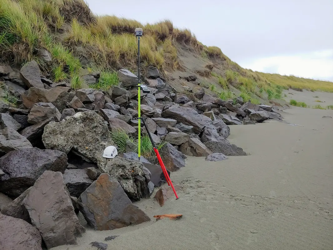
MCR South Jetty Clatsop County, OR S&F, in partnership with JE McAmis, was selected by USACE for the 5-year South Jetty Rehabilitation Project. S&F conducts near-monthly UAV flights to monitor construction progress and seasonal degradation, and performs UAS mapping over a 3-mile stretch of the Jetty. We also manage a subcontracted multi-beam hydrographic survey conducted … Read more
POV 2026 Utility Mapping

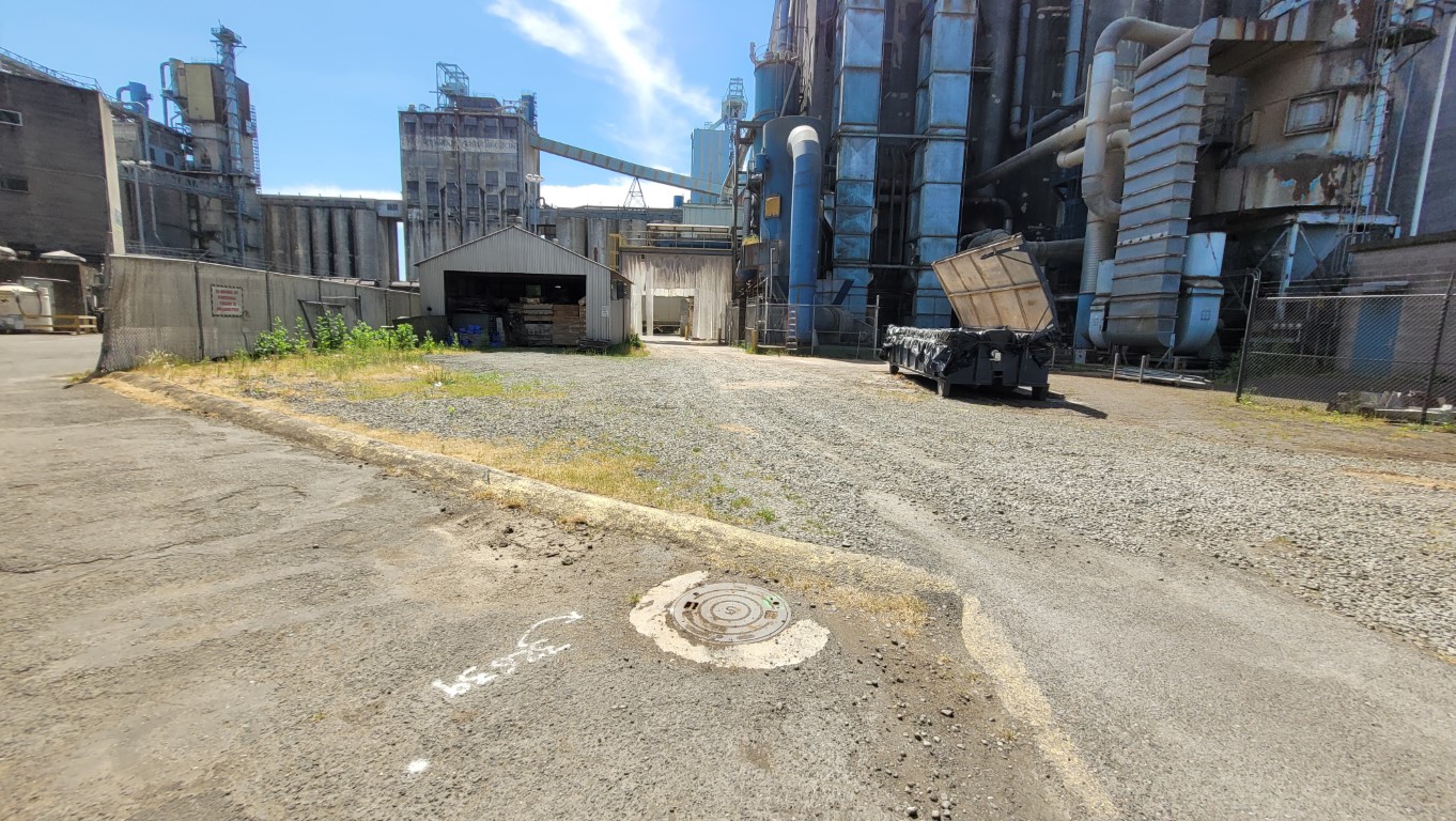
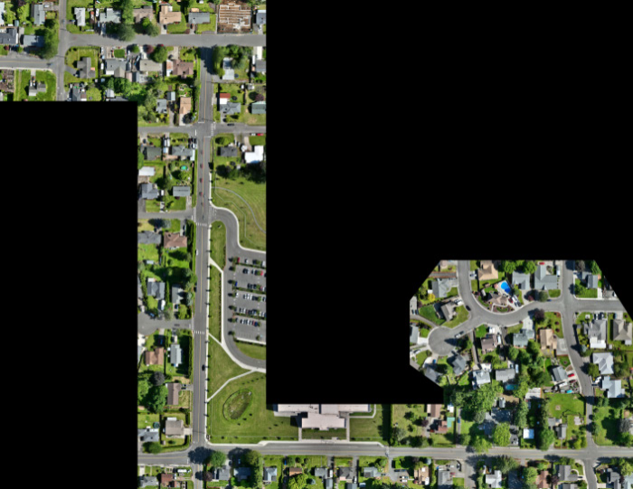
POV 2026 Utility Mapping Vancouver, WA S&F conducted utility as-built mapping for Terminals 3 through Terminal 5, covering approximately 300 acres. They coordinated private utility locates, mapped existing structures, and facilitated the creation of an infrastructure baseline for future Terminal 5 clients. During the course of this mapping effort, the Port of Vancouver Berth 17 … Read more

Truman Elementary

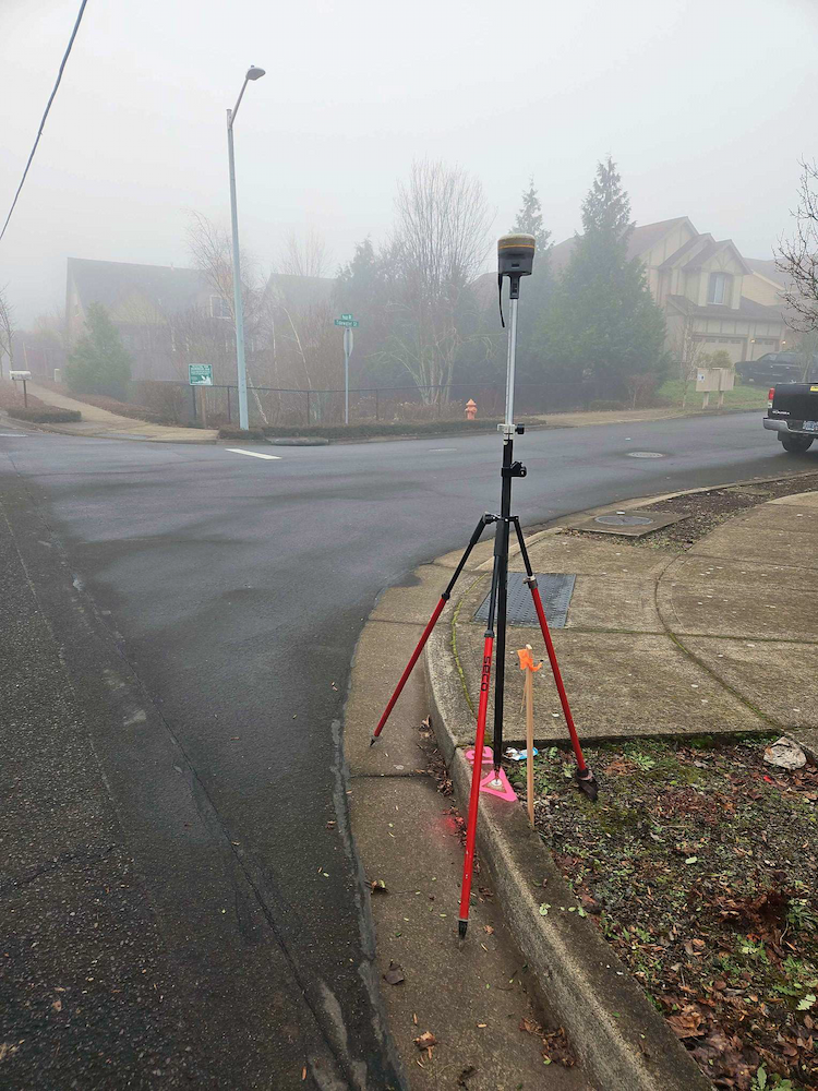
Truman Elementary Clark County, WA S&F was selected by Clark County to perform surveying and mapping, supporting their design of a sidewalk and access improvement project. The scope consists of topographic surveying, aerial/drone mapping, right-of-way resolution, underground utility investigation, monument preservation and legal descriptions. The project is approximately 3/4 mile long. Project Details MARKETEducation, Transportation … Read more

Oregon City PMUF

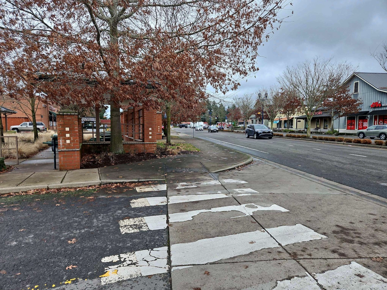
Oregon City PMUF Oregon City, OR Our recent survey work focused on ADA and roadway improvements, encompassing a detailed assessment of right-of-way and property corners, centerline monuments, and a comprehensive utility survey. By accurately establishing right-of-way boundaries and property corners, we ensured compliance with legal requirements while facilitating smooth project execution. The placement of centerline … Read more

Wilsonville Street Maintenance

Wilsonville Street Maintenance Wilsonville, OR S&F has been providing services to the City of Wilsonville on these annual projects for four years. Our work includes topographic surveys produced via UAV/drone and conventional survey methods. We also produce a control and monument recovery survey for monuments that could be disturbed during construction. We have worked on … Read more

Amisigger Road

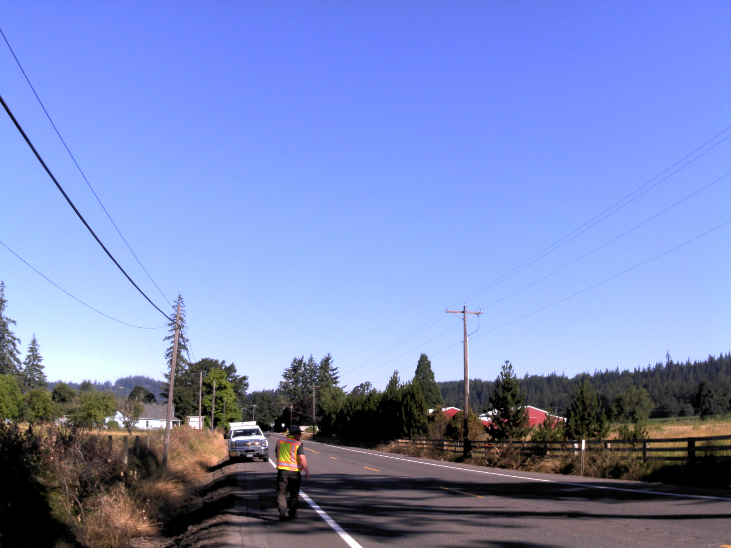
Amisigger Road Clackamas County, OR S&F completed a topographic survey of approximately 3,600 feet of Highway 224 and 1,600 feet of Amisigger Road, along with around 500 feet of creek limits, incorporating environmental consultants’ markings. The scope included retracing, resolving, and reestablishing 4,700 feet of right-of-way boundaries, creating a project centerline, right-of-way limits, and perpetuating … Read more

Supersonic Everett

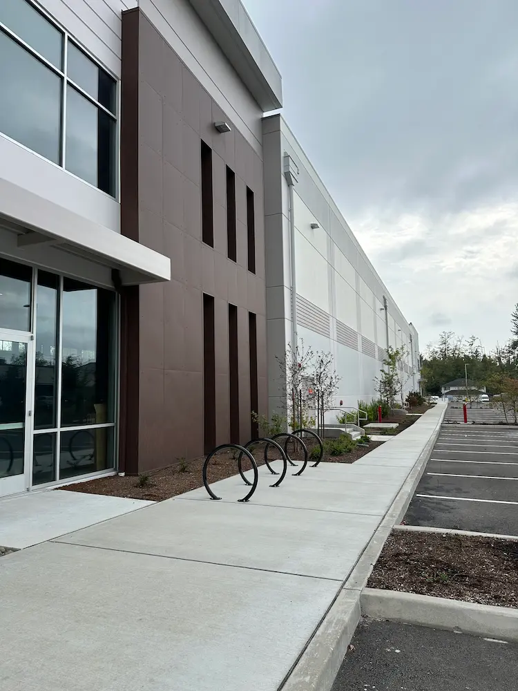
Supersonic Everett Snohomish County, WA We provided boundary and topographic surveying services to support the design and development of a commercial building in Snohomish County, Washington. Initial work included locating nearby boundary monuments, mapping existing site conditions, and identifying potential boundary encroachments. These surveys established the base mapping needed for site planning and design. Following … Read more

Four Corners Apartments

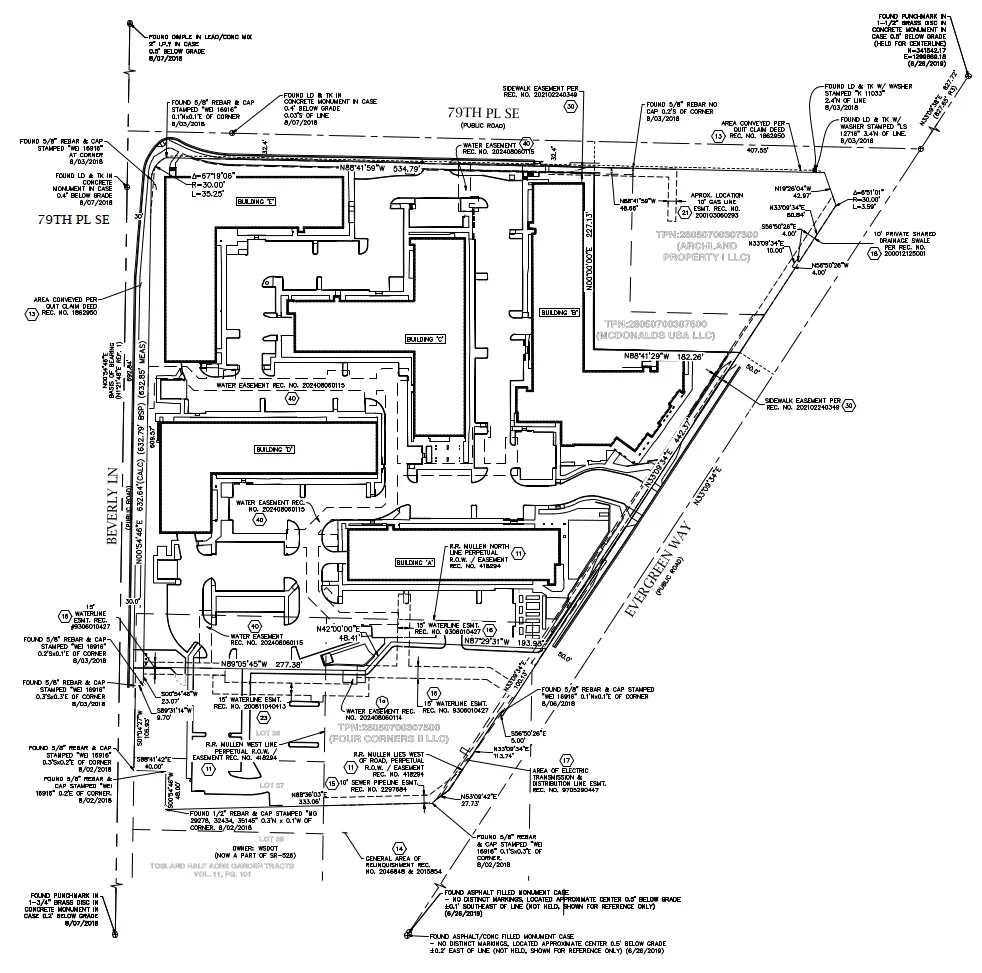
Four Corners Apartments Everett, WA For this multifamily development in Everett, Washington, our team supported design, construction, and ongoing property needs with a full range of surveying services. A boundary and topographic survey established property limits and mapped existing site features, providing the foundation for project design. As the development moved into construction, we provided … Read more

Bakerview Phase 2

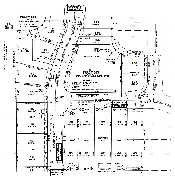
Bakerview Phase 2 Stanwood, WA Our team provided surveying services for a two-phase, 300-lot single-family residential development in Stanwood, Washington, supporting the project from initial design through construction and final plat recording. Services began with boundary and topographic surveys to establish existing conditions and provide the base mapping for site design. During construction, our team … Read more

Kachess Dam

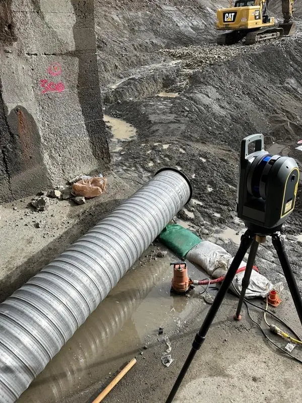
Kachess Dam Kittitas County, WA The project was underway and the prime contractor was struggling with survey data provided by the Bureau and others. They asked S&F to combine all of the existing data, prepare a single map/surface and compare it against the approved design plans to help identify discrepancies and future challenges based on … Read more