QIN Upper Village Water System Improvements

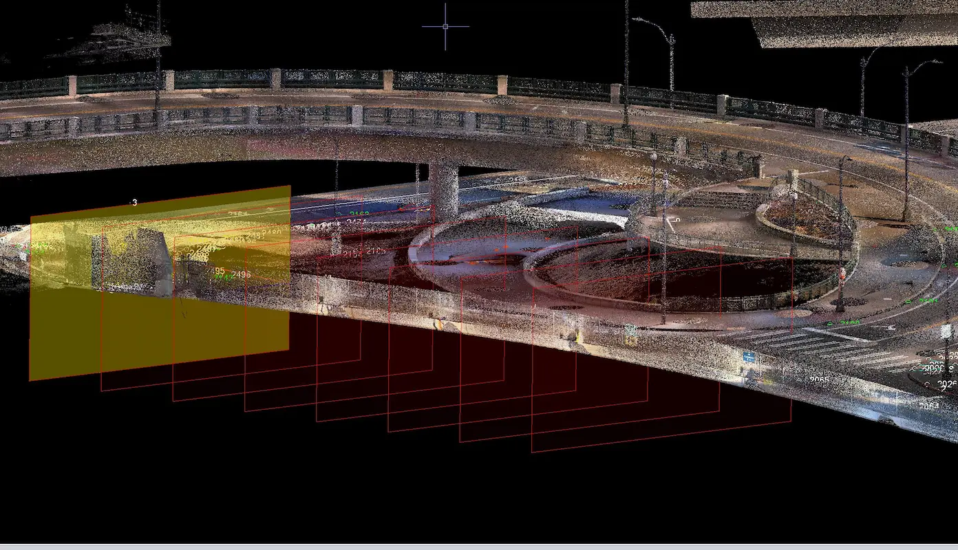
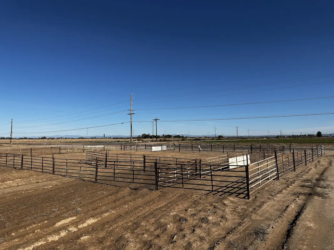
QIN Upper Village Water System Improvements Quinault Indian Nation, WA S&F performed a detailed topographic survey in support of water system improvements within the SE Energy Park area of the Quinault Indian Nation. The survey covered the site, an access route, and a new roadway connection off Kla Ook Wa Drive. The scope included surface … Read more
Port of Chehalis Bishop Road

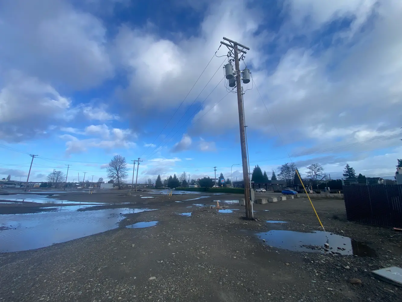
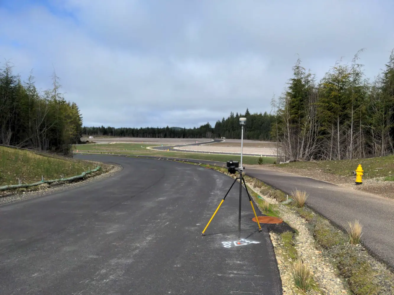
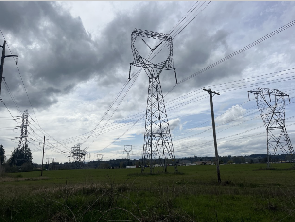
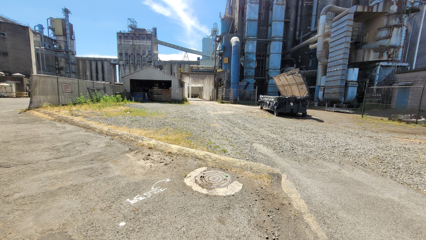
Port of Chehalis Bishop Road Chehalis, Washington This project for the Port of Chehalis comprised of an existing conditions andboundary retracement survey. We recovered boundary monuments, ordered publicutility locates, and did a complete survey of the site topography. Publicly availableas-built plans were used in conjunction with maps from utility locators to reconstructthe utility layout, and … Read more

POV 2026 Utility Mapping

POV 2026 Utility Mapping Vancouver, WA S&F conducted utility as-built mapping for Terminals 3 through Terminal 5, covering approximately 300 acres. They coordinated private utility locates, mapped existing structures, and facilitated the creation of an infrastructure baseline for future Terminal 5 clients. During the course of this mapping effort, the Port of Vancouver Berth 17 … Read more

SSA Tacoma Terminal

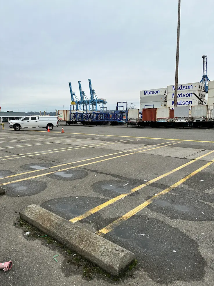
SSA Tacoma Terminal Tacoma, WA Utilizing TWIC certified staff, S&F completed full topographic and utility surveys for ~50 proposed light pole locations. S&F coordinated private utility locates, as well as access schedule with the client and Port to ensure timely deliverables used for final civil design of the proposed infrastructure. Project Details MARKETCommercial, Transportation SERVICEExisting … Read more

Kachess Dam

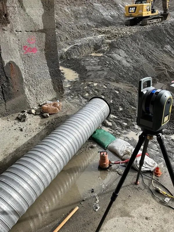
Kachess Dam Kittitas County, WA The project was underway and the prime contractor was struggling with survey data provided by the Bureau and others. They asked S&F to combine all of the existing data, prepare a single map/surface and compare it against the approved design plans to help identify discrepancies and future challenges based on … Read more

Bellevue-Issaquah Pipeline Relocation at Lewis Creek

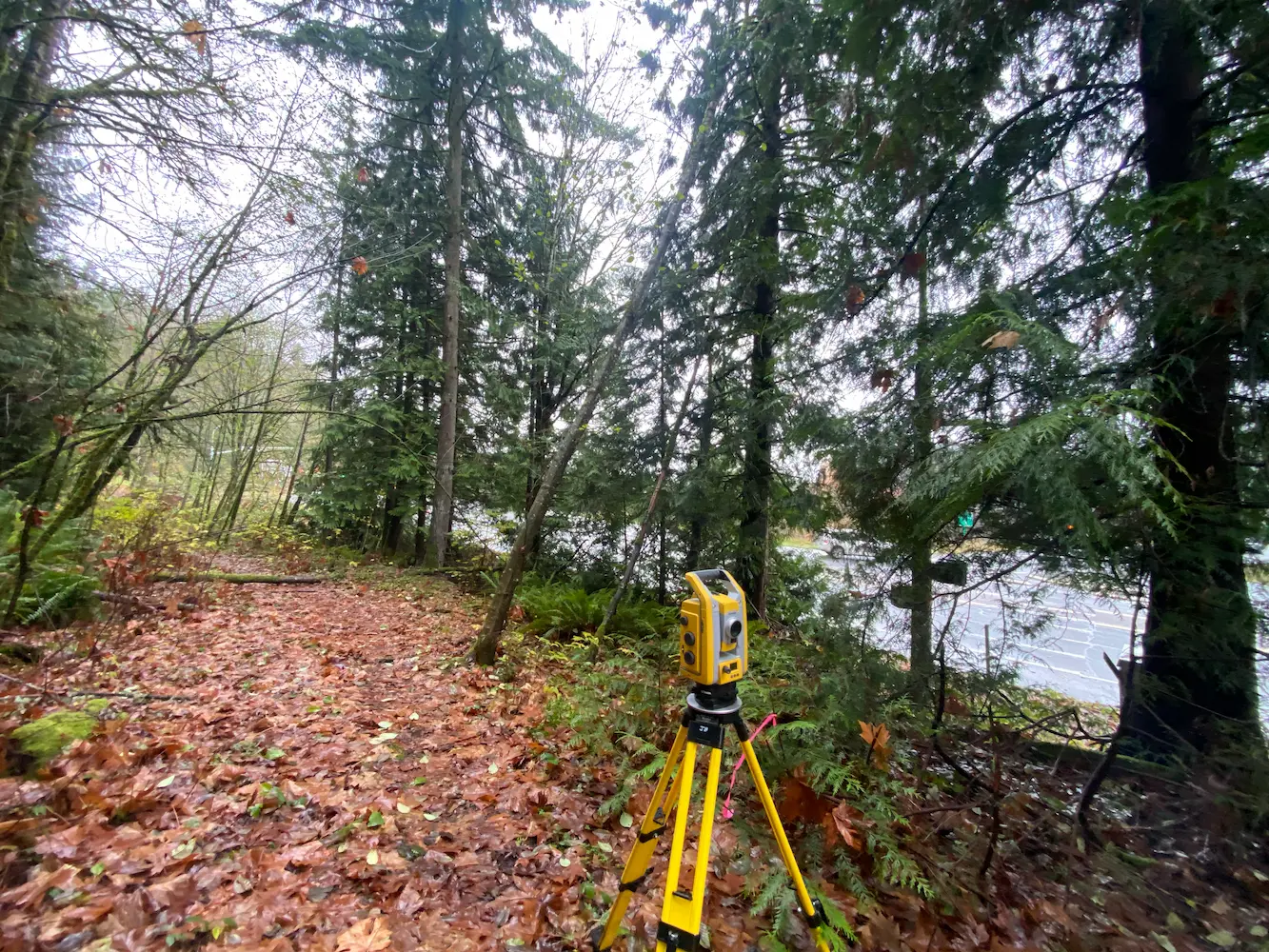
Bellevue-Issaquah Pipeline Relocation at Lewis Creek Bellevue & Issaquah, WA S&F provided topographic survey and right-of-way retracement of Washington State Department of Transportation (WSDOT) right-of-way within SE Newport Way, Lakemont Blvd SE, and I-90 Interchange at Lewis Creek for Cascade Water Alliance 24” Bellevue-Issaquah Pipeline Relocation project. Scope of work included utility survey, pothole survey, … Read more

BNSF Auburn Yard

BNSF Auburn Yard Auburn, WA S&F provided surveying and mapping of the BNSF Auburn Yard IMF needed to design new infrastructure and IMF loading and parking. Survey of the 220 acre IMF included ground-based survey of all existing rail features and grade crossings as well as collecting low altitude high resolution aerial imagery with LiDAR … Read more

T-Mobile Park Terrestrial Scanning

T-Mobile Park Terrestrial Scanning Seattle, WA S&F performed terrestrial laser scanning and topographic surveying to support design around T-Mobile Park and adjacent roadway and pedestrian infrastructure in Seattle. Services included establishing survey control, coordinating utility locates, collecting high-resolution scan data, and delivering a registered point cloud, design-level topographic mapping, and signed existing-conditions plans to support … Read more

Casa Grande Substation

Casa Grande Substation Casa Grande, AZ Topographic survey and aerial imagery for approximately 60 acres to support access rights and design to a new substation. A full existing conditions map was produced including surface data, planimetrics and utilities. Additional survey support included preparing a legal description for the access easement and a boundary survey to … Read more