Industrial Re-Use Pipeline

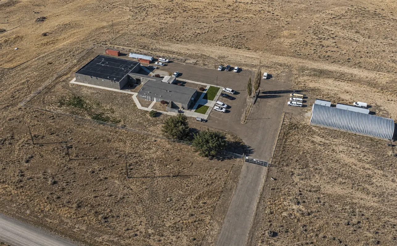
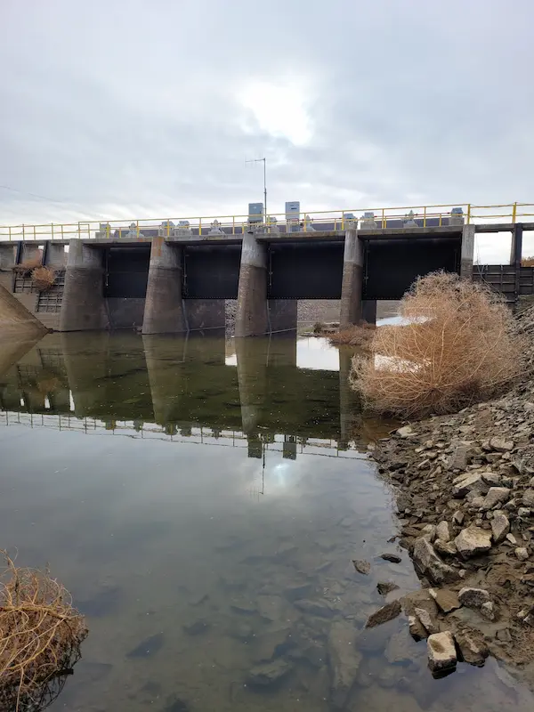
Industrial Re-Use Pipeline Quincy, WA S&F is providing full survey support for a 13-mile industrial re-use pipeline project in Quincy and the surrounding areas of Grant County. The pipeline system, overseen by the Washington State Department of Ecology, transports treated wastewater from a food processing facility to irrigation ponds for agricultural reuse. Our scope includes … Read more
405 & NE 4th Relocation

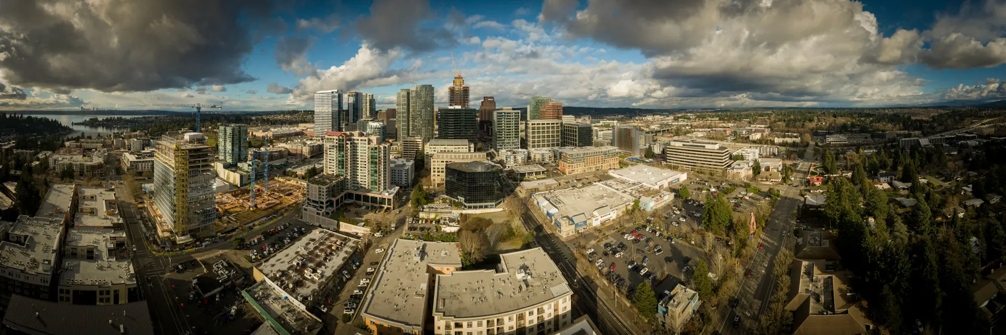
405 & NE 4th Relocation Bellevue, WA S&F conducted a site survey and FAA 1-A accuracy certification for a telecommunications relocation project near I-405 and NE 4th Street. Services included boundary and dimensional definition of the proposed cell-site area, contour and elevation mapping, identification of existing improvements and utilities, and preparation of NAD83-referenced deliverables to … Read more

Union Bay Relocation

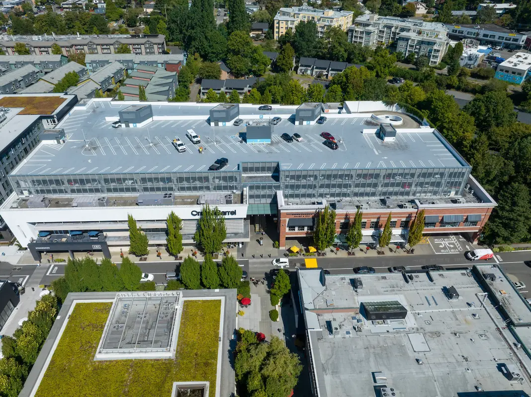
Union Bay Relocation Seattle, WA S&F completed a detailed site survey supporting installation of a new rooftop telecommunications facility at University Village in Seattle. The work included boundary definition, vertical relief mapping, and location of improvements and utilities coordinates, supported by aerial photography and rooftop imagery used to document existing conditions, evaluate siting constraints, and … Read more

City of Kirkland – 108th Avenue

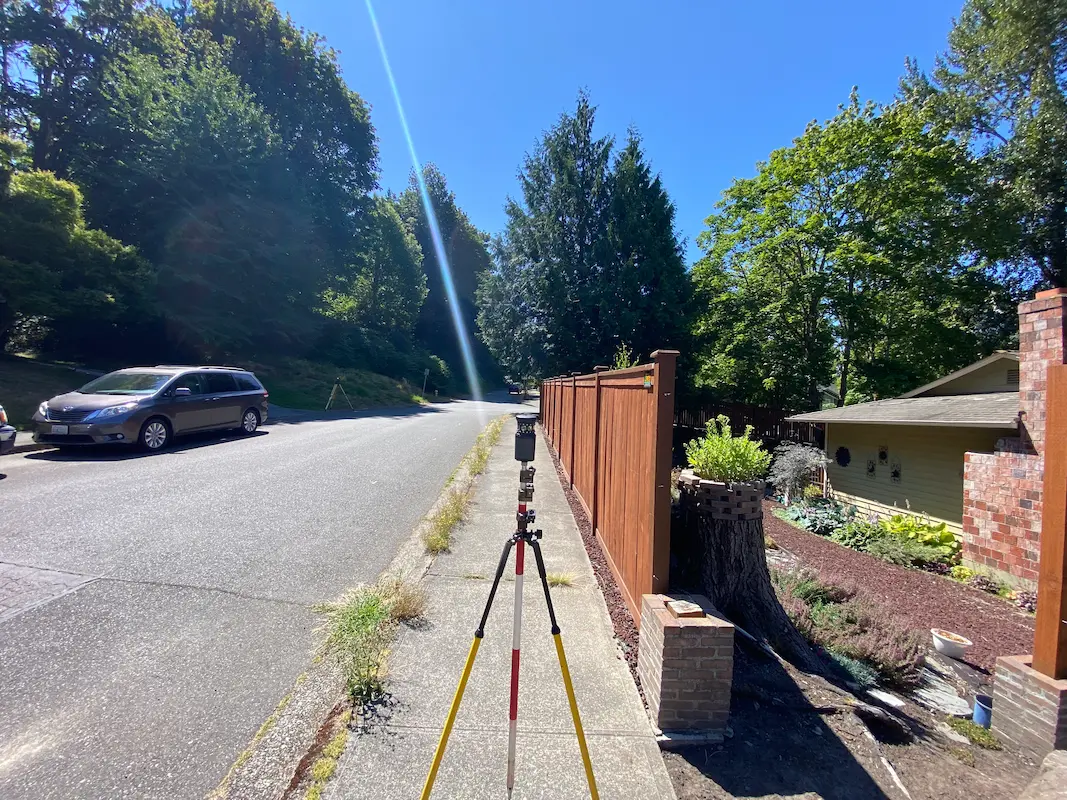
City of Kirkland – 108th Avenue Kirkland, WA S&F provided land surveying services in support of stormwater infrastructure improvements addressing flooding within the Juanita neighborhood. Scope includes topographic surveying, utility coordination and potholing, right-of-way retracement, and preparation of survey mapping and CAD deliverables along NE 120th Place, NE120th Street, 106th Avenue NE, and 108th Avenue … Read more

IHS Realty Sites – Whiteriver, Cibecue, Supai, Owyhee, Moapa, FortMcDermitt

IHS Realty Sites – Whiteriver, Cibecue, Supai, Owyhee, Moapa, FortMcDermitt Arizona & Nevada (ProjeS&F provided comprehensive boundary and lease survey services for six Indian Health Service (IHS) realty sites across Arizona and Nevada, supporting critical healthcare facilities in Whiteriver, Cibecue, and Supai, Arizona, and Owyhee, Moapa, and Fort McDermitt, Nevada. The project included detailed records … Read more

Casa Grande Substation

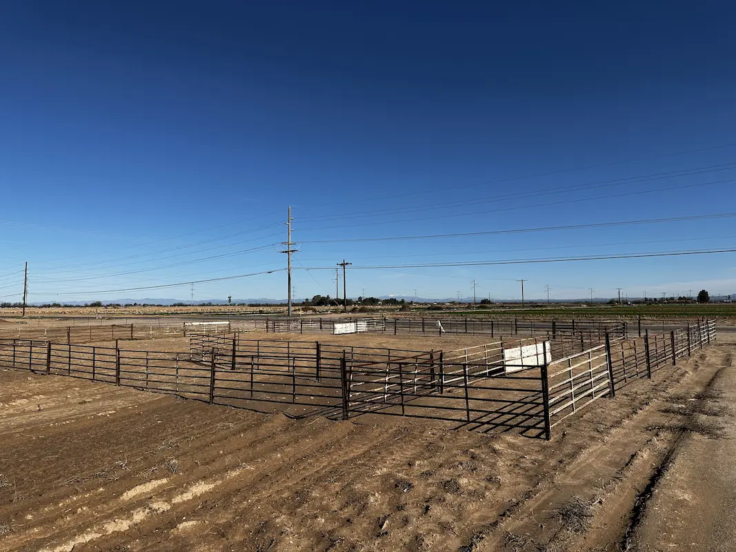
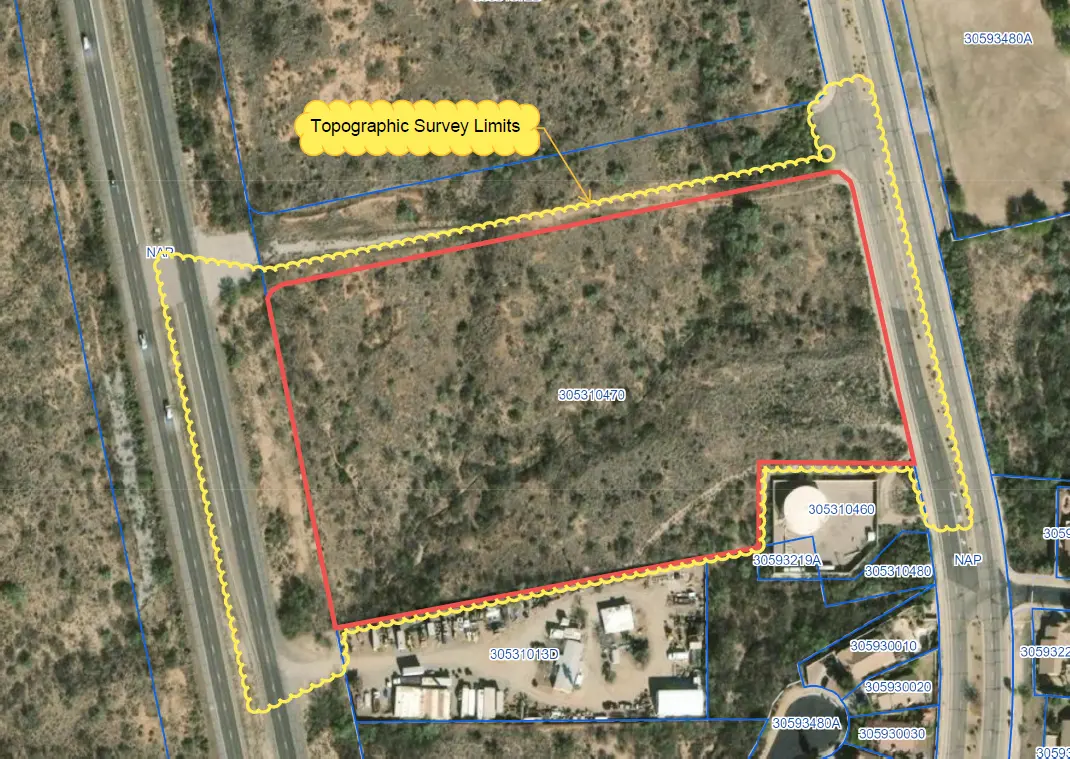
Casa Grande Substation Casa Grande, AZ Topographic survey and aerial imagery for approximately 60 acres to support access rights and design to a new substation. A full existing conditions map was produced including surface data, planimetrics and utilities. Additional survey support included preparing a legal description for the access easement and a boundary survey to … Read more

Multiple Solar Farms Ranging from 500–6,000 Acres

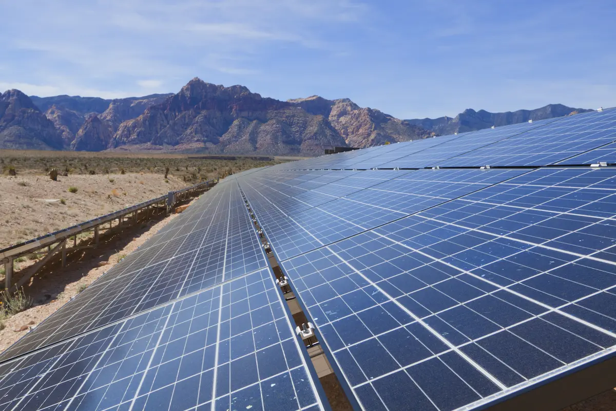
Multiple Solar Farms Ranging from 500-6,000 Acres Arizona & California S&F Land Services has performed topographic and boundary surveying for many Solar sites throughout Arizona and neighboring states. Often, time is of the essence on the larger sites. S&F decreases the timeline of work by utilizing UAV/drone (LiDAR and Imagery) to map these large sites. … Read more

Superstition Springs Center Redevelopment

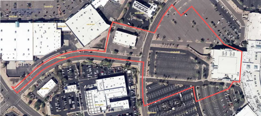
Superstition Springs Center Redevelopment Mesa, AZ S&F performed an ALTA/NSPS Land Title Survey for a 13-acre parcel within the Superstition Springs Center under an expedited one-week timeline. The team conducted a boundary survey and mapped planimetric features using drone-based imagery to produce an orthorectified image of the site. Field crews supplemented the aerial data by … Read more

U-Haul Tucson

U-Haul Tucson Tucson, AZ 11 acre ALTA survey and full topographic survey for design purposes to support the design of a new U-Haul facility in North Tucson. The site consisted of a wash running through the middle of the property. UAV/drone mapping was used to create a dense point cloud of the surface – creating … Read more

Farwest Casino

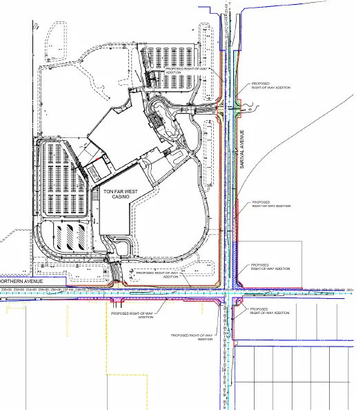
Farwest Casino Maricopa County, AZ ALTA and Topographic survey of the 100+ acre property. Extensive adjacentroadway topographic, underground utility and right-of-way survey was alsoincluded. S&F prepared multiple legal descriptions for right-of-way dedications,construction easements, and utility agreements. Project Details MARKETCommecial SERVICEALTA Surveys, Legal Description, Right-of-Way Establishments, Topographic Surveying LOCATIONMaricopa County, AZ