Town of Marana Heritage Park Water Treatment

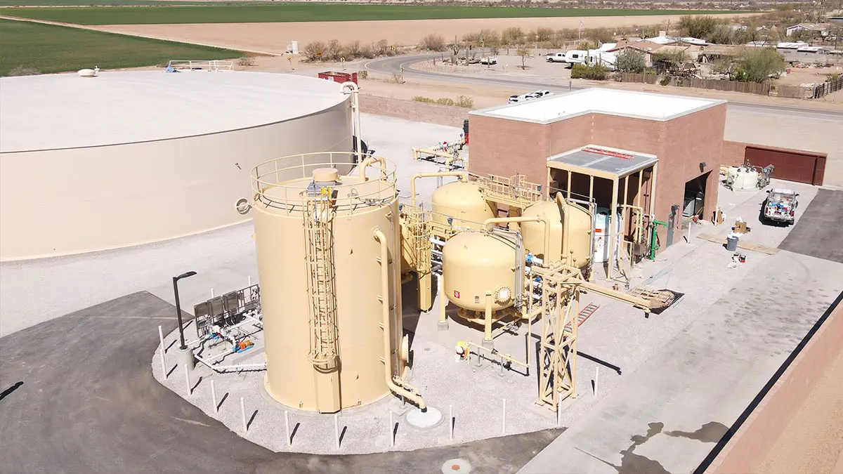
Town of Marana Heritage Park Water Treatment Marana, AZ A full topographic and boundary survey to support the design of centralized water treatment at Heritage Park in Marana, AZ. A combination of UAV/drone mapping and ground survey techniques are used to collect data for 14 acres of the park and nearby existing facility, along with … Read more
Transit Center (First Transit)

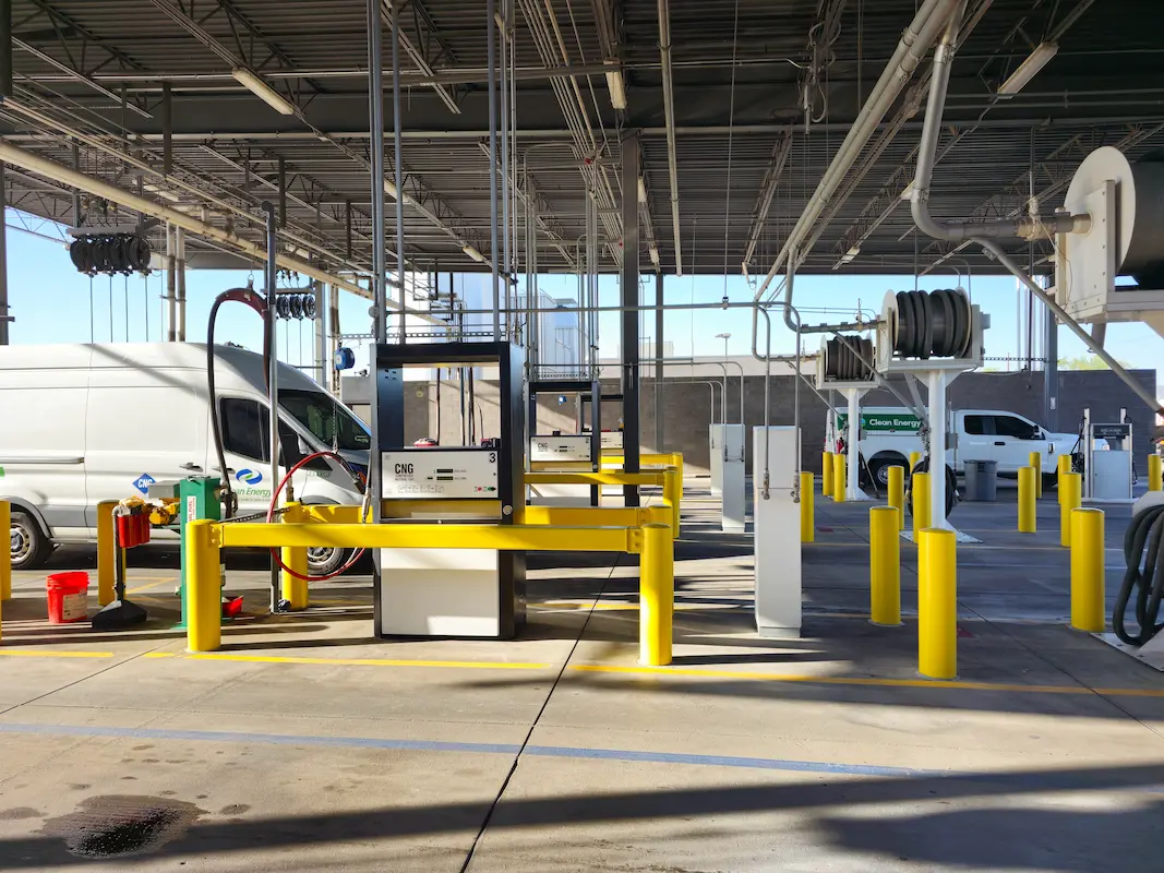
Transit Center (First Transit) Phoenix, AZ S&F performed a topographic and boundary survey for First Transit’s N 79th Avenue Bus Fueling and Maintenance center. This site consists of 25 acres of improved property, buildings, parking, fueling stations and additional facilities. S&F also surveyed adjacent N 79th Ave. Portions of the site were mapped with drone/imagery– … Read more

Peoria Municipal Operations Center

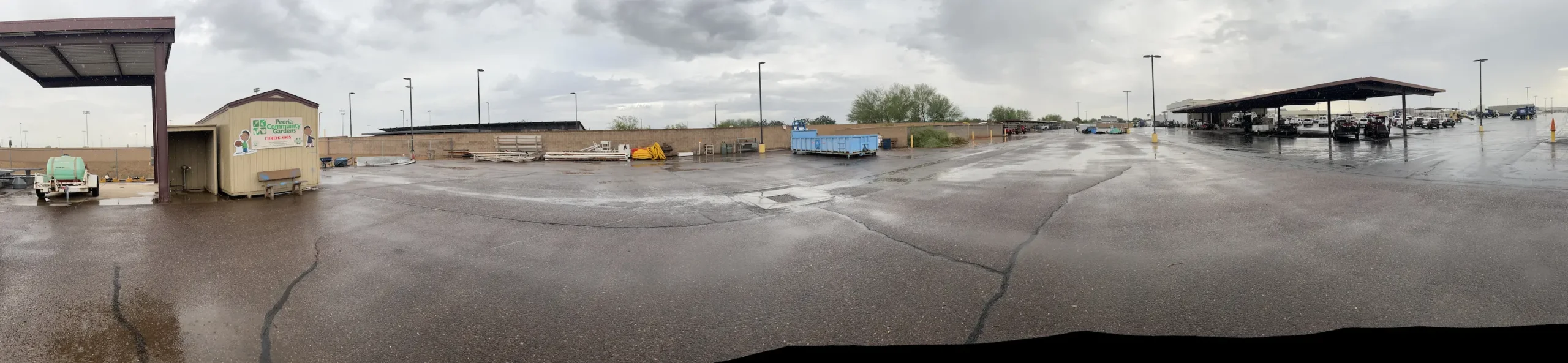
Peoria Municipal Operations Center Peoria, AZ ALTA Survey, Topographic Survey, underground utilities, boundary and easements for the City of Peoria’s Municipal Operations Center. This 20-acre site consisted of parking, buildings, staging, maintenance areas and adjacent roadways. A full topographic survey, including underground utilities, was provided. The entire site was flown with UAV/drone to produce a … Read more

W Drexel Road

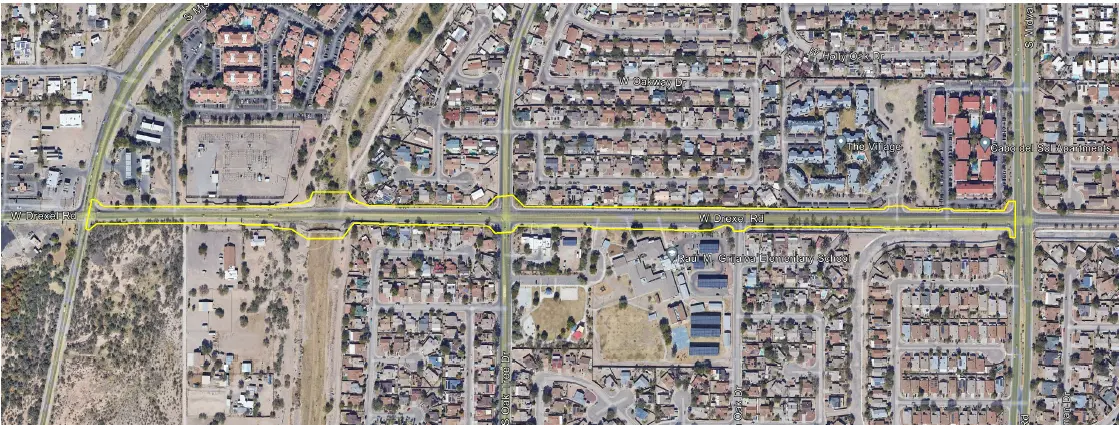
West Drexel Road Tucson, AZ S&F provided comprehensive surveying services for the W. Drexel Road corridor improvement to support transportation planning and design efforts for a key urban roadway. The work included a detailed topographic survey along the project alignment, capturing surface features, improvements, and above-ground utilities, supplemented by UAV/drone-based aerial imagery to produce a … Read more

South Tri-Cities Transmission Line

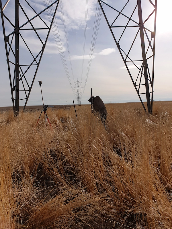
South Tri-Cities Transmission Line Benton County, WA S&F is currently providing surveying and mapping support necessary to complete the design, acquire rights and permits to construct a transmission line. This project involved survey along the route for a new, 17-mile transmission line in Benton County, WA with large portions of the alignment in agricultural areas. … Read more

Toquerville Transmission

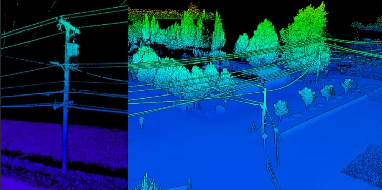
Toquerville Transmission Toquerville, UT (Completed 2026) S&F performed aerial mapping and ground-based survey for a transmission line corridor and future substation. The transmission line survey encompassed a 6-mile corridor and utilized aerial LiDAR to capture detailed terrain, utility, and transmission-line features. The resulting point cloud was classified in accordance with client coding, with required meteorological … Read more