Sunset Village

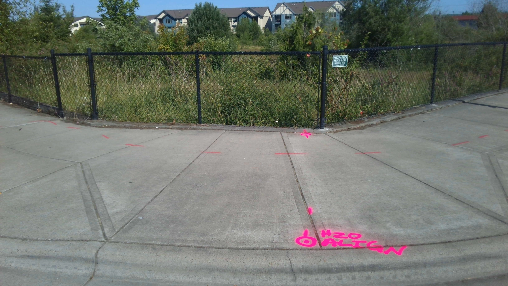
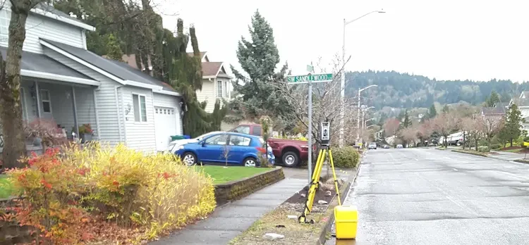
Sunset Village Gresham, OR S&F performed the survey support for the multi-phase, 300+ lot subdivision in Gresham, OR. Support includes preliminary platting, final platting, installation of monumentation, legal descriptions for easements and tracts, Topographic and Boundary survey, and ALTA Surveys. Off-site topographic survey for utility connections was performed along multiple routes. Project Details MARKETResidential SERVICEShort … Read more
NE Neighborhood

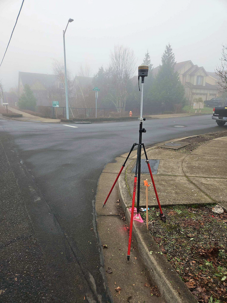
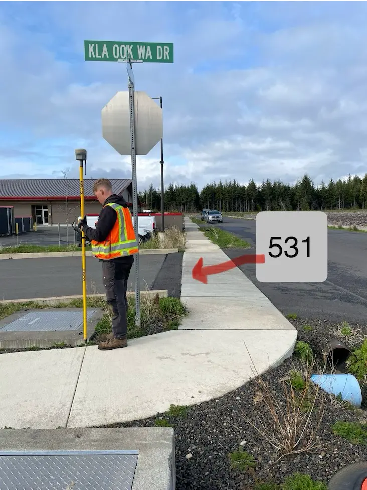
NE Neighborhood Quinault Indian Nation, WA As part of the Quinault Indian Nation’s NE Neighborhood development, S&F provided monumentation services and plat updates to support final subdivision recording. Survey crews set marked monuments at all designated interior and exterior lot corners, tract boundaries, rights-of-way, and centerline points in accordance with the approved Plat of the … Read more

Truman Elementary

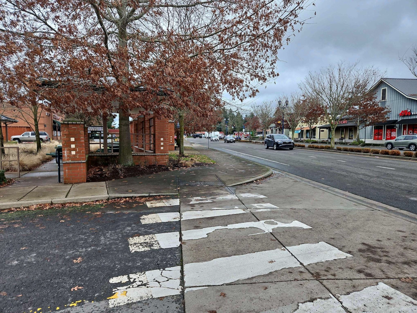
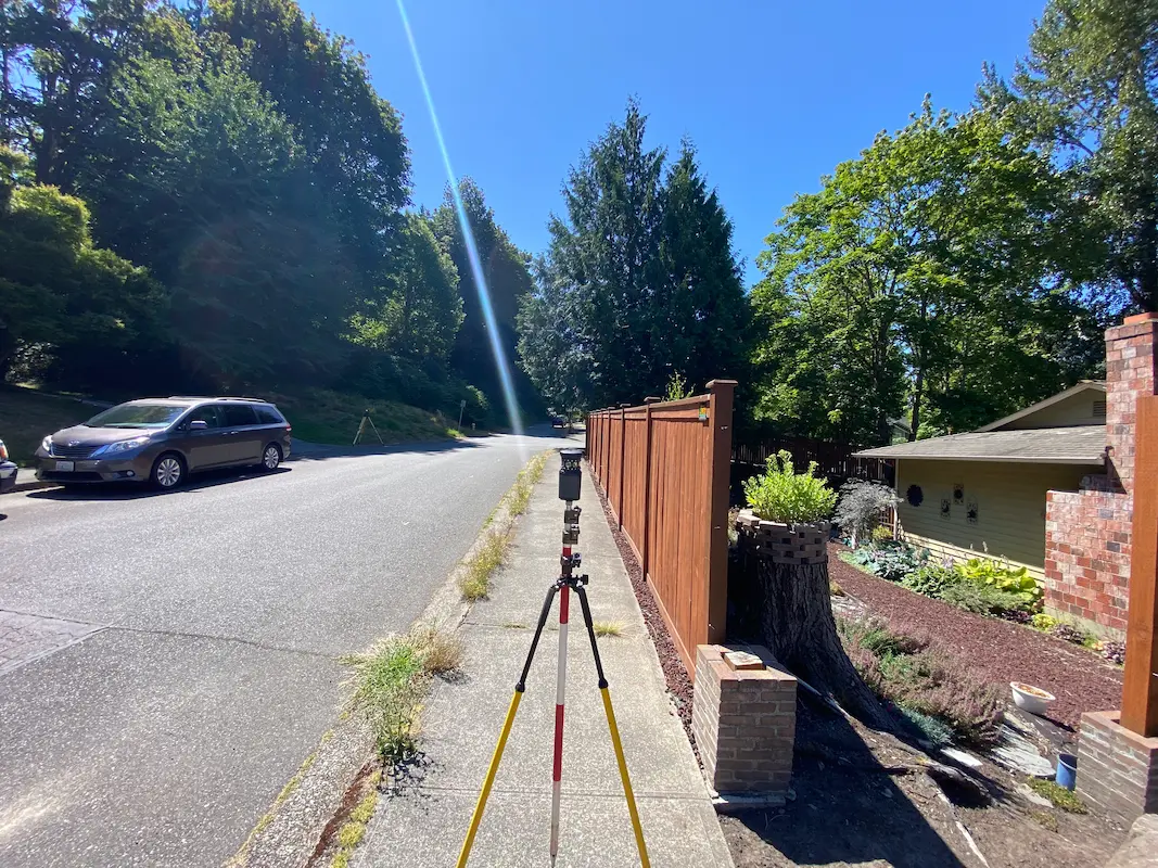
Truman Elementary Clark County, WA S&F was selected by Clark County to perform surveying and mapping, supporting their design of a sidewalk and access improvement project. The scope consists of topographic surveying, aerial/drone mapping, right-of-way resolution, underground utility investigation, monument preservation and legal descriptions. The project is approximately 3/4 mile long. Project Details MARKETEducation, Transportation … Read more

North Water Transmission Line Intertie

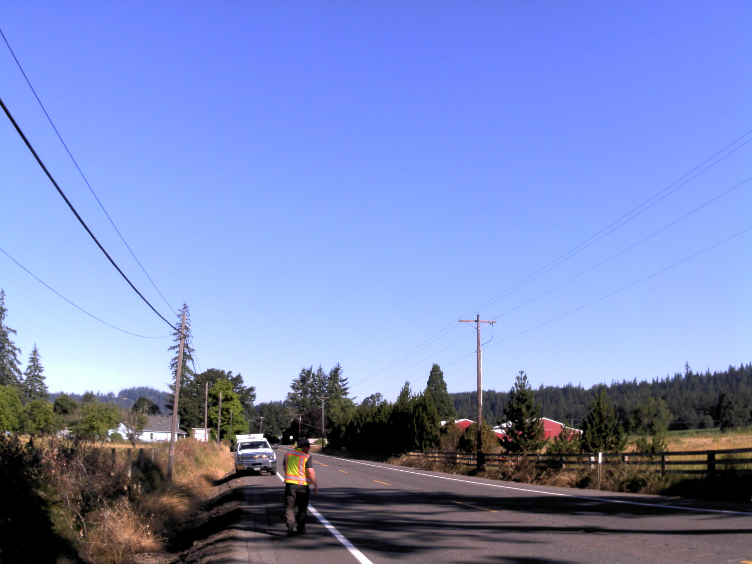
North Water Transmission Line Intertie Beaverton, OR S&F was the survey subcontractor on The City of Beaverton NTLI Project, a 6.5-mile water line transmission intertie project. S&F provided topographic land surveying for 7 miles of roadway – and 11 drainage/waterway crossings (bridges and culverts). The scope consists of utility coordination, UAS-drone flight and photogrammetric mapping, … Read more

Oregon City PMUF

Oregon City PMUF Oregon City, OR Our recent survey work focused on ADA and roadway improvements, encompassing a detailed assessment of right-of-way and property corners, centerline monuments, and a comprehensive utility survey. By accurately establishing right-of-way boundaries and property corners, we ensured compliance with legal requirements while facilitating smooth project execution. The placement of centerline … Read more

Wilsonville Street Maintenance

Wilsonville Street Maintenance Wilsonville, OR S&F has been providing services to the City of Wilsonville on these annual projects for four years. Our work includes topographic surveys produced via UAV/drone and conventional survey methods. We also produce a control and monument recovery survey for monuments that could be disturbed during construction. We have worked on … Read more

Amisigger Road

Amisigger Road Clackamas County, OR S&F completed a topographic survey of approximately 3,600 feet of Highway 224 and 1,600 feet of Amisigger Road, along with around 500 feet of creek limits, incorporating environmental consultants’ markings. The scope included retracing, resolving, and reestablishing 4,700 feet of right-of-way boundaries, creating a project centerline, right-of-way limits, and perpetuating … Read more

Shelton-Fairmount No. 1 Transmission Line

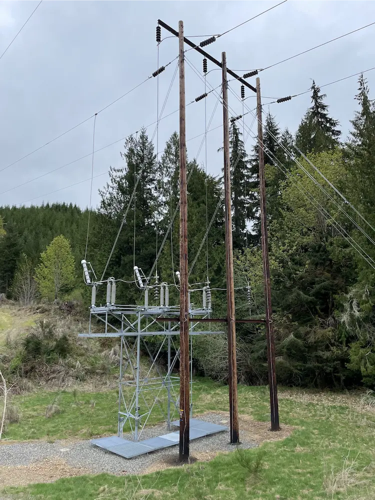
Town of Index Watermain Replacement Mason & Jefferson Counties, WA S&F is currently providing surveying and mapping support for the retracement of a 60-mile transmission line rebuild project in Mason and Jefferson Counties, WA. The scope includes acquisition and survey support, with work focused on retracing both the original construction line and the acquisition survey … Read more

Boardman to Hemingway (B2H) Federal Land Survey

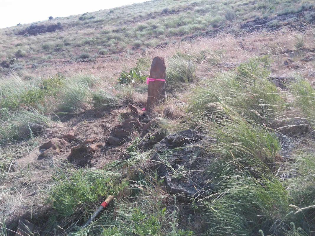
Boardman to Hemingway (B2H) Federal Land Survey Oregon & Idaho S&F provided survey support for the federal lands portion of the Boardman to Hemingway (B2H) transmission line, locating 588 monuments controlling federal lands with potential to be disturbed during construction across a 294-mile transmission line and associated access roadways. Work included densifying the existing control … Read more

City of Kirkland – 108th Avenue

City of Kirkland – 108th Avenue Kirkland, WA S&F provided land surveying services in support of stormwater infrastructure improvements addressing flooding within the Juanita neighborhood. Scope includes topographic surveying, utility coordination and potholing, right-of-way retracement, and preparation of survey mapping and CAD deliverables along NE 120th Place, NE120th Street, 106th Avenue NE, and 108th Avenue … Read more