Portland Meadows

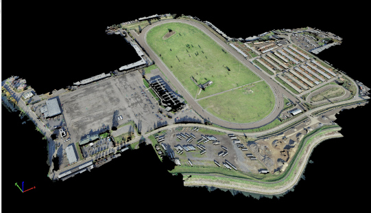
Portland Meadows Portland, OR S&F performed two plats, totaling 120 acres, through the City of Portland’s unique “Lot Validation” process. The final plats included preparing legal descriptions of the very complicated boundary resolution of historic properties bound by canals, slough, roadways and historic deeds of large scale. All of the properties involved were affected by … Read more
Sunset Village

Sunset Village Gresham, OR S&F performed the survey support for the multi-phase, 300+ lot subdivision in Gresham, OR. Support includes preliminary platting, final platting, installation of monumentation, legal descriptions for easements and tracts, Topographic and Boundary survey, and ALTA Surveys. Off-site topographic survey for utility connections was performed along multiple routes. Project Details MARKETResidential SERVICEShort … Read more

QIN Upper Village Water System Improvements

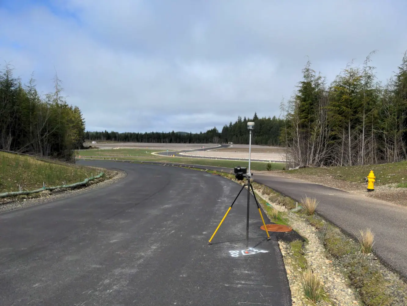
QIN Upper Village Water System Improvements Quinault Indian Nation, WA S&F performed a detailed topographic survey in support of water system improvements within the SE Energy Park area of the Quinault Indian Nation. The survey covered the site, an access route, and a new roadway connection off Kla Ook Wa Drive. The scope included surface … Read more

Port of Chehalis Bishop Road

Port of Chehalis Bishop Road Chehalis, Washington This project for the Port of Chehalis comprised of an existing conditions andboundary retracement survey. We recovered boundary monuments, ordered publicutility locates, and did a complete survey of the site topography. Publicly availableas-built plans were used in conjunction with maps from utility locators to reconstructthe utility layout, and … Read more

MCR South Jetty

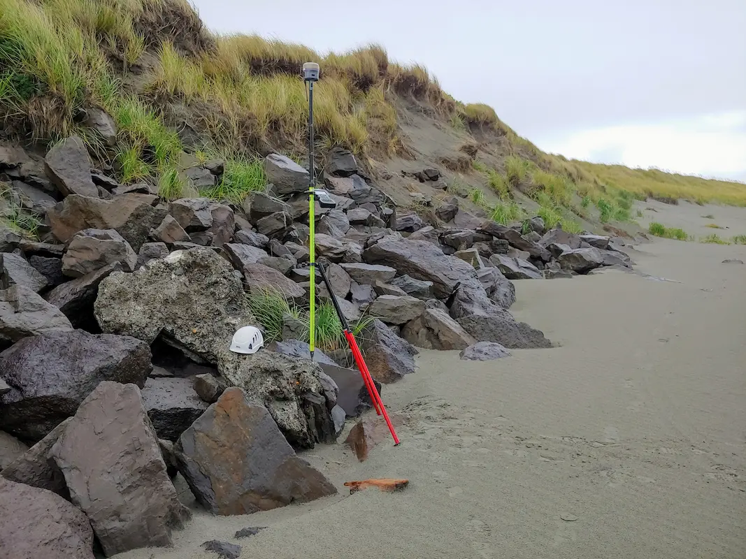
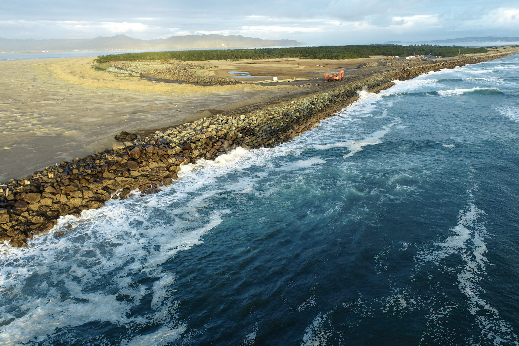
MCR South Jetty Clatsop County, OR S&F, in partnership with JE McAmis, was selected by USACE for the 5-year South Jetty Rehabilitation Project. S&F conducts near-monthly UAV flights to monitor construction progress and seasonal degradation, and performs UAS mapping over a 3-mile stretch of the Jetty. We also manage a subcontracted multi-beam hydrographic survey conducted … Read more

Truman Elementary

Truman Elementary Clark County, WA S&F was selected by Clark County to perform surveying and mapping, supporting their design of a sidewalk and access improvement project. The scope consists of topographic surveying, aerial/drone mapping, right-of-way resolution, underground utility investigation, monument preservation and legal descriptions. The project is approximately 3/4 mile long. Project Details MARKETEducation, Transportation … Read more

North Water Transmission Line Intertie

North Water Transmission Line Intertie Beaverton, OR S&F was the survey subcontractor on The City of Beaverton NTLI Project, a 6.5-mile water line transmission intertie project. S&F provided topographic land surveying for 7 miles of roadway – and 11 drainage/waterway crossings (bridges and culverts). The scope consists of utility coordination, UAS-drone flight and photogrammetric mapping, … Read more

Grays Harbor North Jetty

Grays Harbor North Jetty Grays Harbor County, WA S&F is currently providing surveying and remote sensing services in support of the U.S. Army Corps of Engineers’ multi-year Grays Harbor North Jetty Repair project, performed as part of the USACE–Big River construction team. S&F anticipates conducting near-monthly Unmanned Aerial Vehicle (UAV) flights to document construction progress, … Read more

Oregon City PMUF

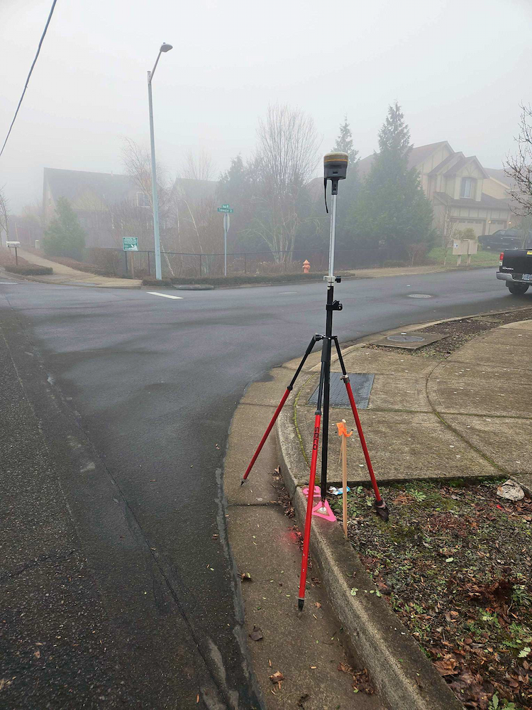
Oregon City PMUF Oregon City, OR Our recent survey work focused on ADA and roadway improvements, encompassing a detailed assessment of right-of-way and property corners, centerline monuments, and a comprehensive utility survey. By accurately establishing right-of-way boundaries and property corners, we ensured compliance with legal requirements while facilitating smooth project execution. The placement of centerline … Read more

Wilsonville Street Maintenance

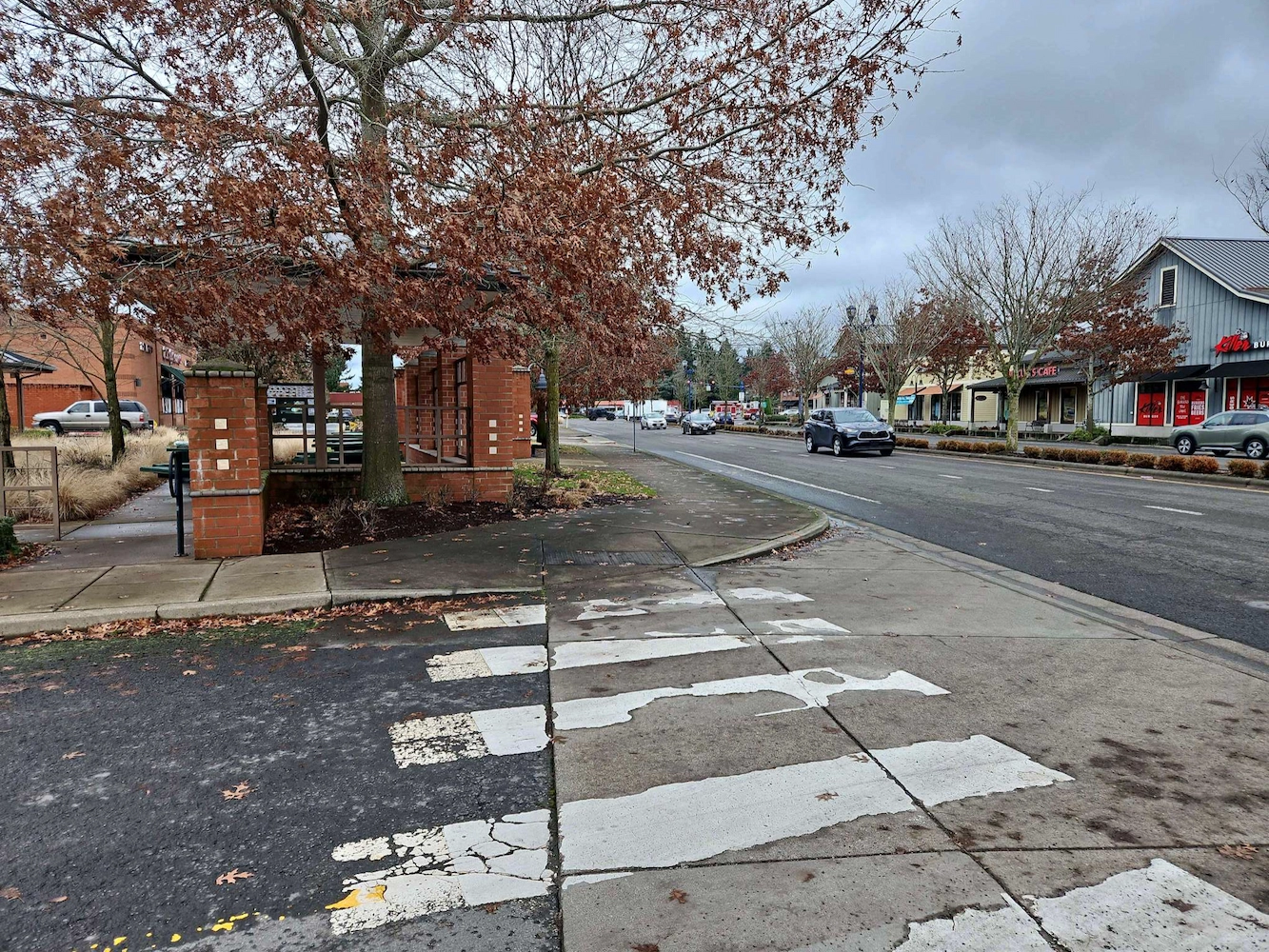
Wilsonville Street Maintenance Wilsonville, OR S&F has been providing services to the City of Wilsonville on these annual projects for four years. Our work includes topographic surveys produced via UAV/drone and conventional survey methods. We also produce a control and monument recovery survey for monuments that could be disturbed during construction. We have worked on … Read more