Amisigger Road

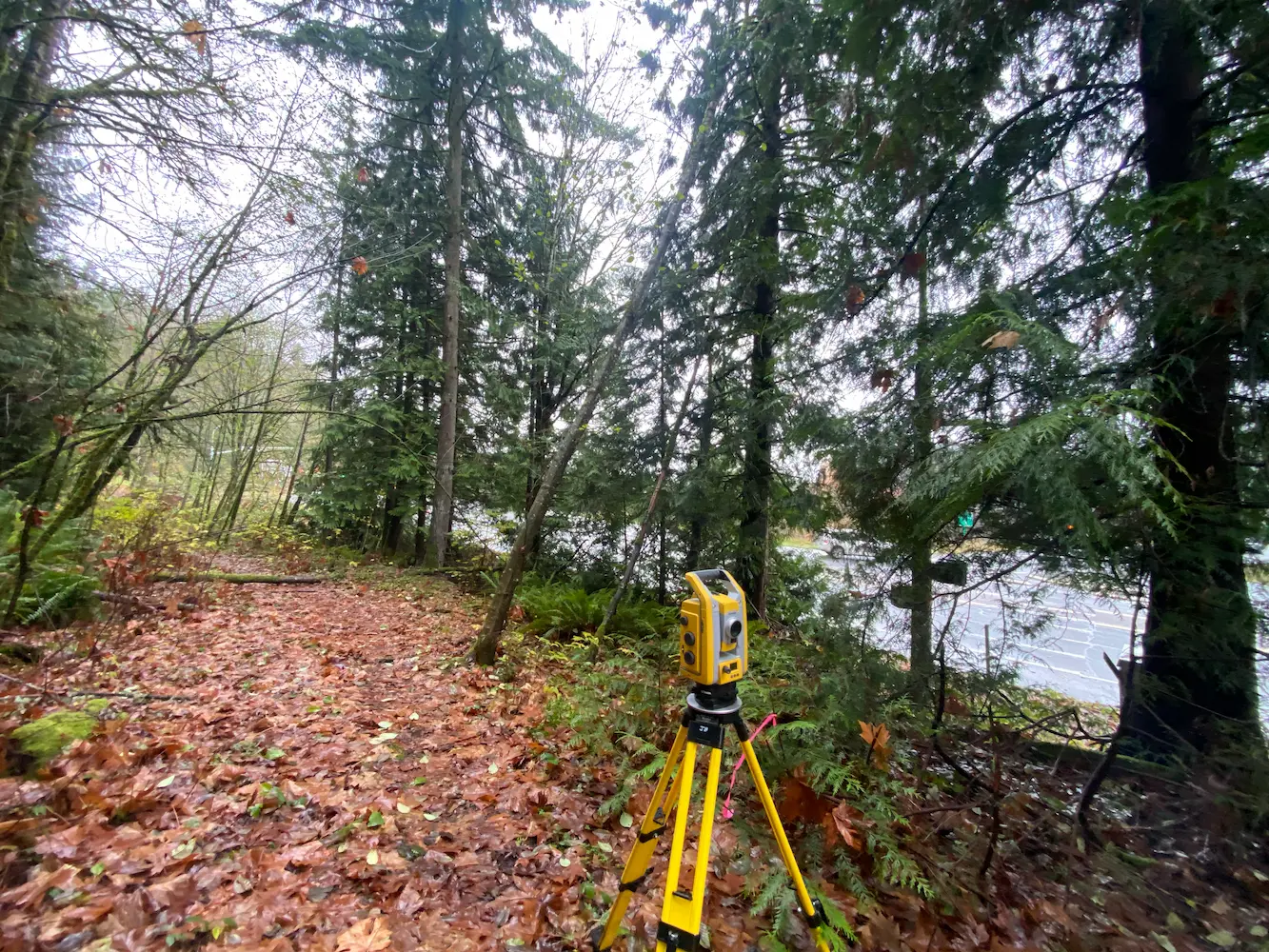
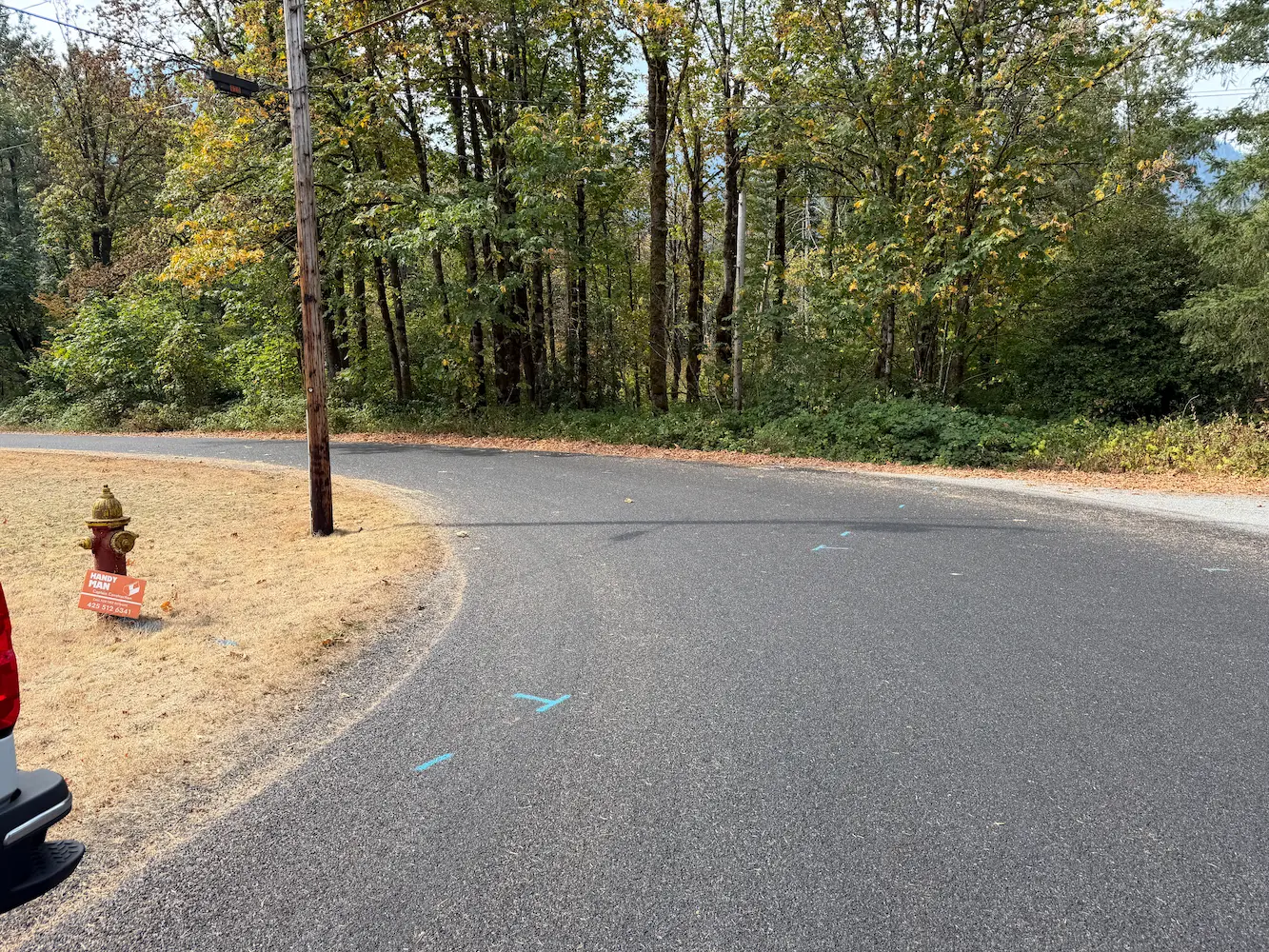
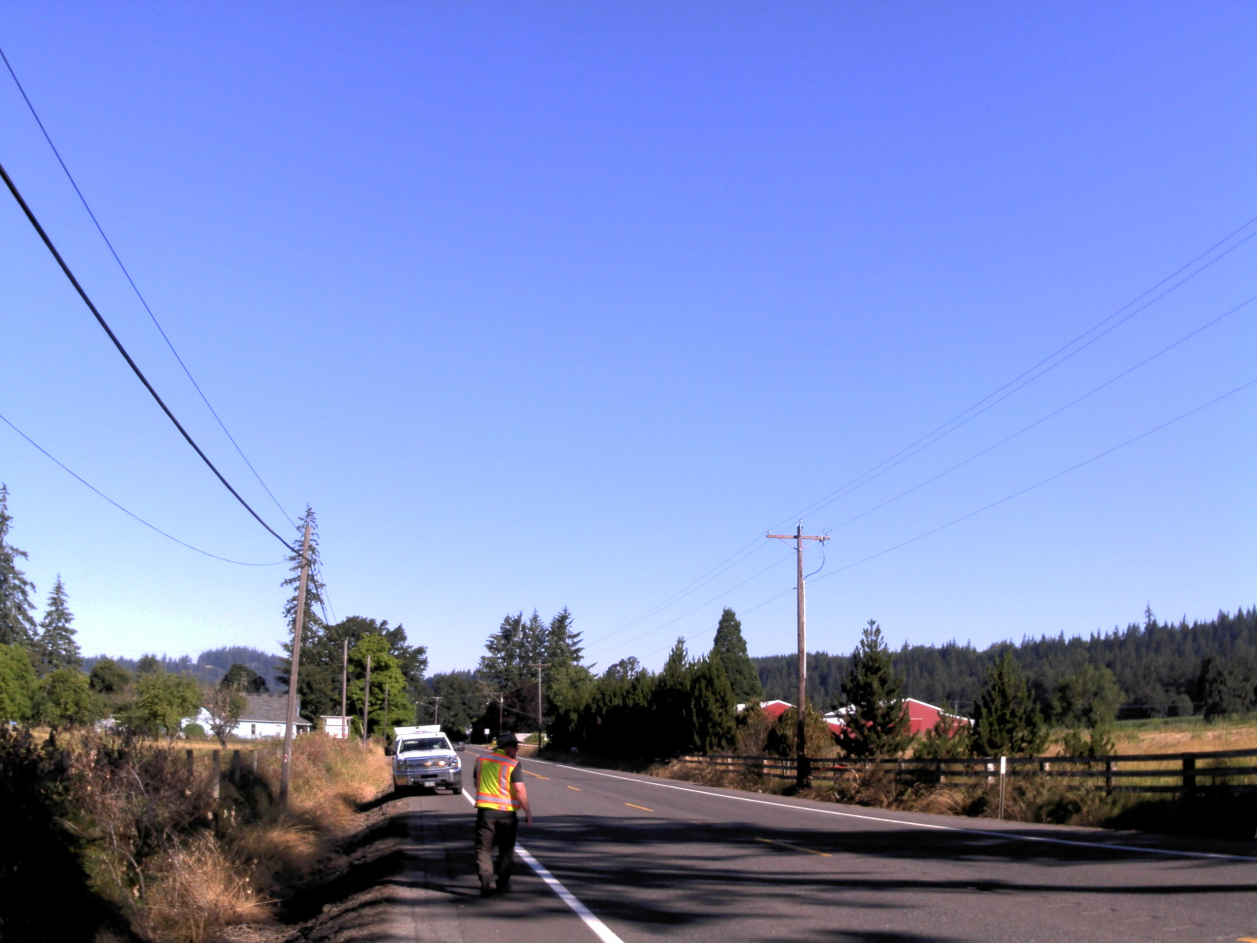
Amisigger Road Clackamas County, OR S&F completed a topographic survey of approximately 3,600 feet of Highway 224 and 1,600 feet of Amisigger Road, along with around 500 feet of creek limits, incorporating environmental consultants’ markings. The scope included retracing, resolving, and reestablishing 4,700 feet of right-of-way boundaries, creating a project centerline, right-of-way limits, and perpetuating … Read more
Supersonic Everett

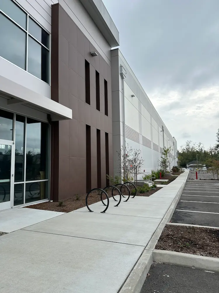
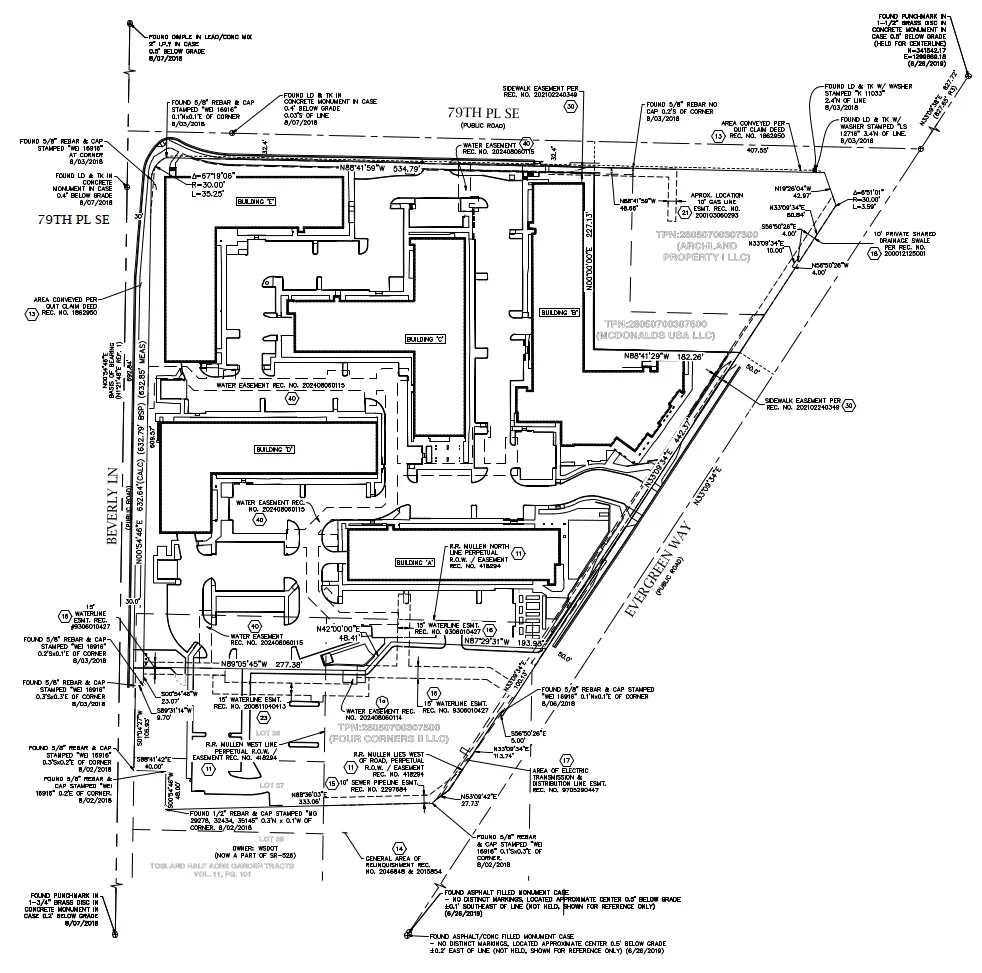
Supersonic Everett Snohomish County, WA We provided boundary and topographic surveying services to support the design and development of a commercial building in Snohomish County, Washington. Initial work included locating nearby boundary monuments, mapping existing site conditions, and identifying potential boundary encroachments. These surveys established the base mapping needed for site planning and design. Following … Read more

Four Corners Apartments

Four Corners Apartments Everett, WA For this multifamily development in Everett, Washington, our team supported design, construction, and ongoing property needs with a full range of surveying services. A boundary and topographic survey established property limits and mapped existing site features, providing the foundation for project design. As the development moved into construction, we provided … Read more

Bakerview Phase 2

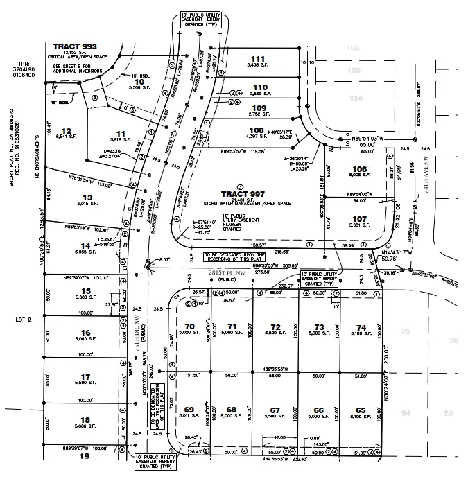
Bakerview Phase 2 Stanwood, WA Our team provided surveying services for a two-phase, 300-lot single-family residential development in Stanwood, Washington, supporting the project from initial design through construction and final plat recording. Services began with boundary and topographic surveys to establish existing conditions and provide the base mapping for site design. During construction, our team … Read more

SSA Tacoma Terminal

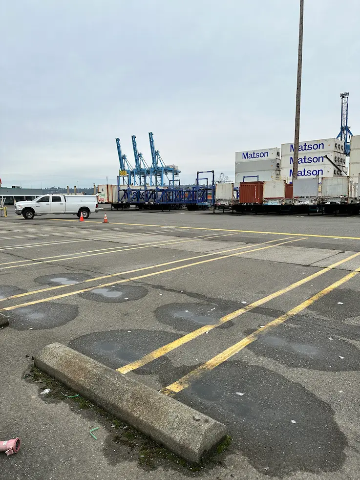
SSA Tacoma Terminal Tacoma, WA Utilizing TWIC certified staff, S&F completed full topographic and utility surveys for ~50 proposed light pole locations. S&F coordinated private utility locates, as well as access schedule with the client and Port to ensure timely deliverables used for final civil design of the proposed infrastructure. Project Details MARKETCommercial, Transportation SERVICEExisting … Read more

272nd Waterline

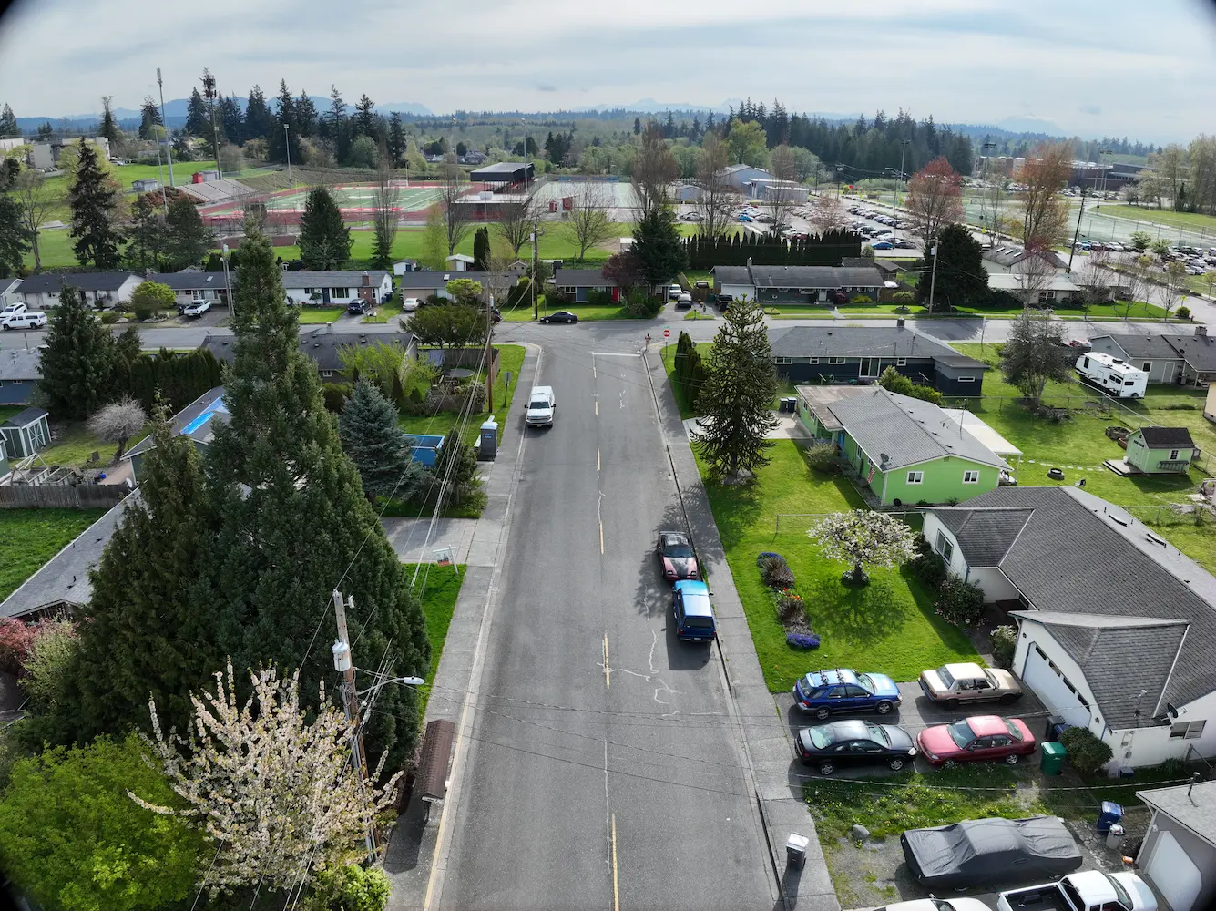
272nd Waterline Snohomish County, WA S&F prepared design-level base mapping covering the full width of the right-of-way along approximately one-half mile of 272nd Street NW and 76th Drive NW, extending past the curb returns on the abutting street at 273rd, in support of asbestos-cement waterline replacement. Survey control was established and rights-of-way and roadway centerlines … Read more

Bellevue-Issaquah Pipeline Relocation at Lewis Creek

Bellevue-Issaquah Pipeline Relocation at Lewis Creek Bellevue & Issaquah, WA S&F provided topographic survey and right-of-way retracement of Washington State Department of Transportation (WSDOT) right-of-way within SE Newport Way, Lakemont Blvd SE, and I-90 Interchange at Lewis Creek for Cascade Water Alliance 24” Bellevue-Issaquah Pipeline Relocation project. Scope of work included utility survey, pothole survey, … Read more

Shelton-Fairmount No. 1 Transmission Line

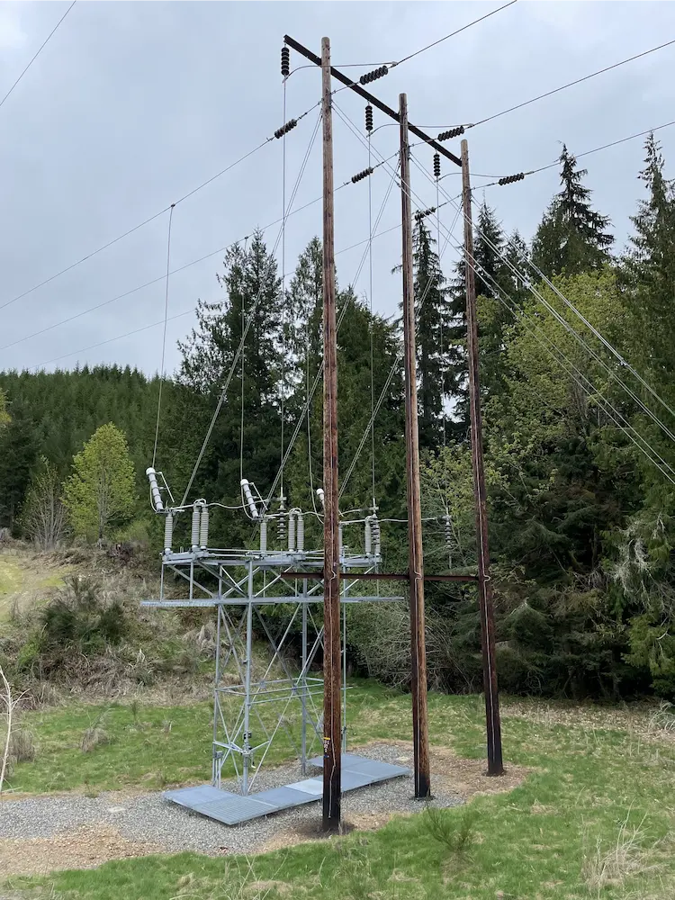
Town of Index Watermain Replacement Mason & Jefferson Counties, WA S&F is currently providing surveying and mapping support for the retracement of a 60-mile transmission line rebuild project in Mason and Jefferson Counties, WA. The scope includes acquisition and survey support, with work focused on retracing both the original construction line and the acquisition survey … Read more

Town of Index Watermain Replacement

Town of Index Watermain Replacement Index, WA S&F prepared design-level base mapping covering the full width of the right-of-way along approximately 1,100 feet of Index Avenue, together with 2nd Street and 7th, and a 900-foot section of Old Gold Bar-Index Road in support of asbestos-cement waterline replacement. Survey control, rights-of-way, roadway centerlines, and the BNSF/NPRR … Read more

BNSF Auburn Yard

BNSF Auburn Yard Auburn, WA S&F provided surveying and mapping of the BNSF Auburn Yard IMF needed to design new infrastructure and IMF loading and parking. Survey of the 220 acre IMF included ground-based survey of all existing rail features and grade crossings as well as collecting low altitude high resolution aerial imagery with LiDAR … Read more