Litespeed Specialized

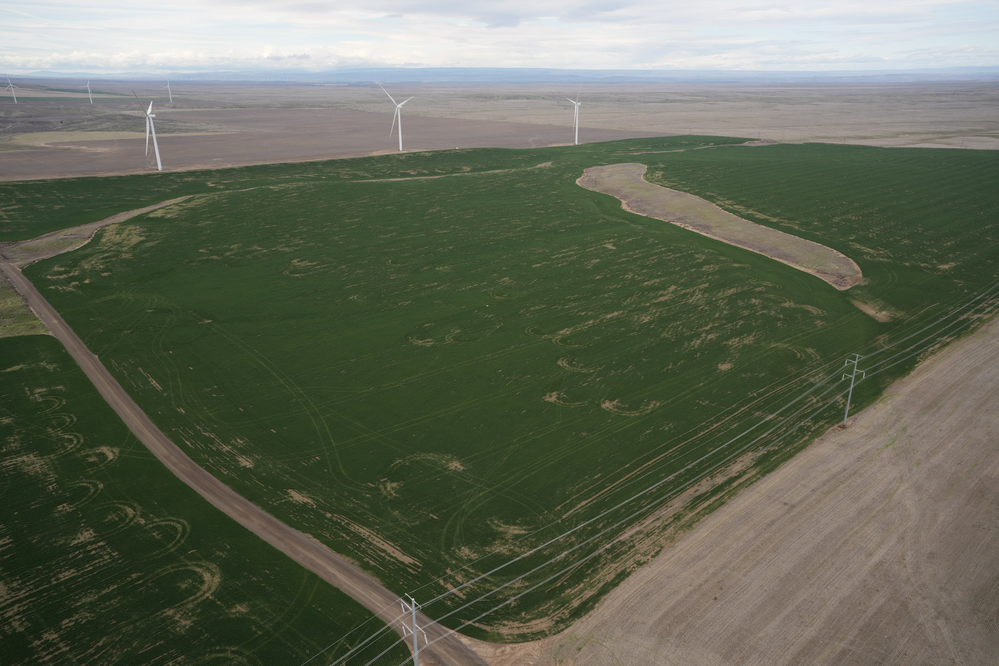
Litespeed Specialized Northeastern Oregon S&F is providing the surveying and mapping support required to design, acquire rights and permits for, and construct multiple transmission and distribution lines and three substations in northeastern Oregon. The project spans several routes across two counties and more than 10 townships, much of it through agricultural land. Work includes primary … Read more
SR 542 Roundabout Design

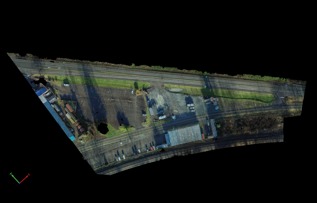
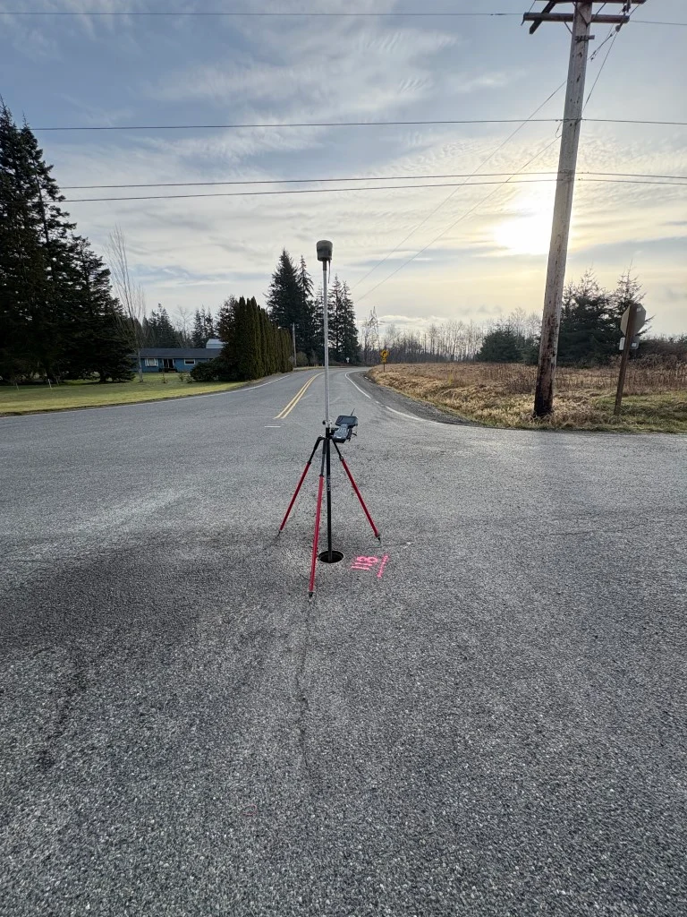
SR 542 Roundabout Design Deming, WA S&F supported the design of a new roundabout near the intersection of Deming Road and State Route 542 by delivering high-precision survey data critical to planning and right-of-way evaluation. The project area, located approximately 500feet northwest of the intersection, required careful coordination due to complex property boundaries and traffic … Read more

Gulf Road Project

Gulf Road Project Ferndale, WA S&F provided topographic surveying and construction as-built services for a 2.3-mile rail corridor and intermodal yard replacement project for BNSF. The scope included verifying and supplementing existing survey control, collecting topographic data, and measuring track ties to support the design of new track alignments. S&F also performed boundary computations and … Read more

Bridge 1750.9, Skykomish River

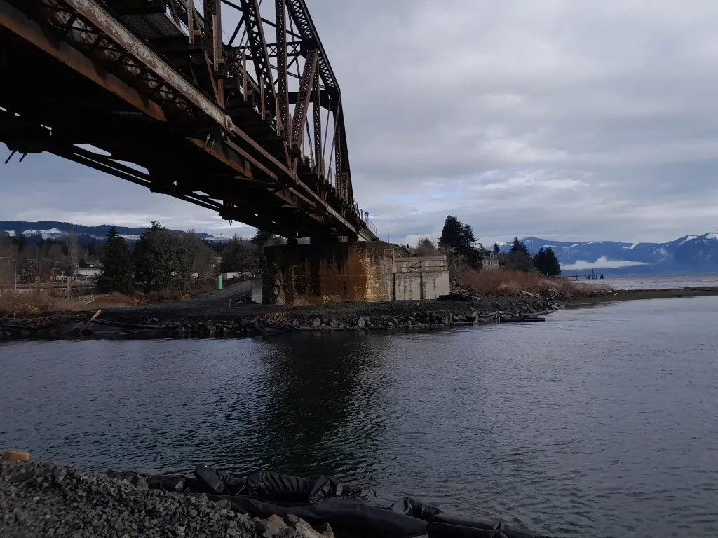
Bridge 1750.9, Skykomish River Gold Bar, WA S&F provided survey to replace an existing rail bridge over the Skykomish River. S&F established survey control, topographic mapping, and right-of-way determination along a 2.5-mile rail corridor, including the bridge, tracks, and adjacent access points. S&F also completed conventional surveys and 3D laser scanning of the existing bridge … Read more

Zidell Yards

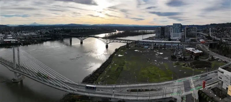
Zidell Yards Portland, OR S&F completed a comprehensive ALTA Survey for the 32-acre Zidell Yards property along Portland’s waterfront, a site currently being evaluated for a future MLB ballpark. Our team provided design-level topographic mapping, underground utility investigation, boundary resolution, and easement documentation to support early planning and feasibility. By delivering accurate, high-quality data at … Read more

Industrial Re-Use Pipeline

Industrial Re-Use Pipeline Quincy, WA S&F is providing full survey support for a 13-mile industrial re-use pipeline project in Quincy and the surrounding areas of Grant County. The pipeline system, overseen by the Washington State Department of Ecology, transports treated wastewater from a food processing facility to irrigation ponds for agricultural reuse. Our scope includes … Read more

4345 University Way

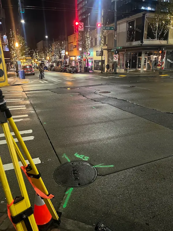
4345 University Way Seattle, WA S&F performed a comprehensive topographic survey, right-of-way resolution, utility coordination, and subsurface utility engineering (SUE) to support infrastructure planning at the intersection of NE 45th Street and University Way NE. The project, conducted under SDOT Permit SUUTIL0018847, required night work to minimize traffic disruption. S&F managed all aspects of field … Read more

405 & NE 4th Relocation

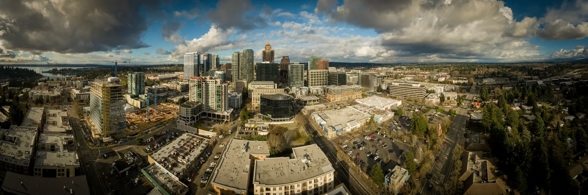
405 & NE 4th Relocation Bellevue, WA S&F conducted a site survey and FAA 1-A accuracy certification for a telecommunications relocation project near I-405 and NE 4th Street. Services included boundary and dimensional definition of the proposed cell-site area, contour and elevation mapping, identification of existing improvements and utilities, and preparation of NAD83-referenced deliverables to … Read more

Pacific Science Center

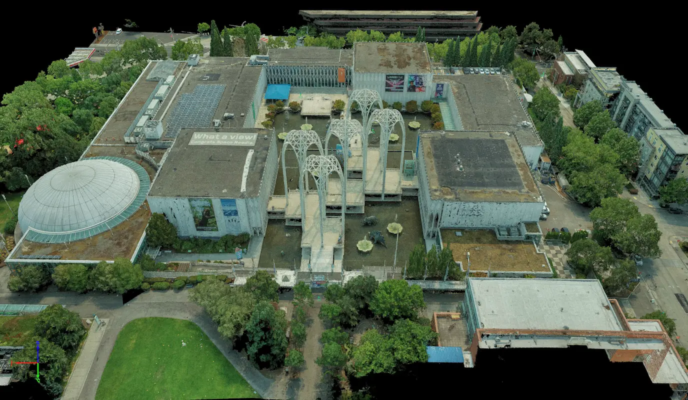
Pacific Science Center Seattle, WA S&F performed a rooftop survey and FAA 1-A accuracy certification to support telecommunications infrastructure planning at the Pacific Science Center. Services included preparation of FAA 1-A documentation, topographic mapping of the proposed cell-site area, and incorporation of aerial photography and photogrammetric reference imagery to verify rooftop geometry, positional accuracy, and … Read more

Union Bay Relocation

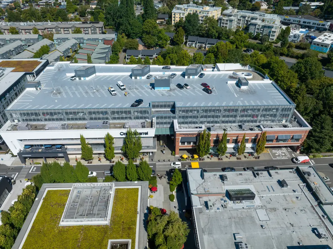
Union Bay Relocation Seattle, WA S&F completed a detailed site survey supporting installation of a new rooftop telecommunications facility at University Village in Seattle. The work included boundary definition, vertical relief mapping, and location of improvements and utilities coordinates, supported by aerial photography and rooftop imagery used to document existing conditions, evaluate siting constraints, and … Read more