

S&F Land Services is a premier land surveying and remote sensing firm serving the Western U.S. with cutting-edge technology and a client-first approach. Led by licensed surveyors and a certified photogrammetrist, our team has a passion for the noble profession of land surveying – and a drive to harness the latest technologies to offer modern remote sensing applications such as UAS/drone, LiDAR, Imagery and 3D laser scanning. We pride ourselves on providing excellent customer service to engineers, project owners, representatives, and public infrastructure agencies at City, State and Federal levels. Our success is measured by our clients’ achievements and the strong partnerships we build along the way.

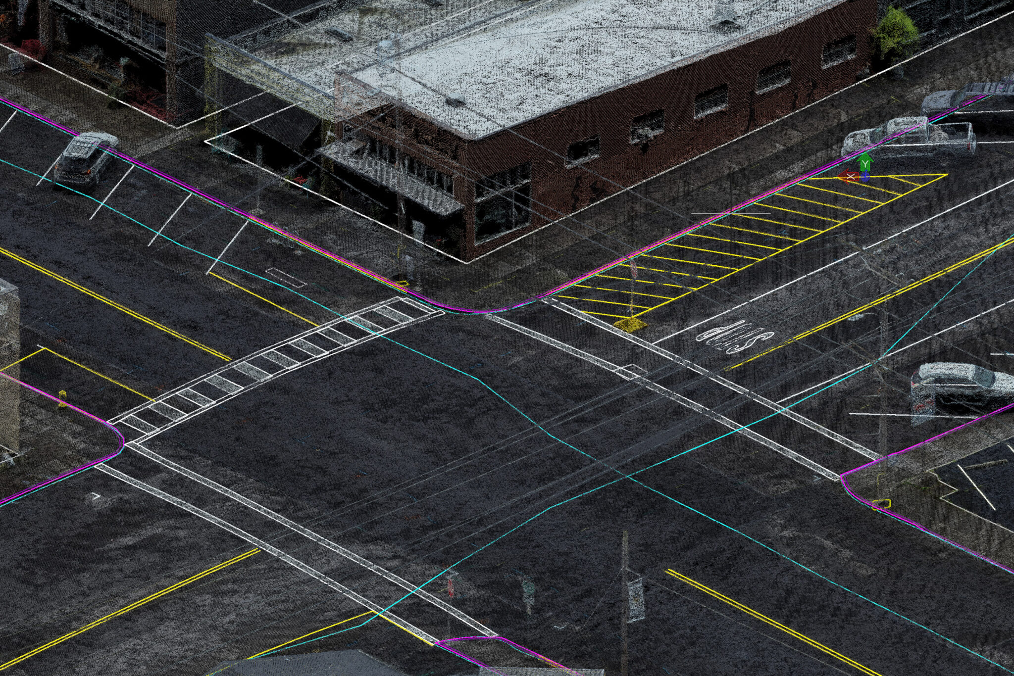
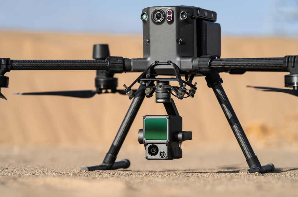
S&F Land Services utilizes UAV's (Drones), terrestrial scanners and advanced 3D feature extraction software suites to provide value-added deliverables to our clients such as full-color point clouds and ultra-high resolution orthomosaics.

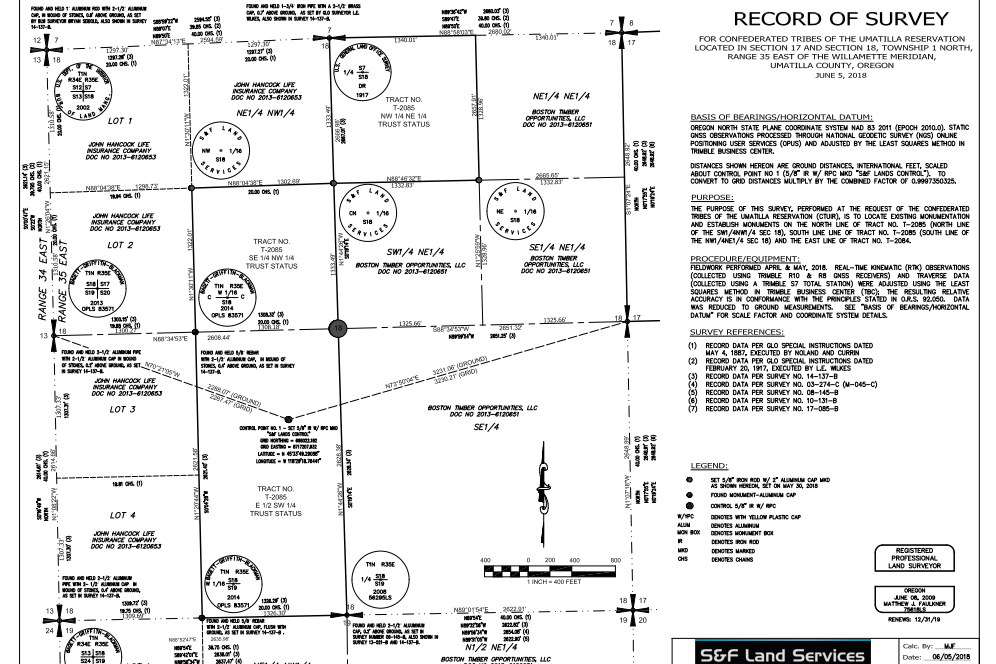
Owner Matthew Faulkner is Certified Federal Surveyor (CFedS). His previous employment with the Bureau of Land Management (BLM) and his experience surveying on projects for the BLM, Forest Services and various Tribes throughout the Northwest as a private business contractor give S&F the unique experience and perspective to perform this work correctly and efficiently.