
Overview
S&F plays a vital role in moving transportation and utility projects forward. Our team supports roadway expansions, intersection upgrades, and utility infrastructure with responsive, high-accuracy survey solutions. From urban corridors to rural routes, we help public agencies and engineers make informed decisions by delivering precise data quickly and efficiently.
What We Do
- Deliver topographic and utility base maps for roadway design
- Perform right-of-way and boundary resolution for acquisitions and improvements
- Conduct ADA compliance surveys for sidewalk and curb ramp upgrades
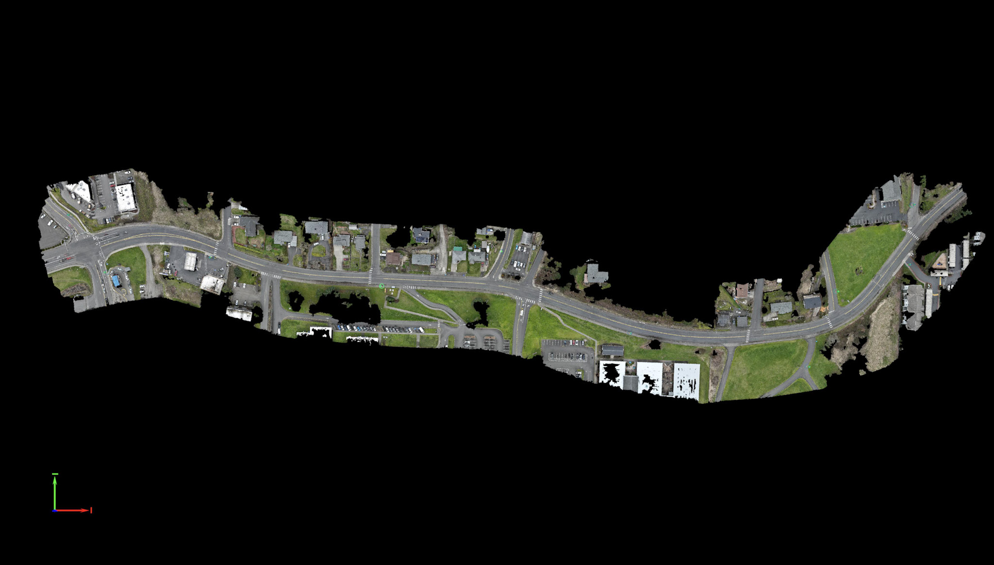
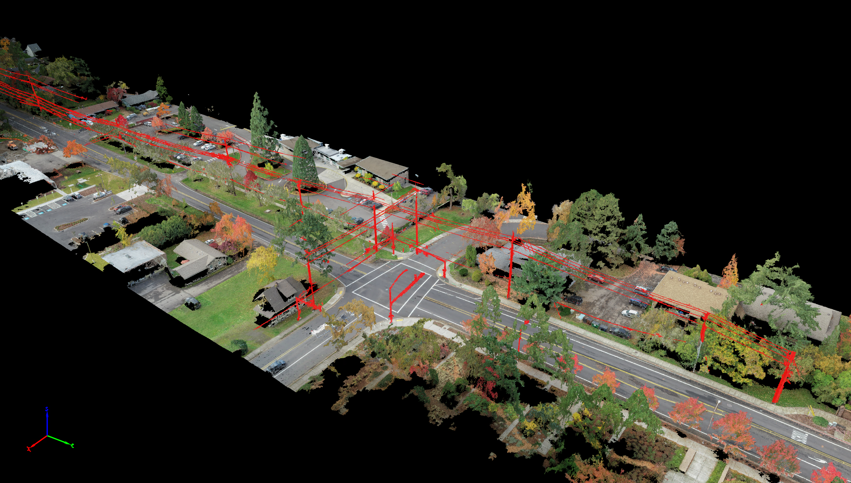
- Provide UAV/drone-based mapping to cover large areas with speed and safety
- Offer construction staking for roads, signals, and underground systems
Projects
-
Wilsonville Street Maintenance – Wilsonville, OR
S&F performed monument preservation, legal descriptions, ADA ramp surveys, and topographic mapping to support resurfacing and compliance improvements.
-
19th Ave Intersections – Phoenix, AZ
Our team surveyed multiple intersections for design and ADA upgrades, integrating utility locates and drone mapping for maximum coverage and accuracy.
-
Kelso Safe Routes to School – Kelso, WA
S&F supported ADA ramp improvements with detailed intersection surveys, utility mapping, and aerial photogrammetry.