

Overview
S&F supports land developers from the ground up. Whether subdividing a lot or mapping out a future park, our experienced team provides the boundary, topo, and construction staking services needed to bring plans to life. We guide projects through entitlements with speed and accuracy.
What We Do
- Perform boundary and topographic surveys for due diligence and design
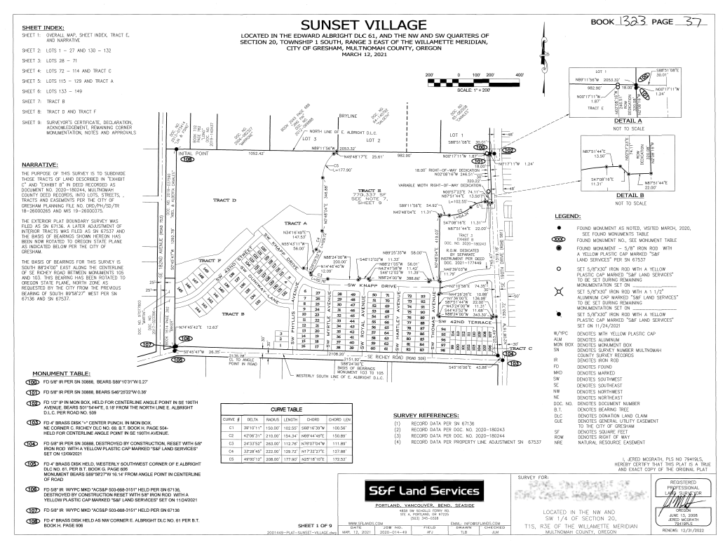
- Support plats, partitions, and boundary line adjustments
- Provide wetland, setback, and easement mapping for entitlement
- Deliver construction staking for grading, infrastructure, and utilities
- Integrate drone and terrestrial data for a full picture of site conditions
Projects
-
Sandy Community Campus Park – Sandy, OR
We delivered a full topo and as-built survey, covering terrain, buildings, and utilities to support the park’s redevelopment master plan.
-
Trieber Road Residential Site – Underwood, WA
S&F provided drone and ground topo mapping for design of a private home on a sloped site, including precise contour and access mapping.
-
Maple Ridge Subdivision – Battle Ground, WA
Our team supported this 20-lot residential development with boundary, topographic, and plat surveys for entitlement and infrastructure layout.
