

Overview
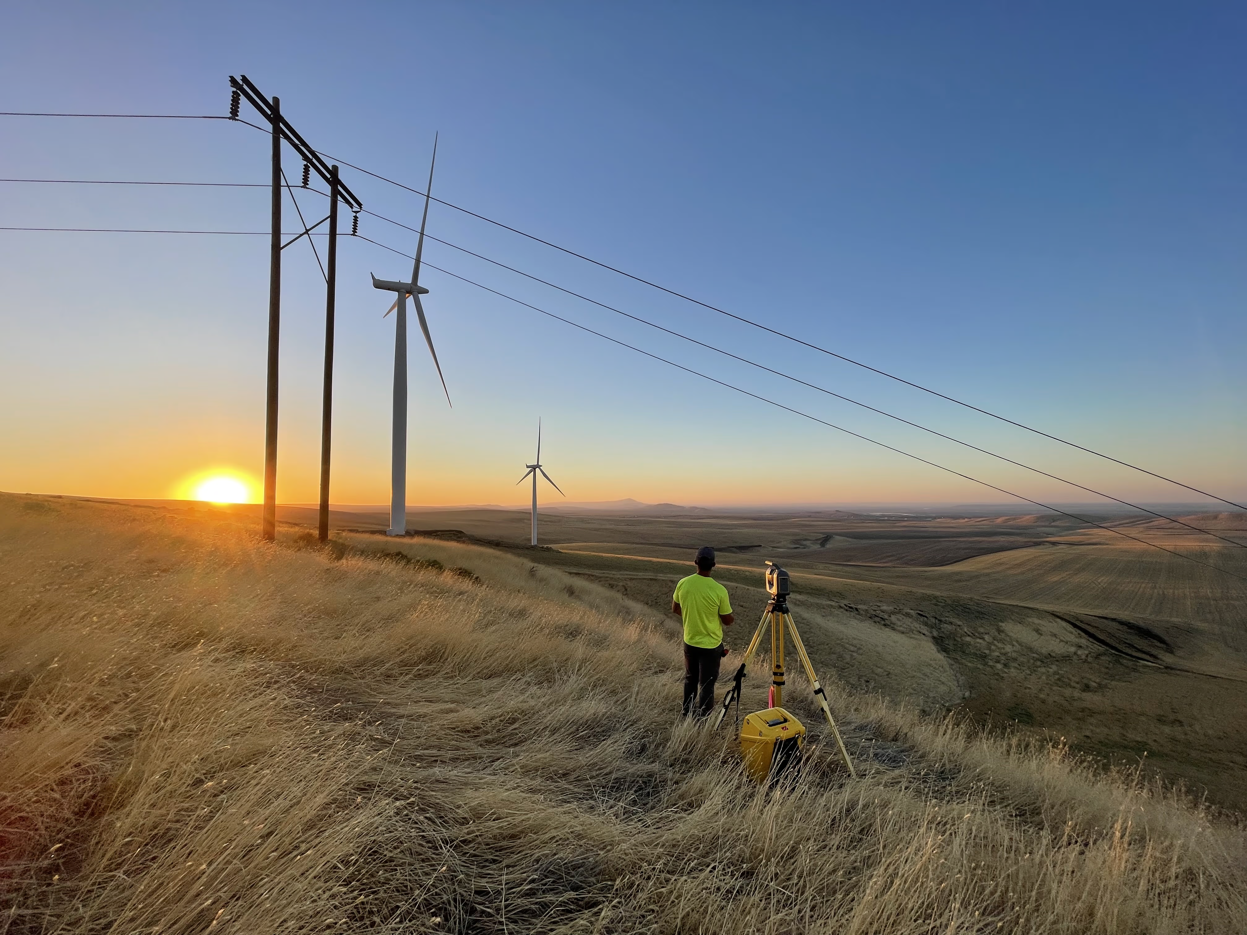
Power and energy providers trust S&F to support critical infrastructure with expert surveying solutions. Our teams provide the spatial data needed to plan, build, and maintain substations, transmission lines, and renewable energy facilities—safely, efficiently, and accurately.
What We Do
- Map transmission corridors and substation sites for design and upgrades
- Provide 3D terrestrial laser scanning for asset inventory and facility compliance
- Survey ROWs and boundaries for new energy infrastructure
- Use drone-based LiDAR and orthomosaics for rapid large-area coverage
- Prepare easements, plats, and legal documentation for permitting
Projects
-
St. Johns–St. Helens No.1 ARAR – St. Helens, OR
S&F delivered survey documentation, ROW mapping, and utility pole data to support line replacement and infrastructure enhancements.
-
Bonneville Power Administration – Substation Scanning – WA & OR
Using high-resolution scanners, we surveyed over 200 substations for detailed component analysis and compliance documentation.
-
South County Transmission Loop – Chehalis, WA
Our drone LiDAR and ground survey team captured 4 miles of corridor data, supporting design and permitting for future power delivery.