Industrial Re-Use Pipeline

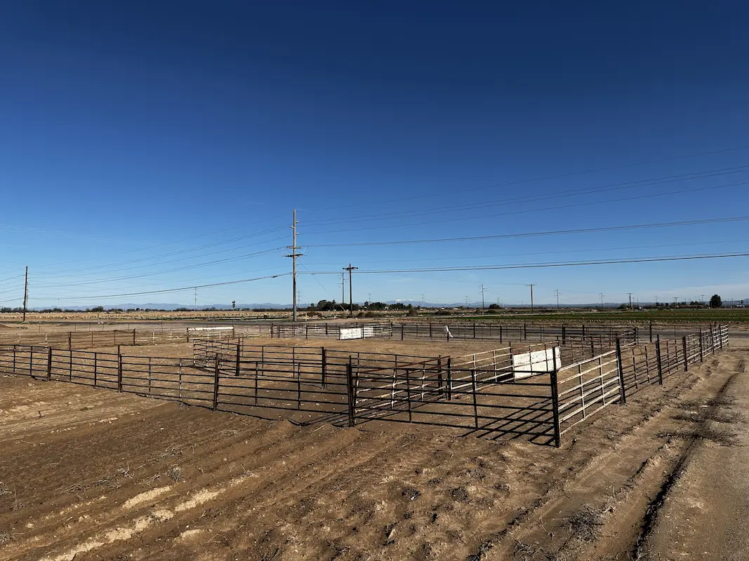
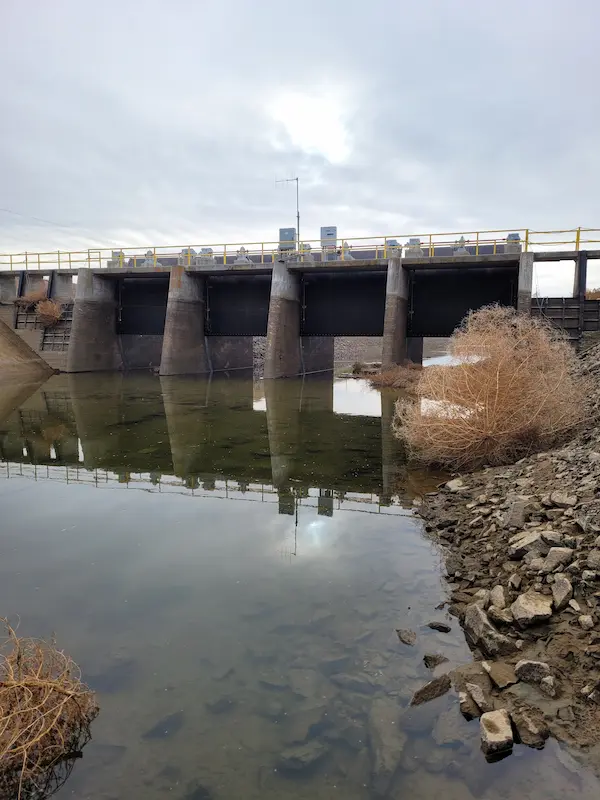
Industrial Re-Use Pipeline Quincy, WA S&F is providing full survey support for a 13-mile industrial re-use pipeline project in Quincy and the surrounding areas of Grant County. The pipeline system, overseen by the Washington State Department of Ecology, transports treated wastewater from a food processing facility to irrigation ponds for agricultural reuse. Our scope includes … Read more
Pacific Science Center

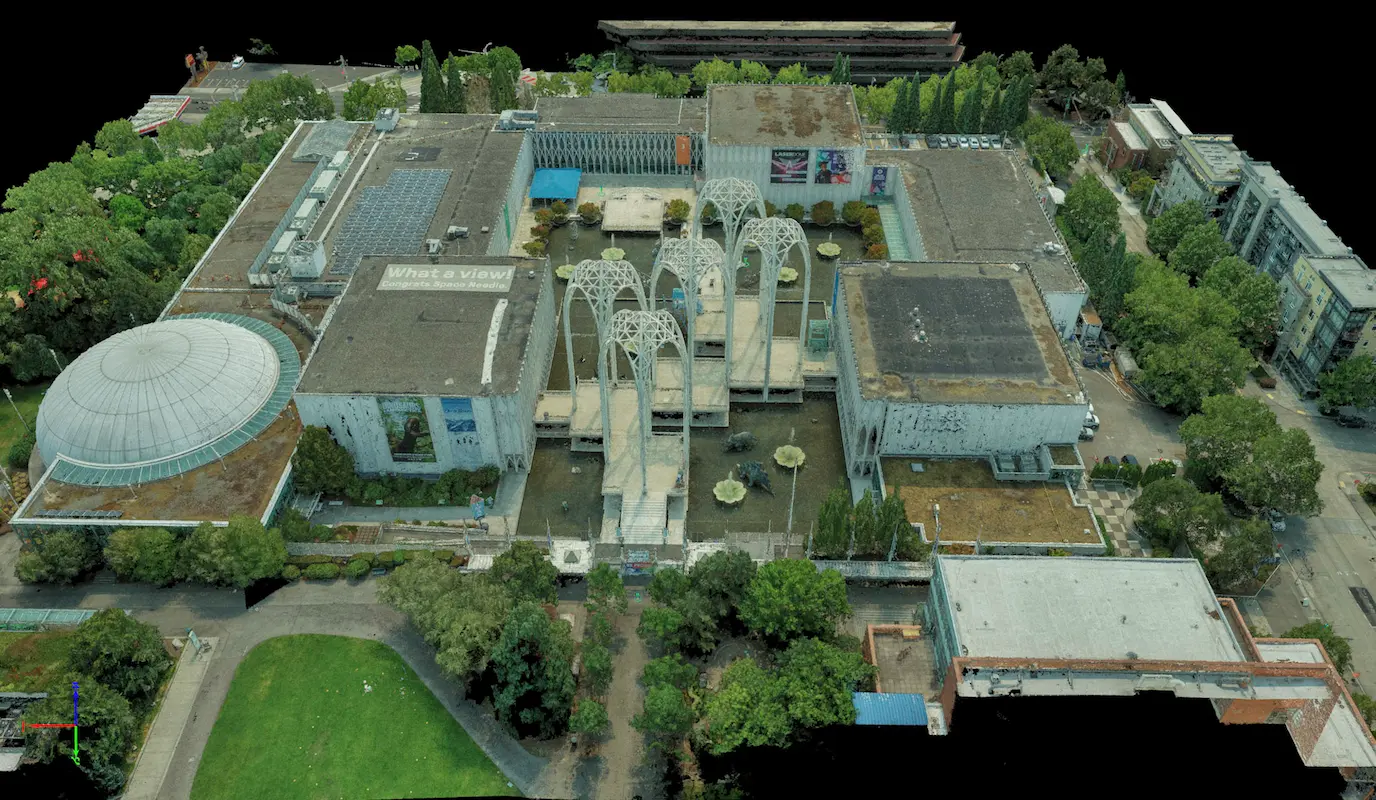
Pacific Science Center Seattle, WA S&F performed a rooftop survey and FAA 1-A accuracy certification to support telecommunications infrastructure planning at the Pacific Science Center. Services included preparation of FAA 1-A documentation, topographic mapping of the proposed cell-site area, and incorporation of aerial photography and photogrammetric reference imagery to verify rooftop geometry, positional accuracy, and … Read more

Union Bay Relocation

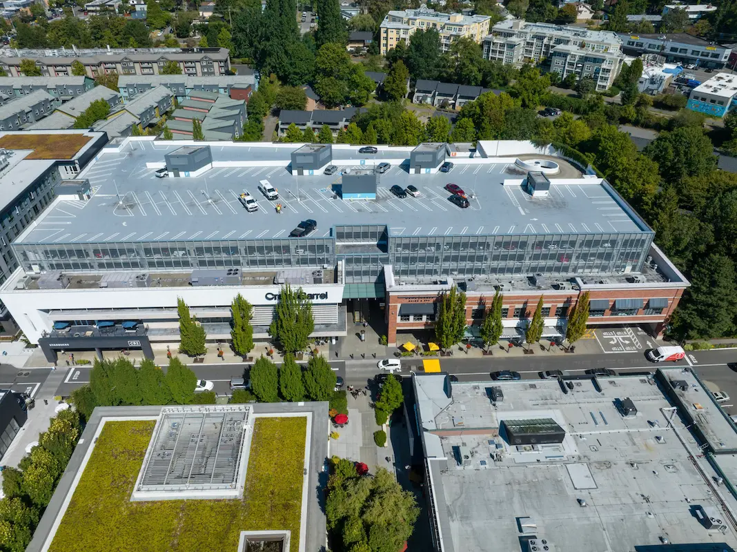
Union Bay Relocation Seattle, WA S&F completed a detailed site survey supporting installation of a new rooftop telecommunications facility at University Village in Seattle. The work included boundary definition, vertical relief mapping, and location of improvements and utilities coordinates, supported by aerial photography and rooftop imagery used to document existing conditions, evaluate siting constraints, and … Read more

Casa Grande Substation

Casa Grande Substation Casa Grande, AZ Topographic survey and aerial imagery for approximately 60 acres to support access rights and design to a new substation. A full existing conditions map was produced including surface data, planimetrics and utilities. Additional survey support included preparing a legal description for the access easement and a boundary survey to … Read more

Multiple Solar Farms Ranging from 500–6,000 Acres

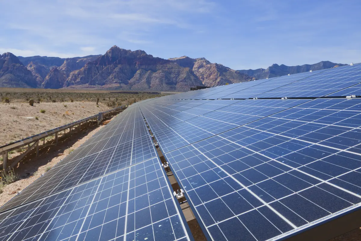
Multiple Solar Farms Ranging from 500-6,000 Acres Arizona & California S&F Land Services has performed topographic and boundary surveying for many Solar sites throughout Arizona and neighboring states. Often, time is of the essence on the larger sites. S&F decreases the timeline of work by utilizing UAV/drone (LiDAR and Imagery) to map these large sites. … Read more

Superstition Springs Center Redevelopment

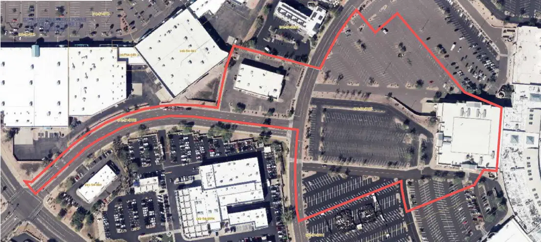
Superstition Springs Center Redevelopment Mesa, AZ S&F performed an ALTA/NSPS Land Title Survey for a 13-acre parcel within the Superstition Springs Center under an expedited one-week timeline. The team conducted a boundary survey and mapped planimetric features using drone-based imagery to produce an orthorectified image of the site. Field crews supplemented the aerial data by … Read more

U-Haul Tucson

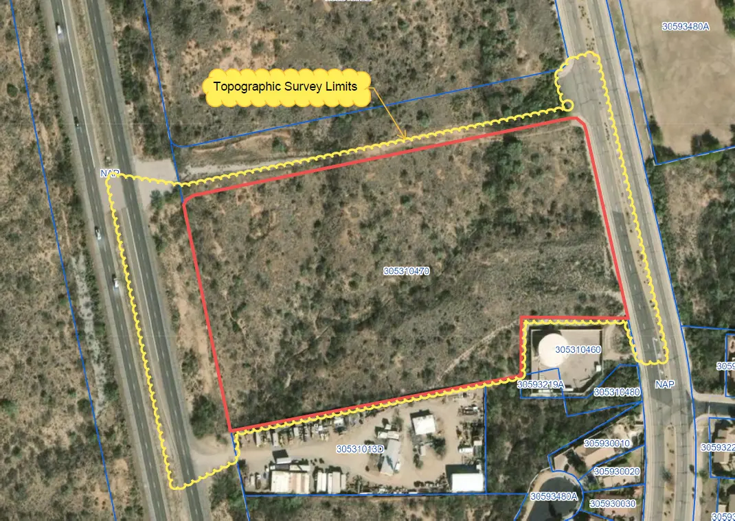
U-Haul Tucson Tucson, AZ 11 acre ALTA survey and full topographic survey for design purposes to support the design of a new U-Haul facility in North Tucson. The site consisted of a wash running through the middle of the property. UAV/drone mapping was used to create a dense point cloud of the surface – creating … Read more

Town of Marana Heritage Park Water Treatment

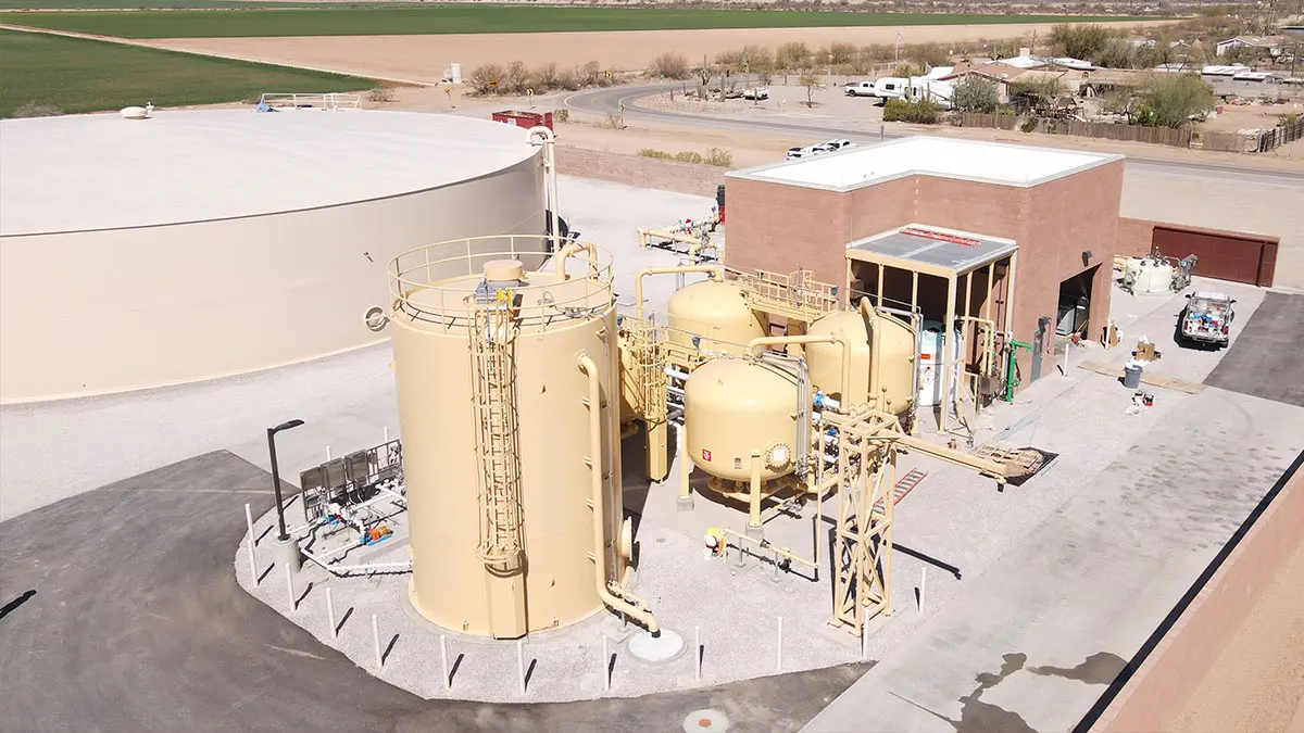
Town of Marana Heritage Park Water Treatment Marana, AZ A full topographic and boundary survey to support the design of centralized water treatment at Heritage Park in Marana, AZ. A combination of UAV/drone mapping and ground survey techniques are used to collect data for 14 acres of the park and nearby existing facility, along with … Read more

Transit Center (First Transit)

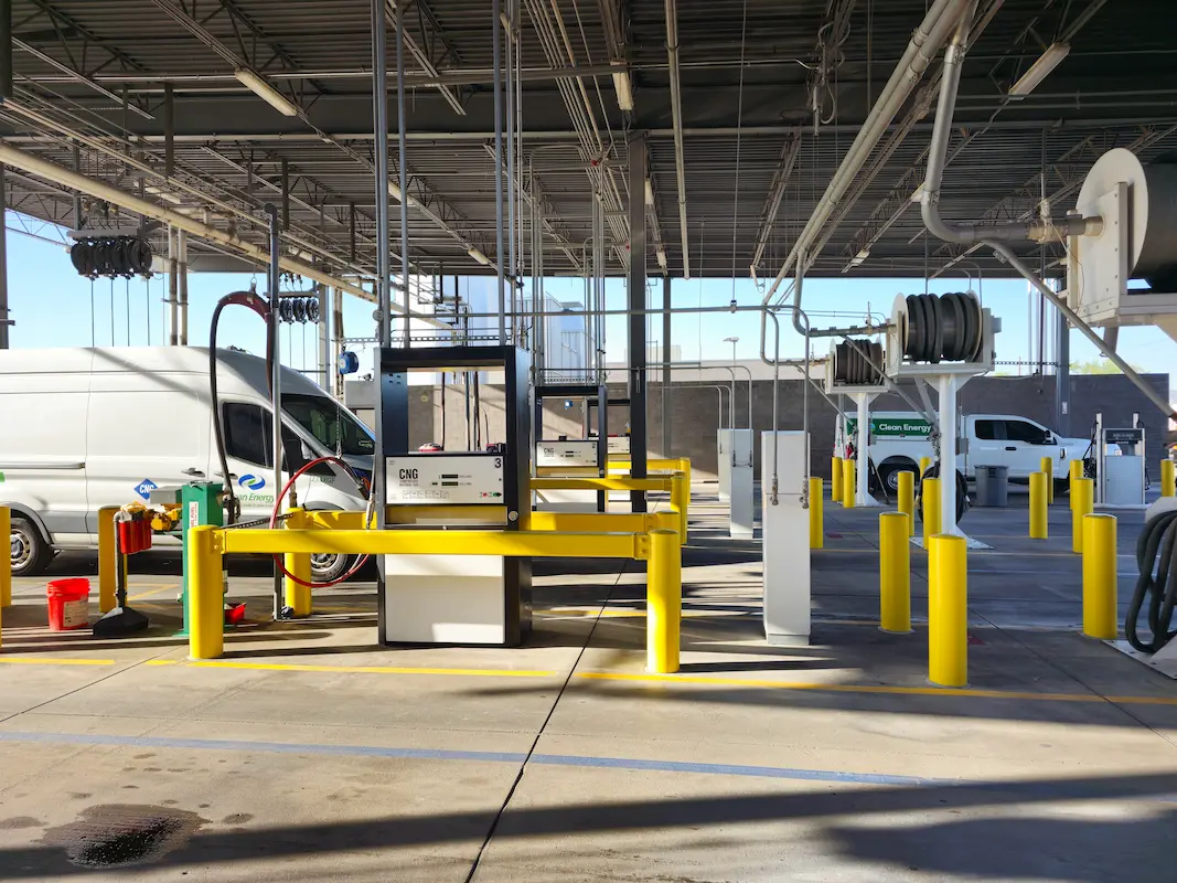
Transit Center (First Transit) Phoenix, AZ S&F performed a topographic and boundary survey for First Transit’s N 79th Avenue Bus Fueling and Maintenance center. This site consists of 25 acres of improved property, buildings, parking, fueling stations and additional facilities. S&F also surveyed adjacent N 79th Ave. Portions of the site were mapped with drone/imagery– … Read more

Peoria Municipal Operations Center

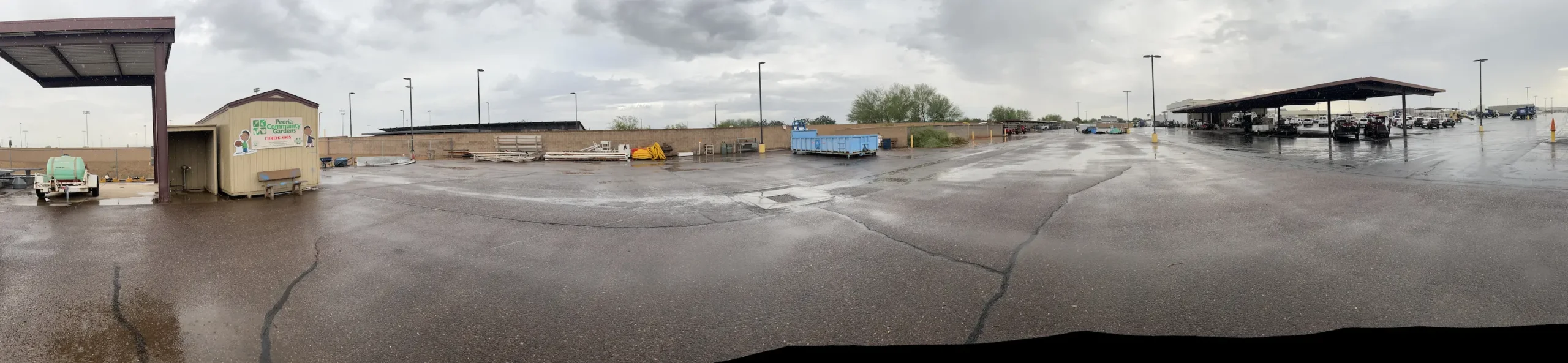
Peoria Municipal Operations Center Peoria, AZ ALTA Survey, Topographic Survey, underground utilities, boundary and easements for the City of Peoria’s Municipal Operations Center. This 20-acre site consisted of parking, buildings, staging, maintenance areas and adjacent roadways. A full topographic survey, including underground utilities, was provided. The entire site was flown with UAV/drone to produce a … Read more