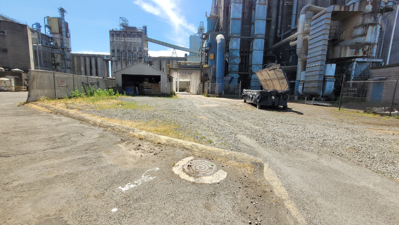
Port of Longview Waterfront Ownership

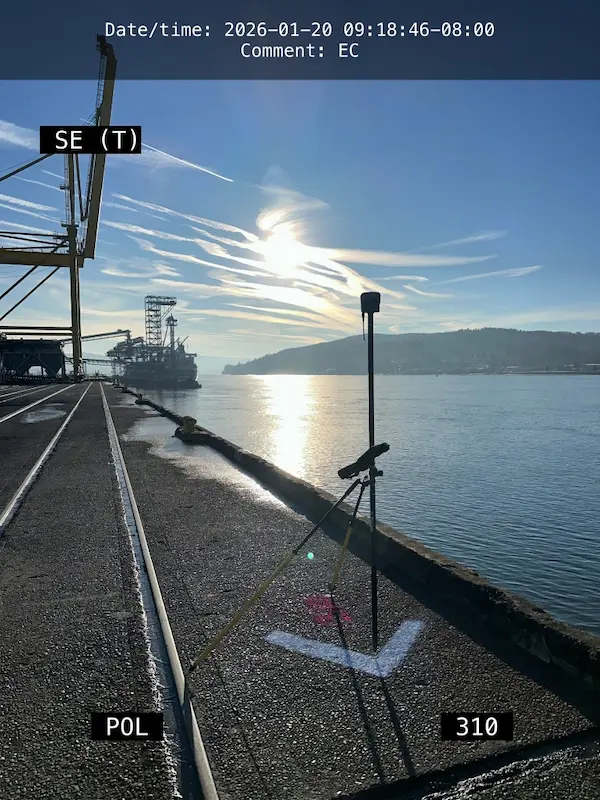
Port of Longview Waterfront Ownership Longview, WA S&F is currently working on a multi-phased project, initially involving deed review and boundary calculations for the Port of Longview’s Berth 1 through Berth 9 ownership for proposed modifications to the Federal Navigation Channel fronting the Port of Longview. This work involves working off of existing PMA survey … Read more
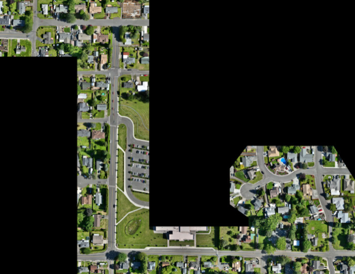
Portland Meadows

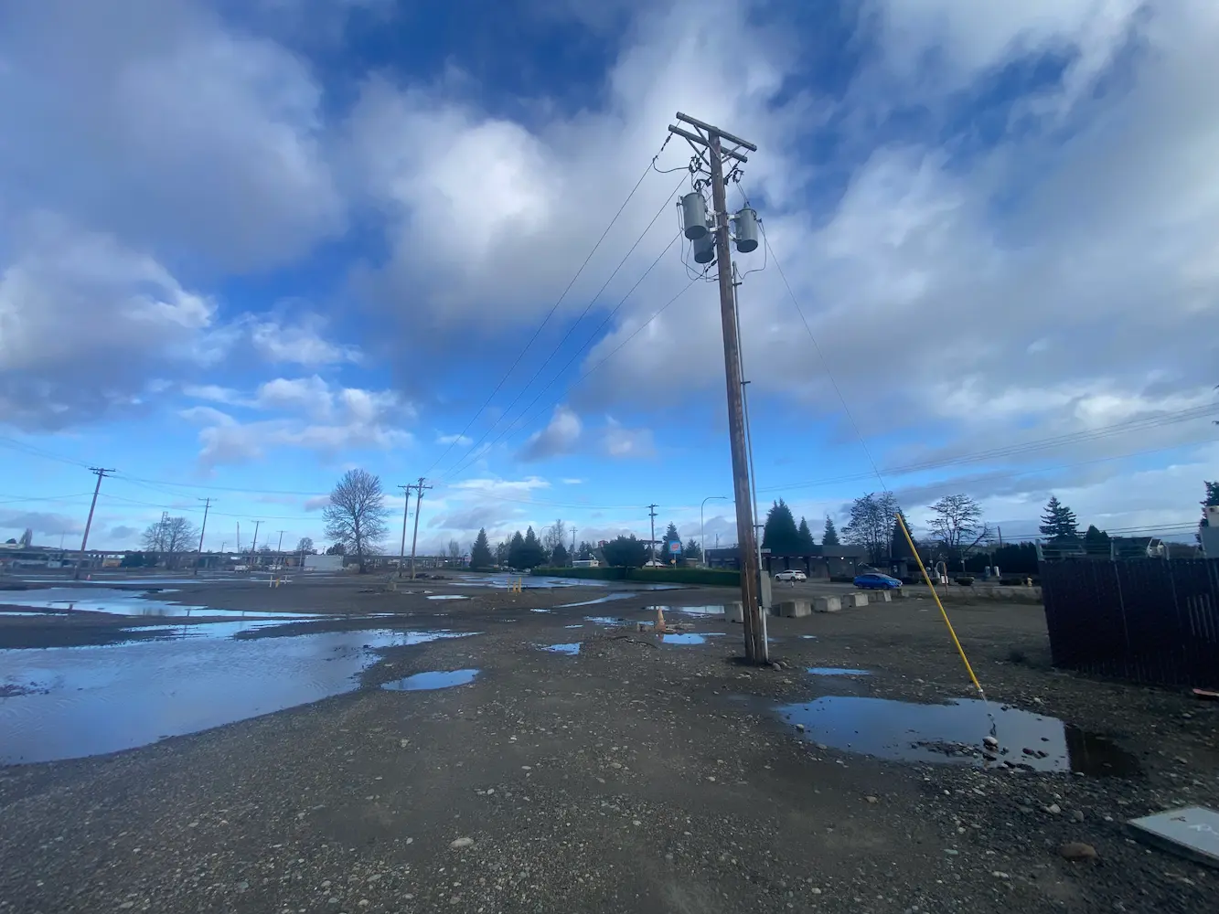
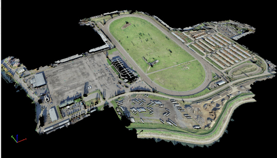
Portland Meadows Portland, OR S&F performed two plats, totaling 120 acres, through the City of Portland’s unique “Lot Validation” process. The final plats included preparing legal descriptions of the very complicated boundary resolution of historic properties bound by canals, slough, roadways and historic deeds of large scale. All of the properties involved were affected by … Read more

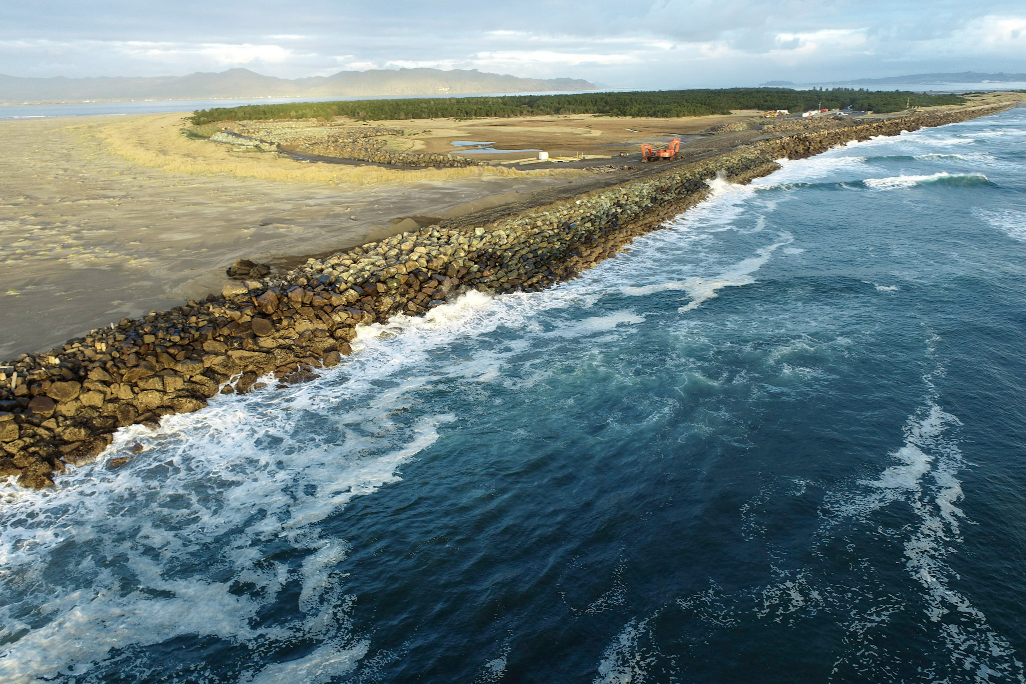
MCR South Jetty

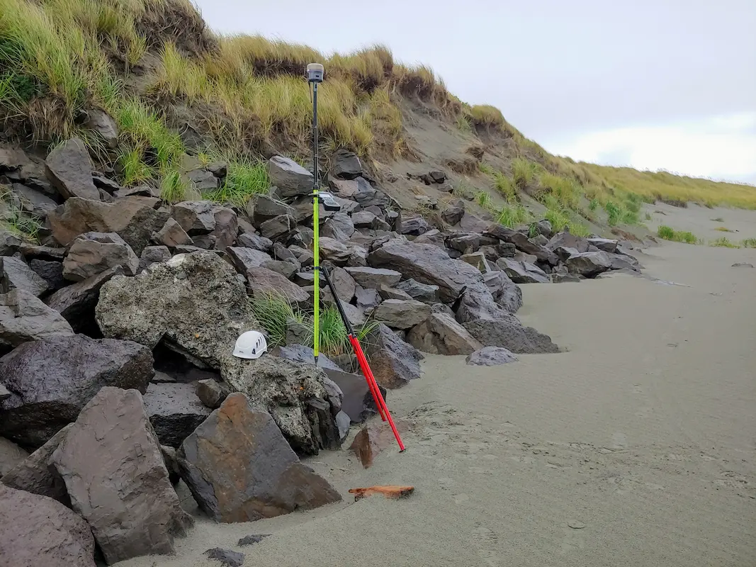
MCR South Jetty Clatsop County, OR S&F, in partnership with JE McAmis, was selected by USACE for the 5-year South Jetty Rehabilitation Project. S&F conducts near-monthly UAV flights to monitor construction progress and seasonal degradation, and performs UAS mapping over a 3-mile stretch of the Jetty. We also manage a subcontracted multi-beam hydrographic survey conducted … Read more

POV 2026 Utility Mapping

POV 2026 Utility Mapping Vancouver, WA S&F conducted utility as-built mapping for Terminals 3 through Terminal 5, covering approximately 300 acres. They coordinated private utility locates, mapped existing structures, and facilitated the creation of an infrastructure baseline for future Terminal 5 clients. During the course of this mapping effort, the Port of Vancouver Berth 17 … Read more

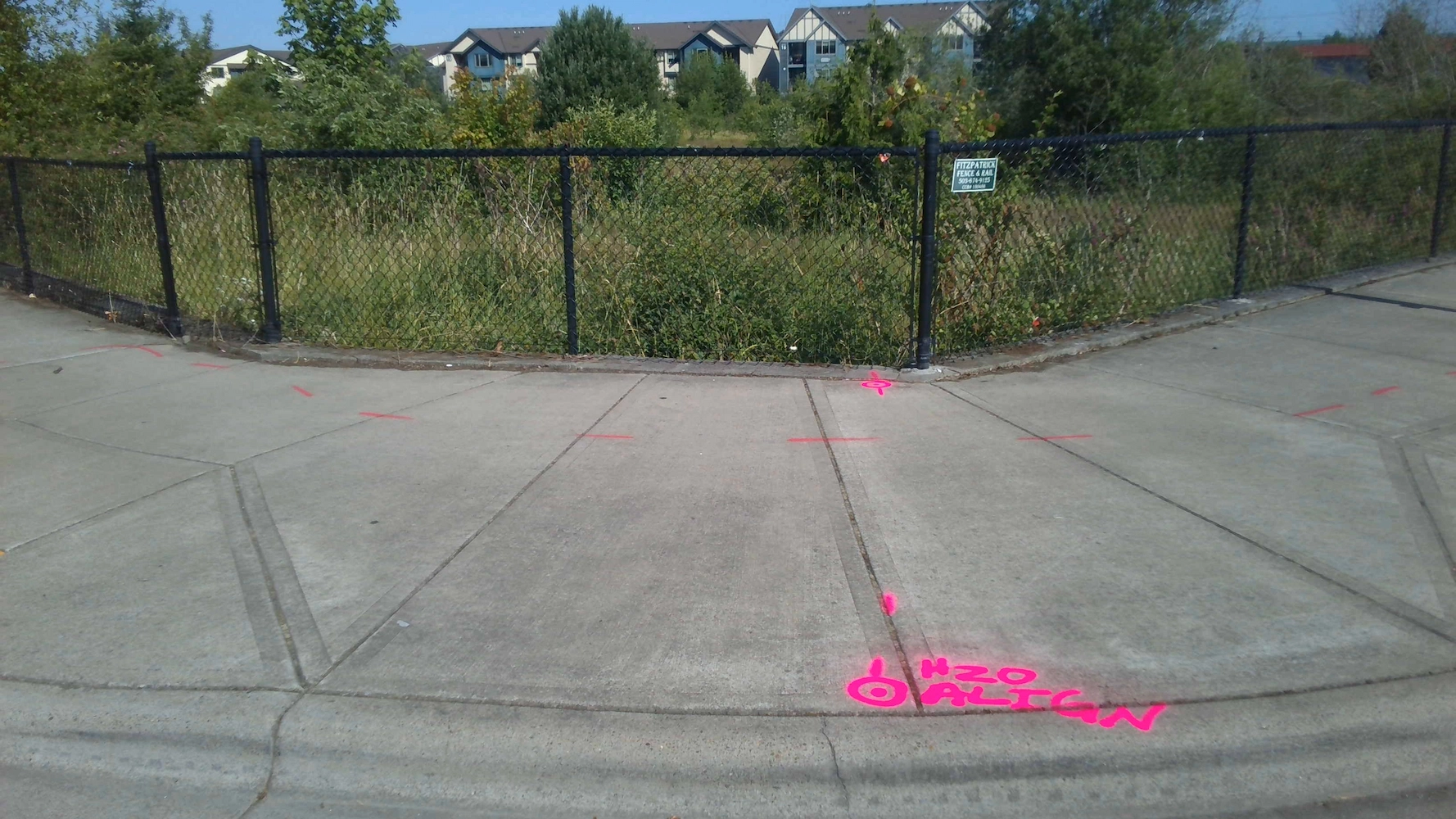
Truman Elementary

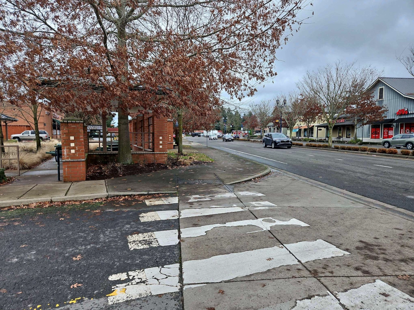
Truman Elementary Clark County, WA S&F was selected by Clark County to perform surveying and mapping, supporting their design of a sidewalk and access improvement project. The scope consists of topographic surveying, aerial/drone mapping, right-of-way resolution, underground utility investigation, monument preservation and legal descriptions. The project is approximately 3/4 mile long. Project Details MARKETEducation, Transportation … Read more

North Water Transmission Line Intertie

North Water Transmission Line Intertie Beaverton, OR S&F was the survey subcontractor on The City of Beaverton NTLI Project, a 6.5-mile water line transmission intertie project. S&F provided topographic land surveying for 7 miles of roadway – and 11 drainage/waterway crossings (bridges and culverts). The scope consists of utility coordination, UAS-drone flight and photogrammetric mapping, … Read more

Grays Harbor North Jetty

Grays Harbor North Jetty Grays Harbor County, WA S&F is currently providing surveying and remote sensing services in support of the U.S. Army Corps of Engineers’ multi-year Grays Harbor North Jetty Repair project, performed as part of the USACE–Big River construction team. S&F anticipates conducting near-monthly Unmanned Aerial Vehicle (UAV) flights to document construction progress, … Read more

Wilsonville Street Maintenance

Wilsonville Street Maintenance Wilsonville, OR S&F has been providing services to the City of Wilsonville on these annual projects for four years. Our work includes topographic surveys produced via UAV/drone and conventional survey methods. We also produce a control and monument recovery survey for monuments that could be disturbed during construction. We have worked on … Read more

Amisigger Road

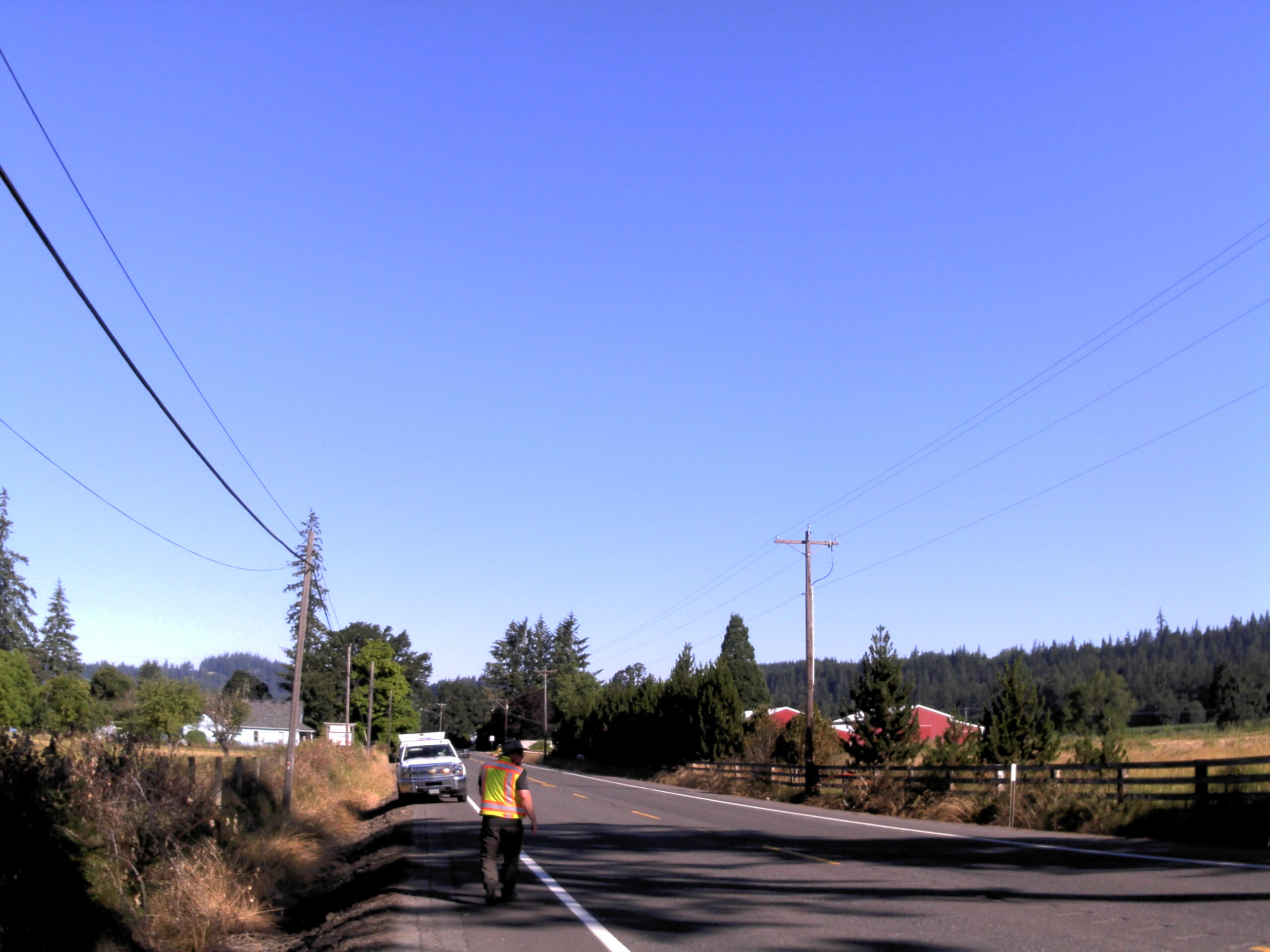
Amisigger Road Clackamas County, OR S&F completed a topographic survey of approximately 3,600 feet of Highway 224 and 1,600 feet of Amisigger Road, along with around 500 feet of creek limits, incorporating environmental consultants’ markings. The scope included retracing, resolving, and reestablishing 4,700 feet of right-of-way boundaries, creating a project centerline, right-of-way limits, and perpetuating … Read more

BNSF Auburn Yard

BNSF Auburn Yard Auburn, WA S&F provided surveying and mapping of the BNSF Auburn Yard IMF needed to design new infrastructure and IMF loading and parking. Survey of the 220 acre IMF included ground-based survey of all existing rail features and grade crossings as well as collecting low altitude high resolution aerial imagery with LiDAR … Read more